

Bay to Bay walk (B2B) in Kanagawa Prefecture Japan. Kuruwa Beach to Yokosuka. Jan. 2025.
“Thoughts come clearly while one walks.” – Thomas Mann

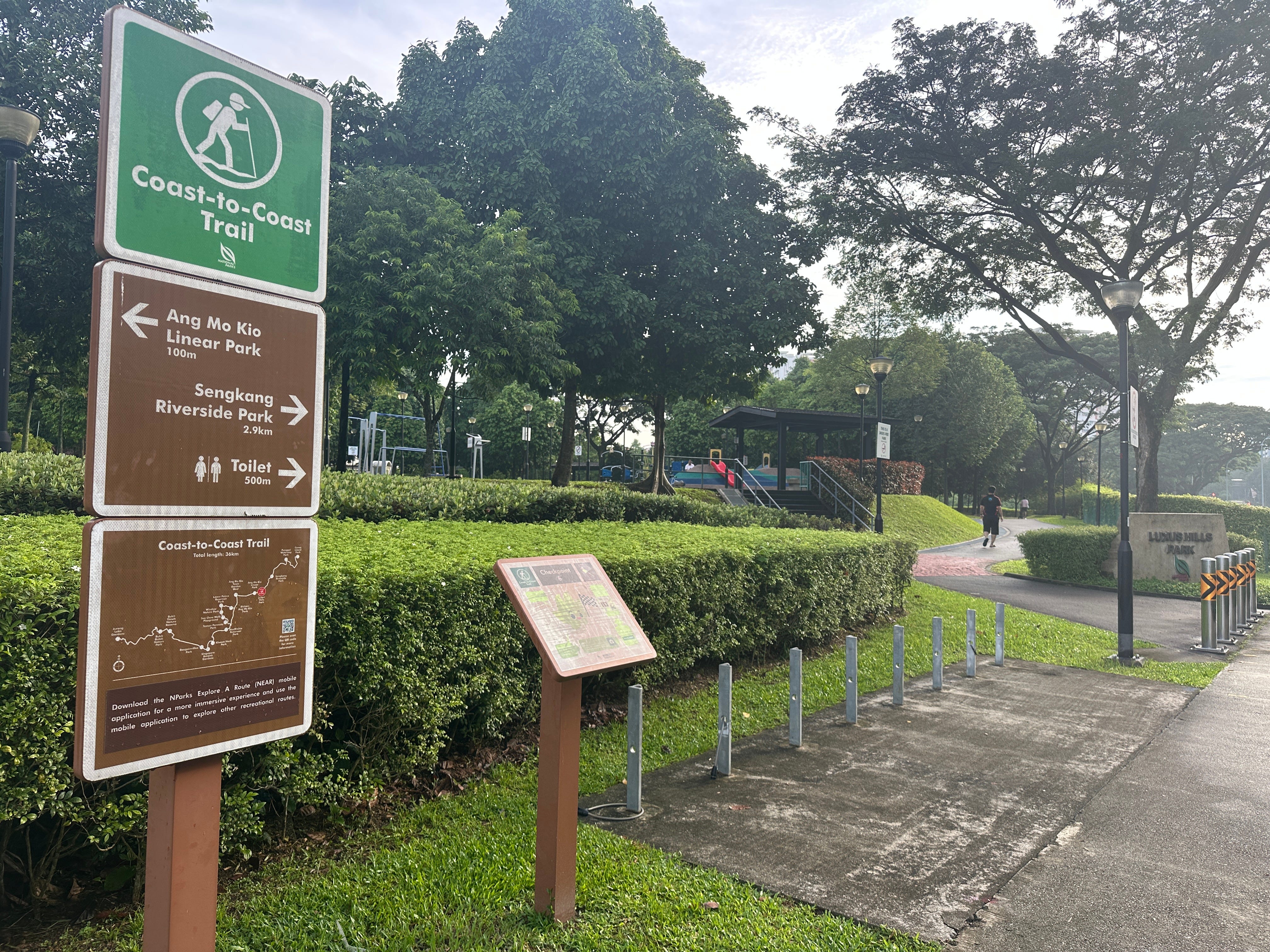
I live on Miura Peninsula south of Yokohama, Kanagawa Prefecture, Japan. The peninsula is between Tokyo Bay on the east, and Sagami Bay on the west. So, one day I thought why not to do a B2B (bay to bay) walk across the peninsula, largely inspired by my December 2024 C2C (coast to coast) hike in Singapore. Besides, I found that such walk already exists as a part of Kanto Fureai trail, I just need to improvise a bit.
You can start B2B walk from any of the beaches close to Zushi JR station (Zushi Beach, Morito Beach etc.), but this will add around two hours to already long 5 hours or so walk.
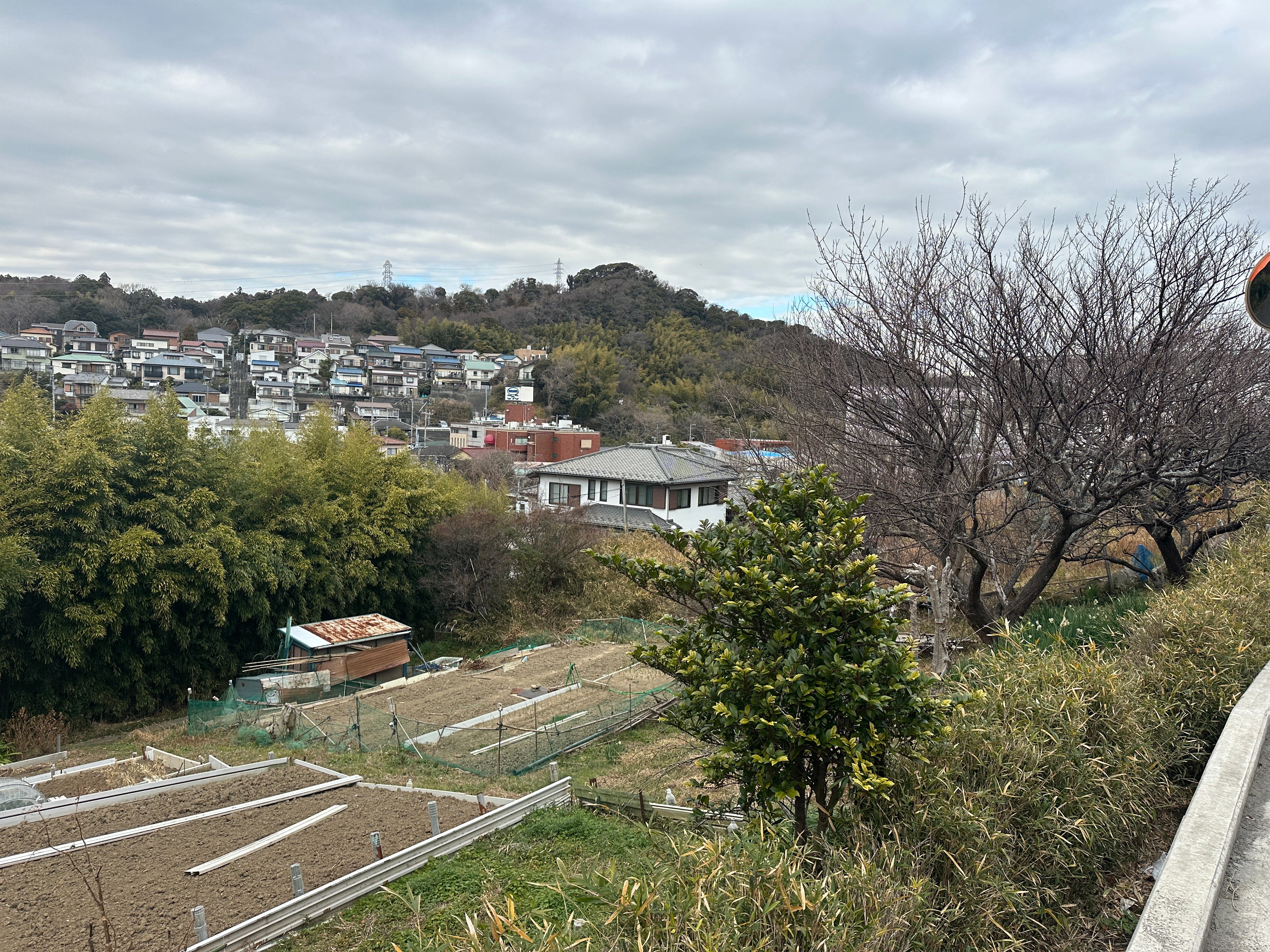
The idea is to cross the peninsula, starting at the beach, climb Mount Ogusu (242 m), then walk through the suburbs of Abekura and Ikegami, climbing again to Tsukayama Park with its nice views, and finally descending at Verny Park, Yokosuka. Why I like this route? Because you move through the different scenes - beaches, mountains, villages, small and big towns - senses jumping from the rustle of leaves and running squirrels, views of blue water and Fuji to the humming of mundane urban traffic.
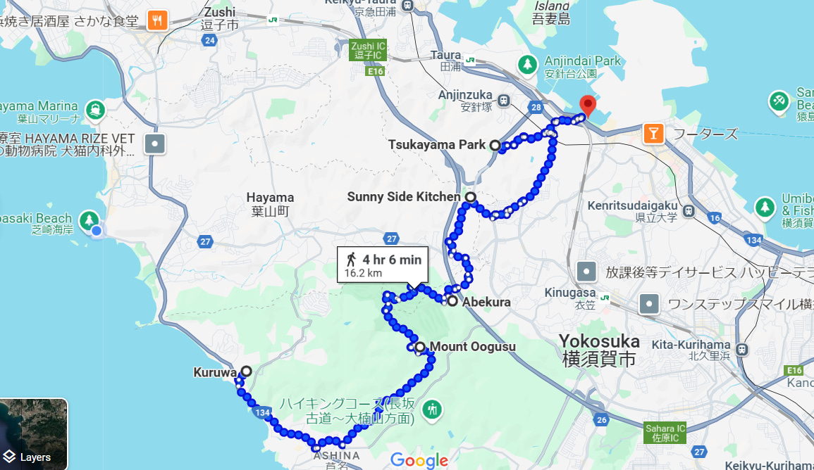
So, for a start I took a bus to Kuruwa Beach departing from Zushi JR station (this year I repeated this hike already three times, but in different variations, I will mention some in this post).
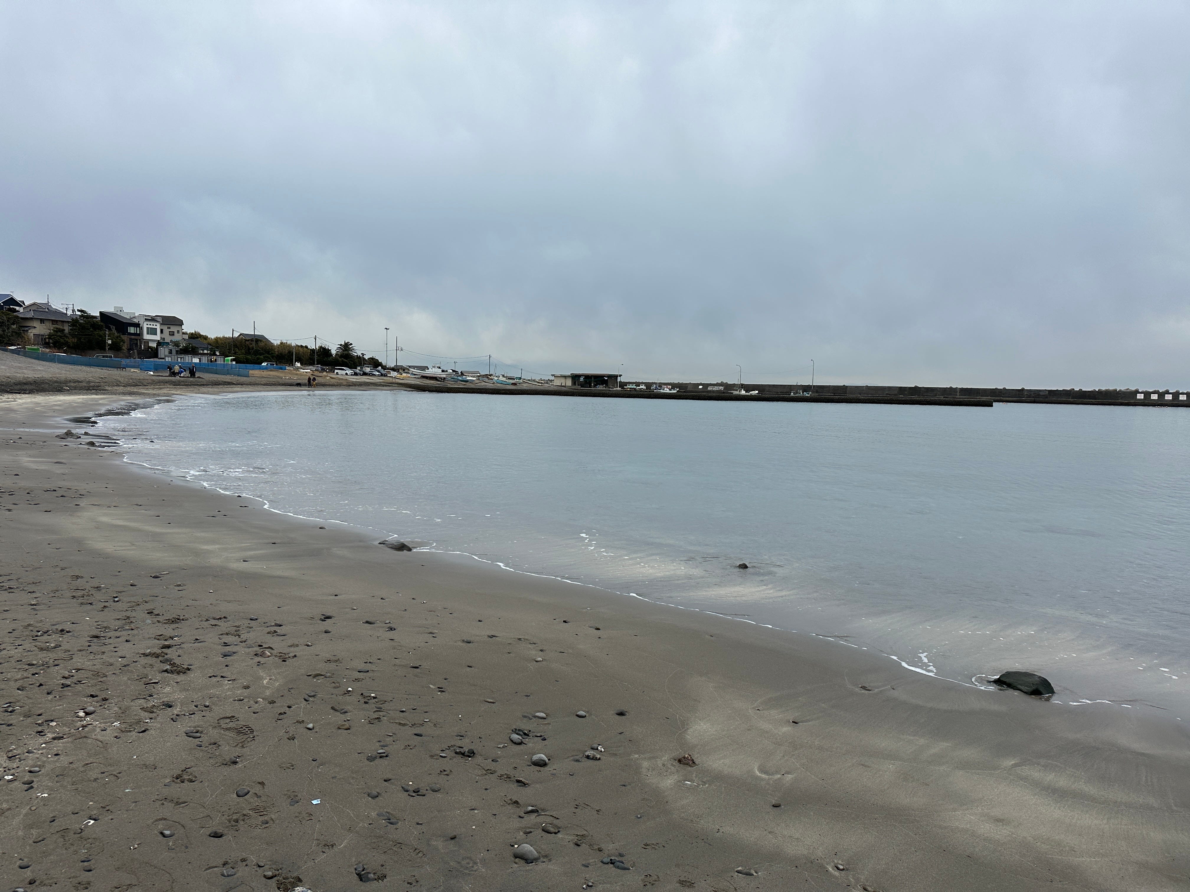
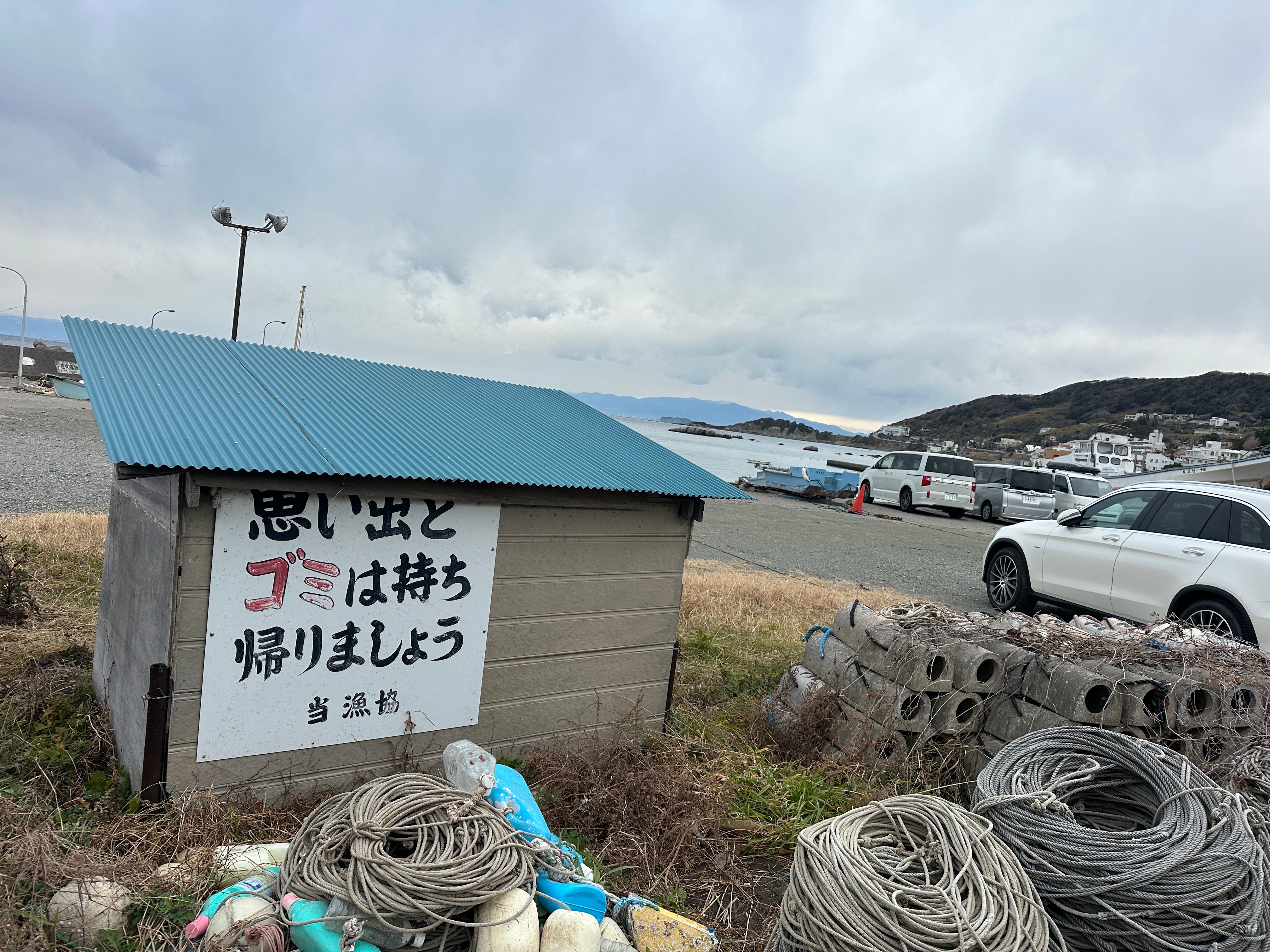
I liked this sign near a fishermen storage hut. “Please take your memories and rubbish back home - The Fishermen’s Association”.
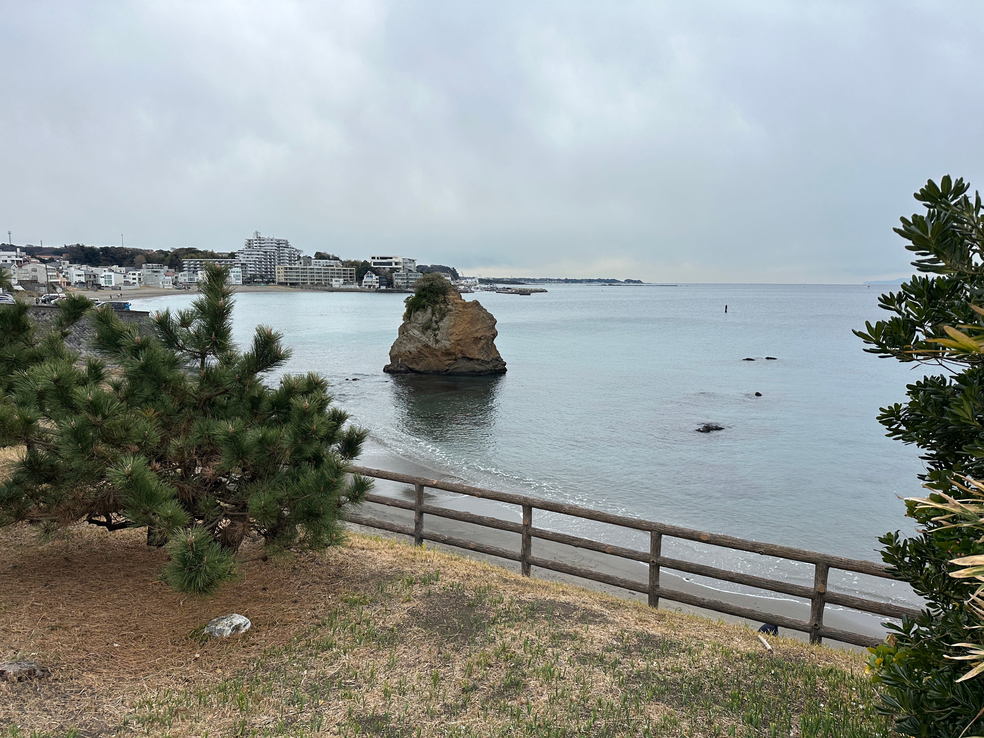
Walking along the coast you will soon reach Tateishi Park with a lonely rock bathing in the sea.
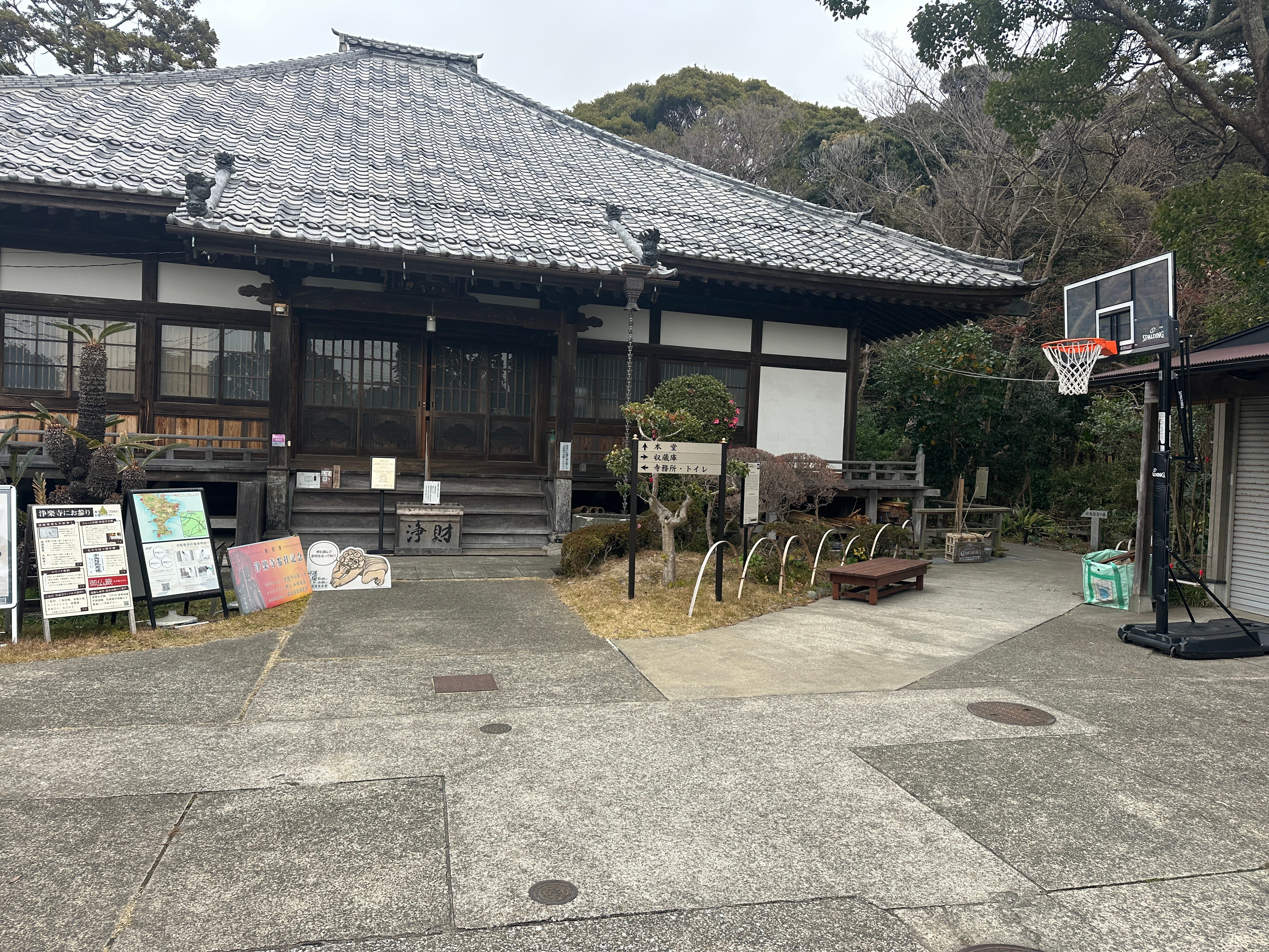
Actually, the proper (marked) start of the walk is near Maedagawa (Maeda River), but I walked past it to explore the surroundings of Jorakuji Temple, believed to be around for nearly 800 years. I sometimes call it “basketball friendly” temple, you can see why by looking at the picture,
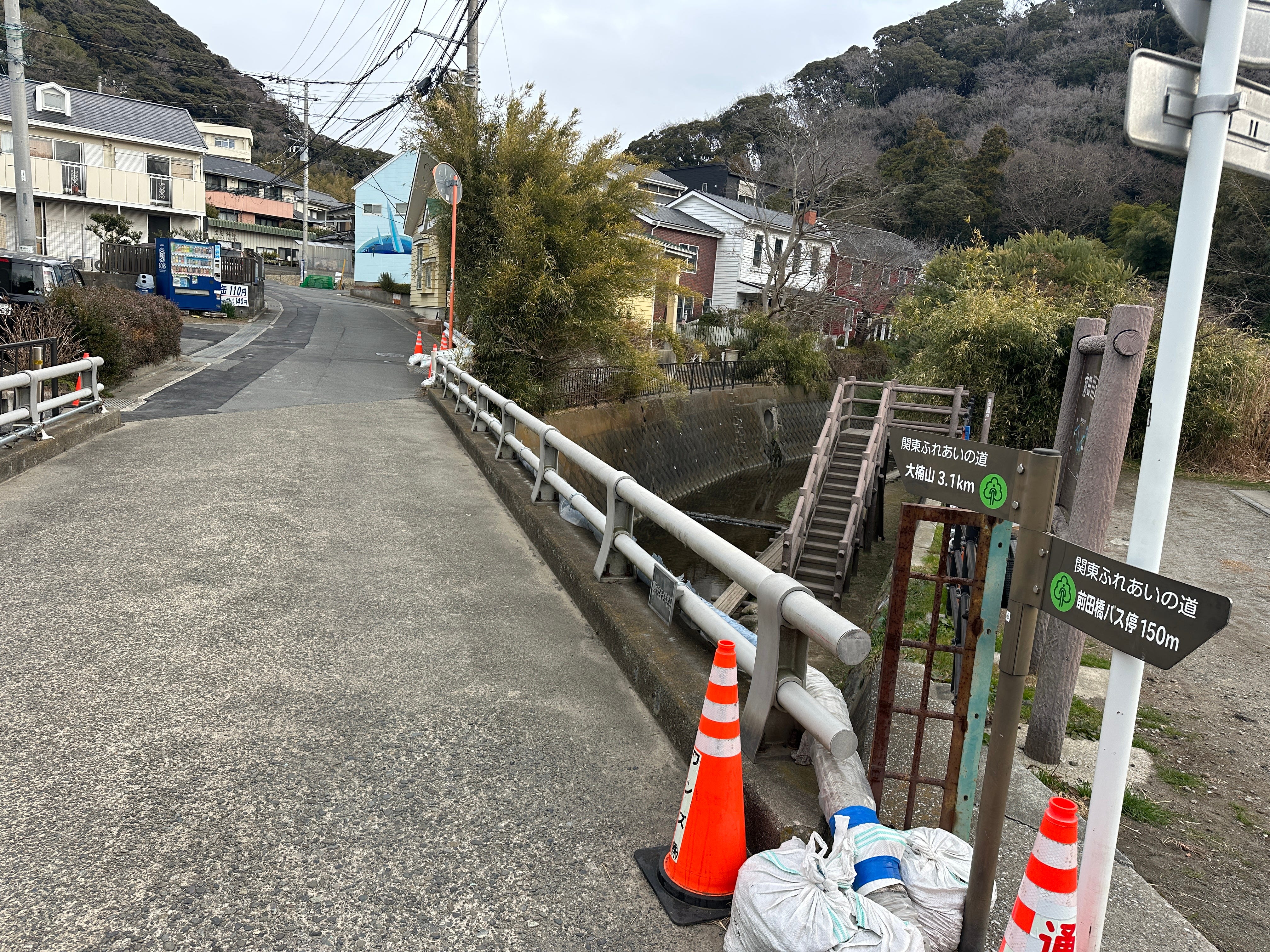
Having satisfied my temple curiosity, I turn back and walk to Maedagawa Bridge where there is an official start of Ogusu Mount hike, with a proper sign to confirm that.
You can descend and walk along the river or walk straight - both paths will merge in around 20 minutes.
I opted for a river walk, inside a small ravine. It can be slippery, so if not sure, walking on the paved road above is safer.
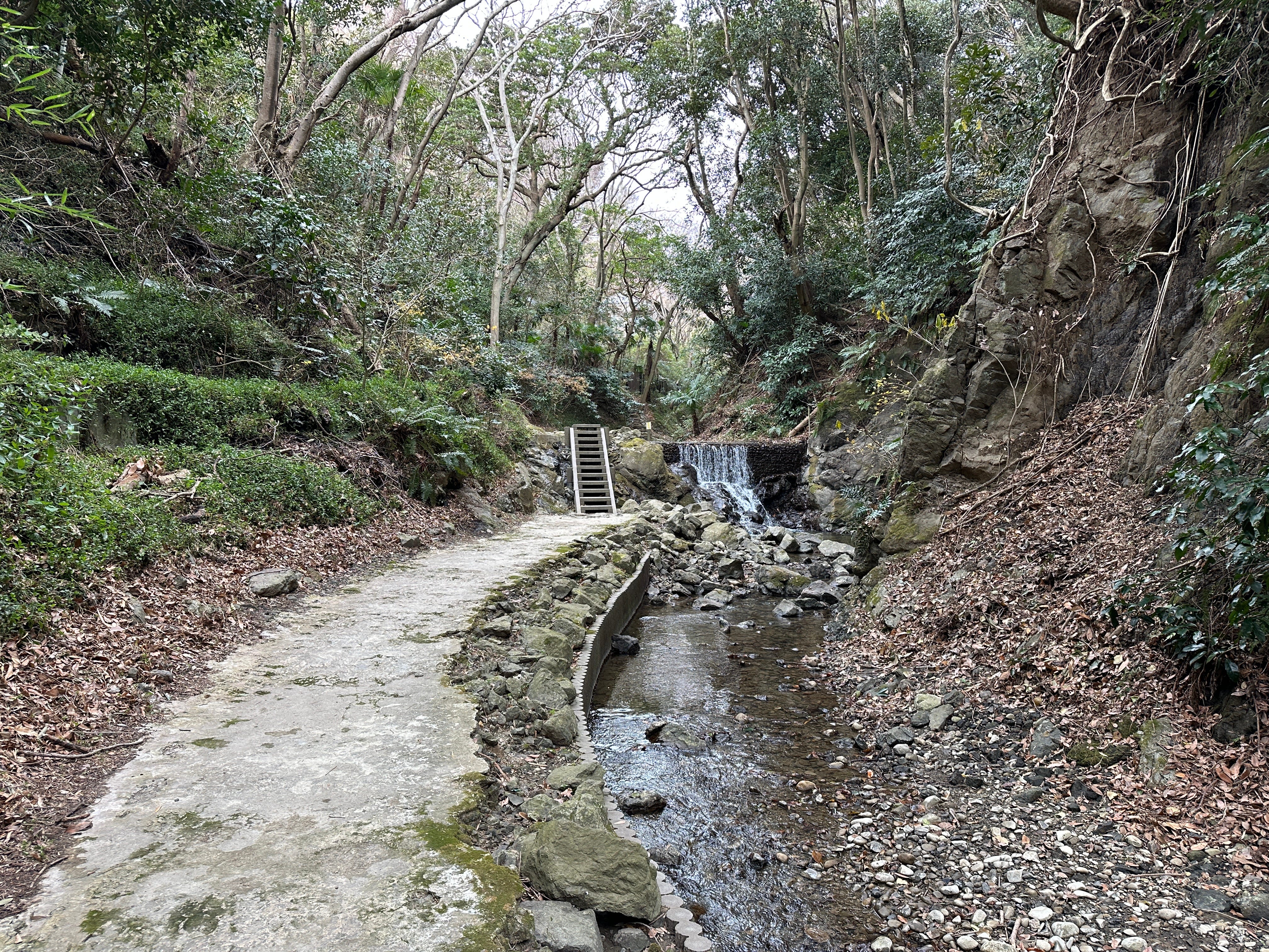
Soon both tracks join, and you will start a steady climb.
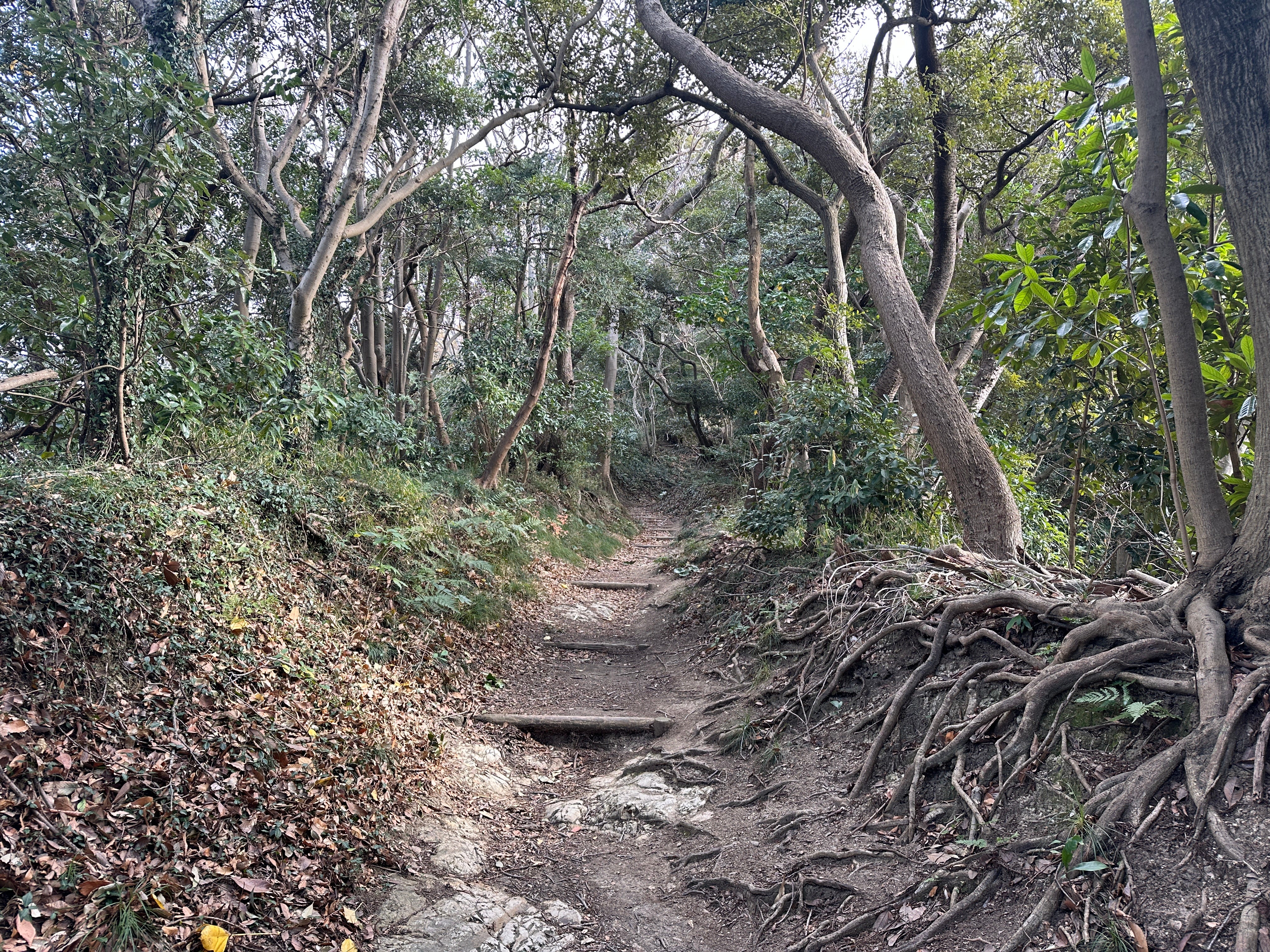
This year January is warm, so some greenery around.
Some benches to rest. If you sit down and keep quiet, all the birds and squirrels (a lot of them) will resume their busy activities not always visible to your eye but clearly heard through the rustle of the shrubs and leaves. I like these moments of a “freeze” when you kind of become unseen to the “locals” and they rejoice at their incessant activities.

Having enough of this cocktail made of nature sounds I then enter the final climbing stage, steeper now, towards the Ogusu.
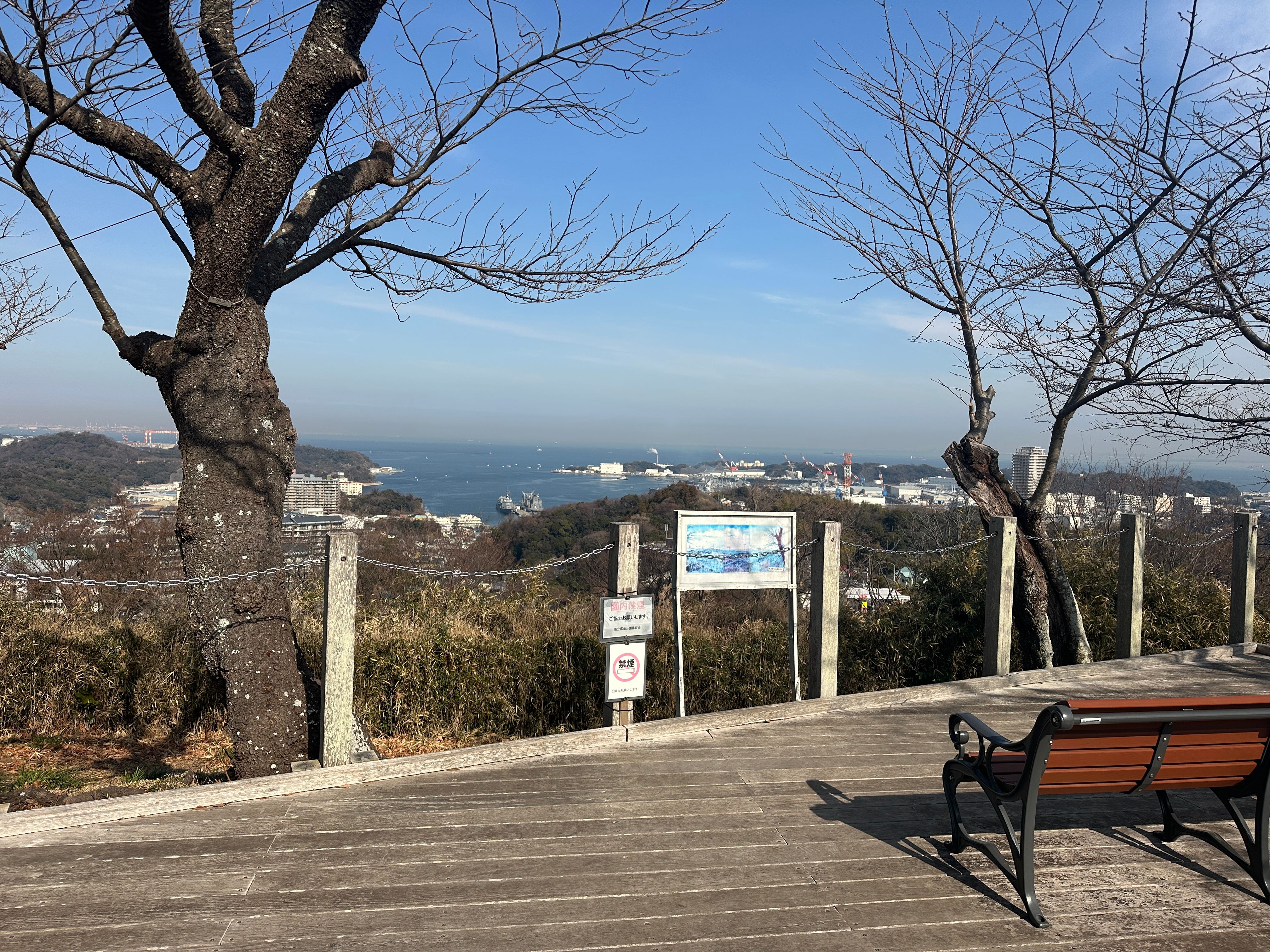
There are two viewing areas on the summit of Mount Ogusu. One is on the top of the viewing tower, and another is at the rest area near the summit sign


I prefer the tower. Normally no people here and the views are better. On the left (below) Mount Fuji and on the right Misakiguchi and Cape Tsurugisaki.


Tea break finished, views absorbed, I am now descending close to a golf course and following signs to Tsukayama Park.


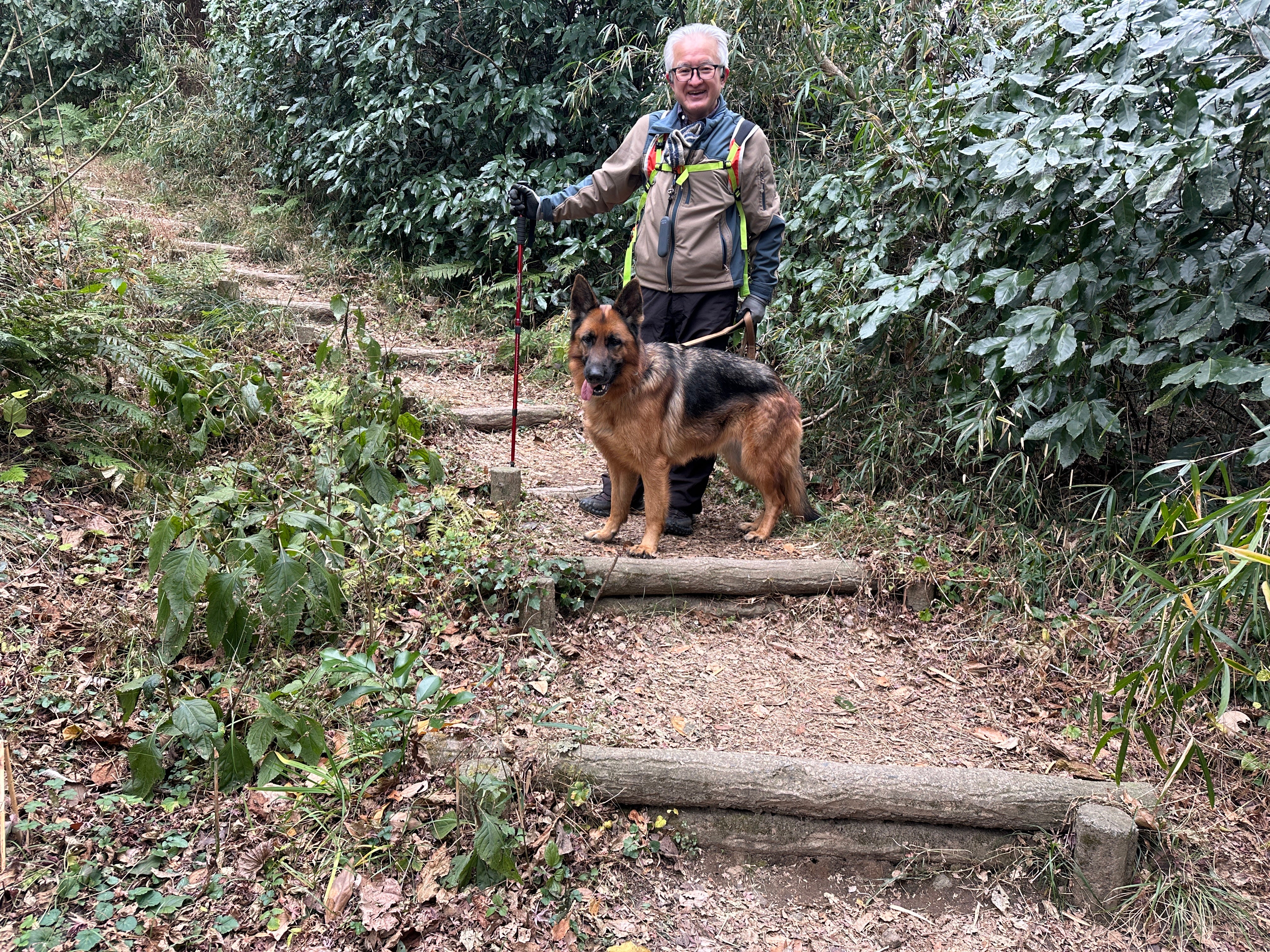
A beautiful encounter. Love them, shepherds. The owner is a regular hiker in the area. “But I am doing it mostly for the dog”, a modest explanation.
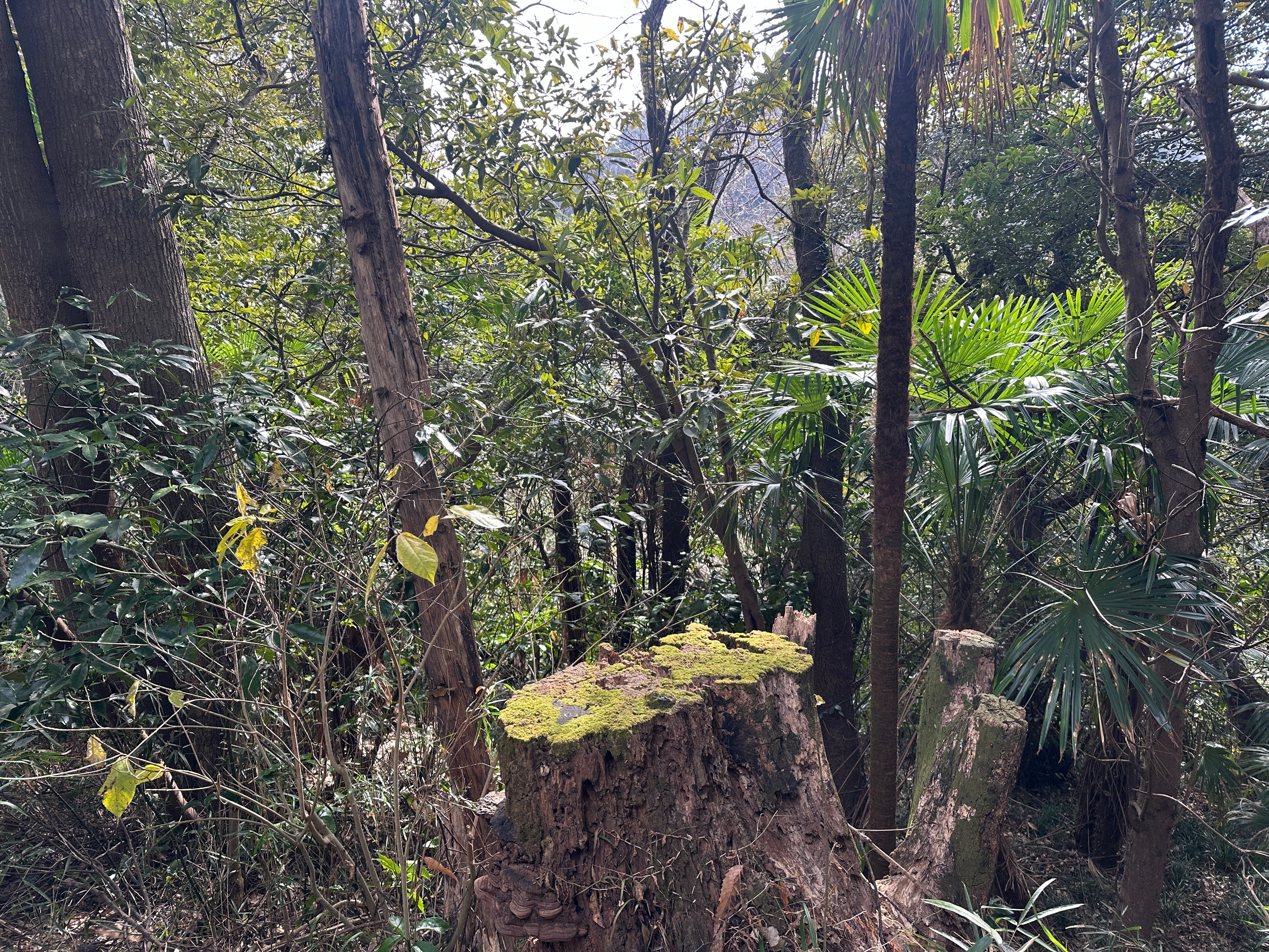
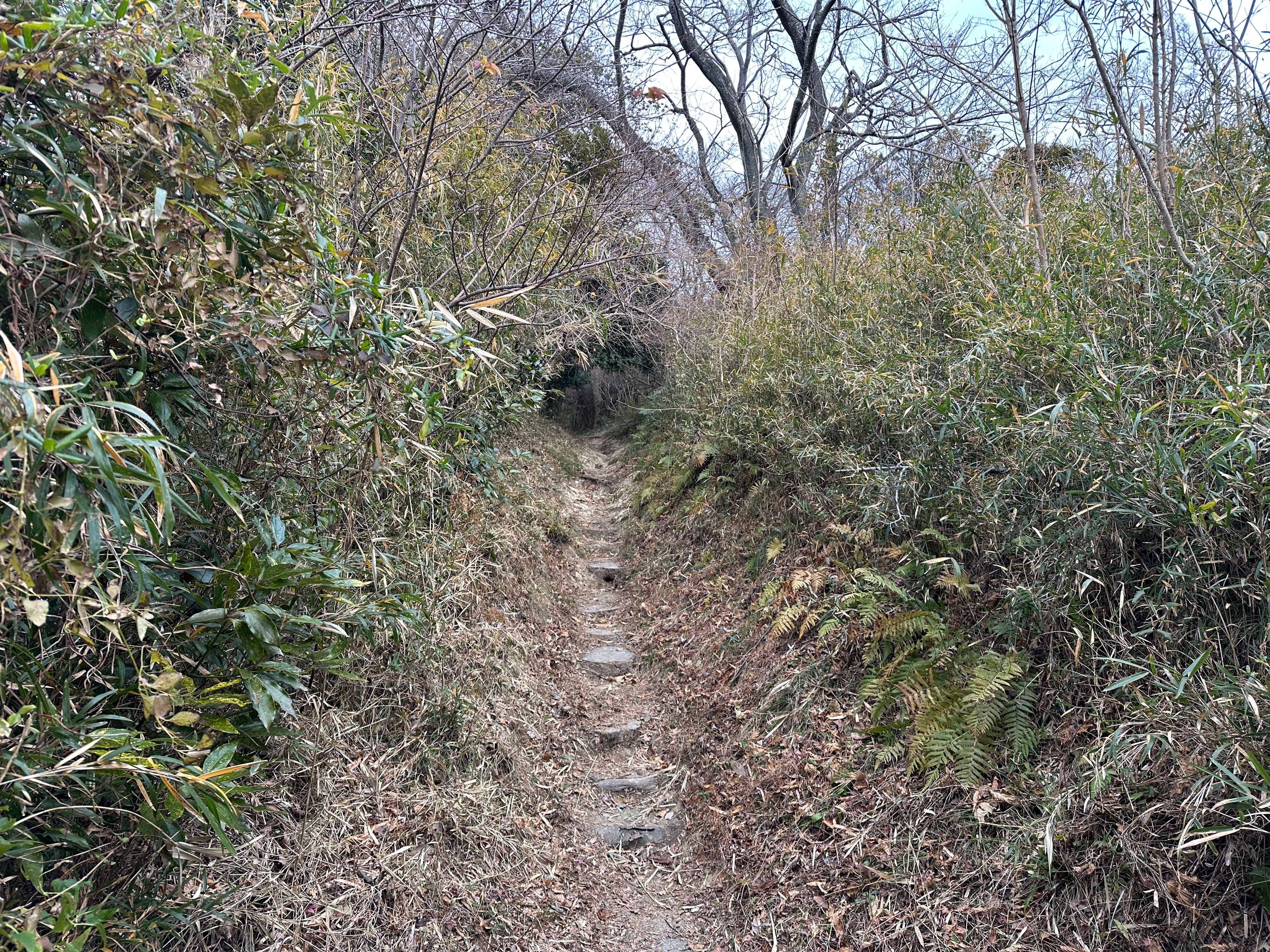
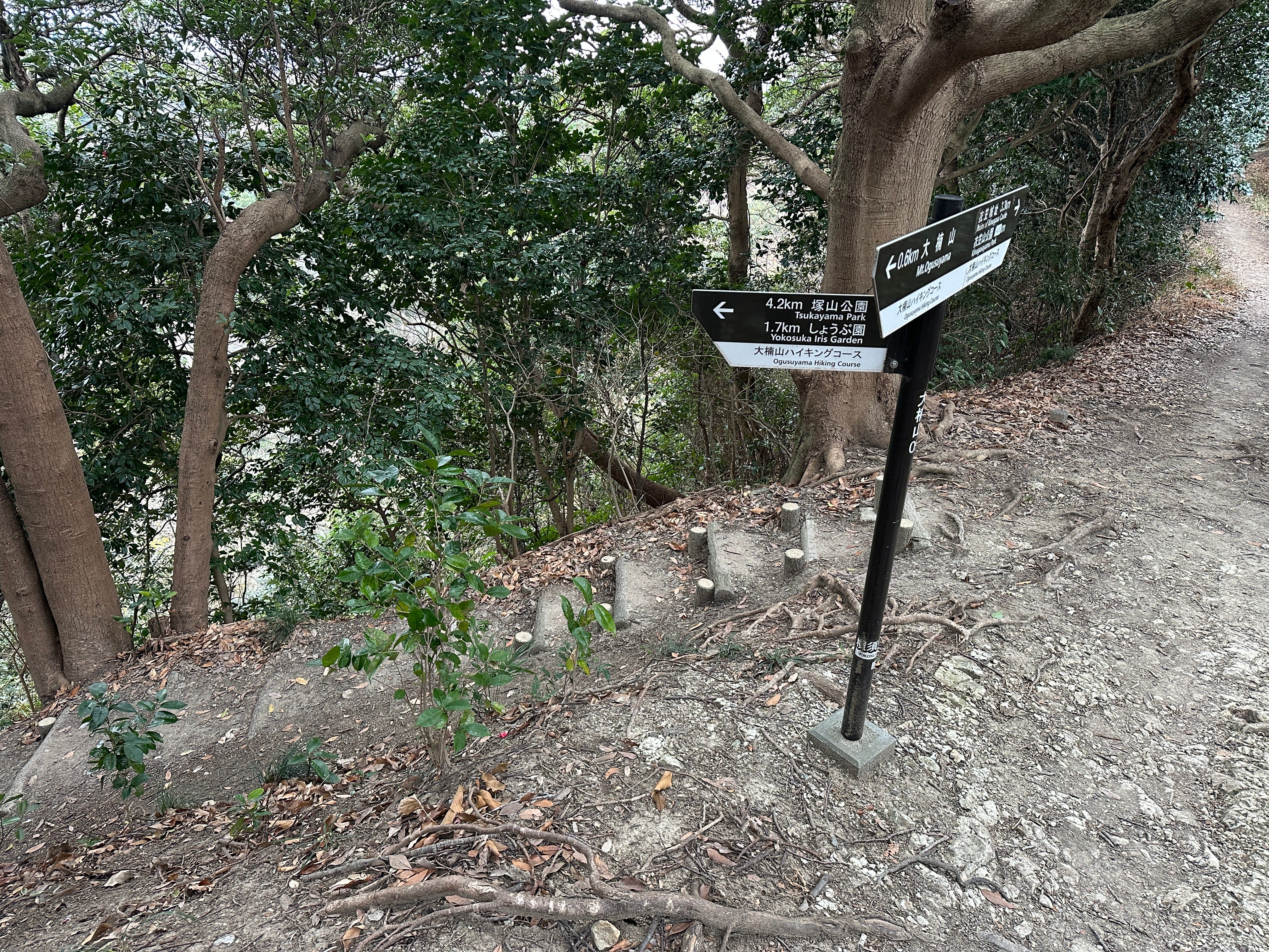
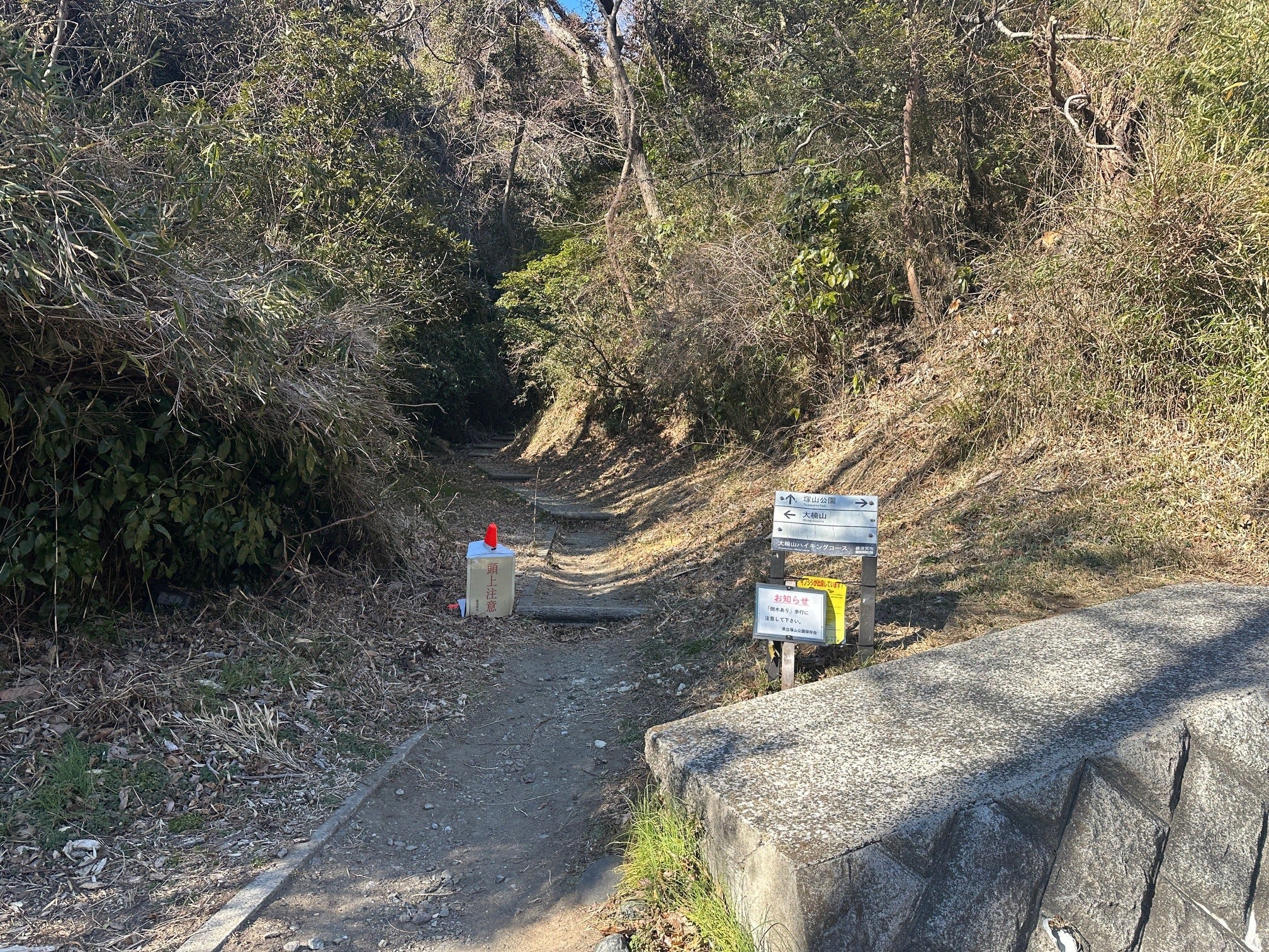
Next, I walk through the forest trying not to lose the track marked by occasional signs pointing to Tsukayama Park.
Tall pine trees and man-made “bridges”.


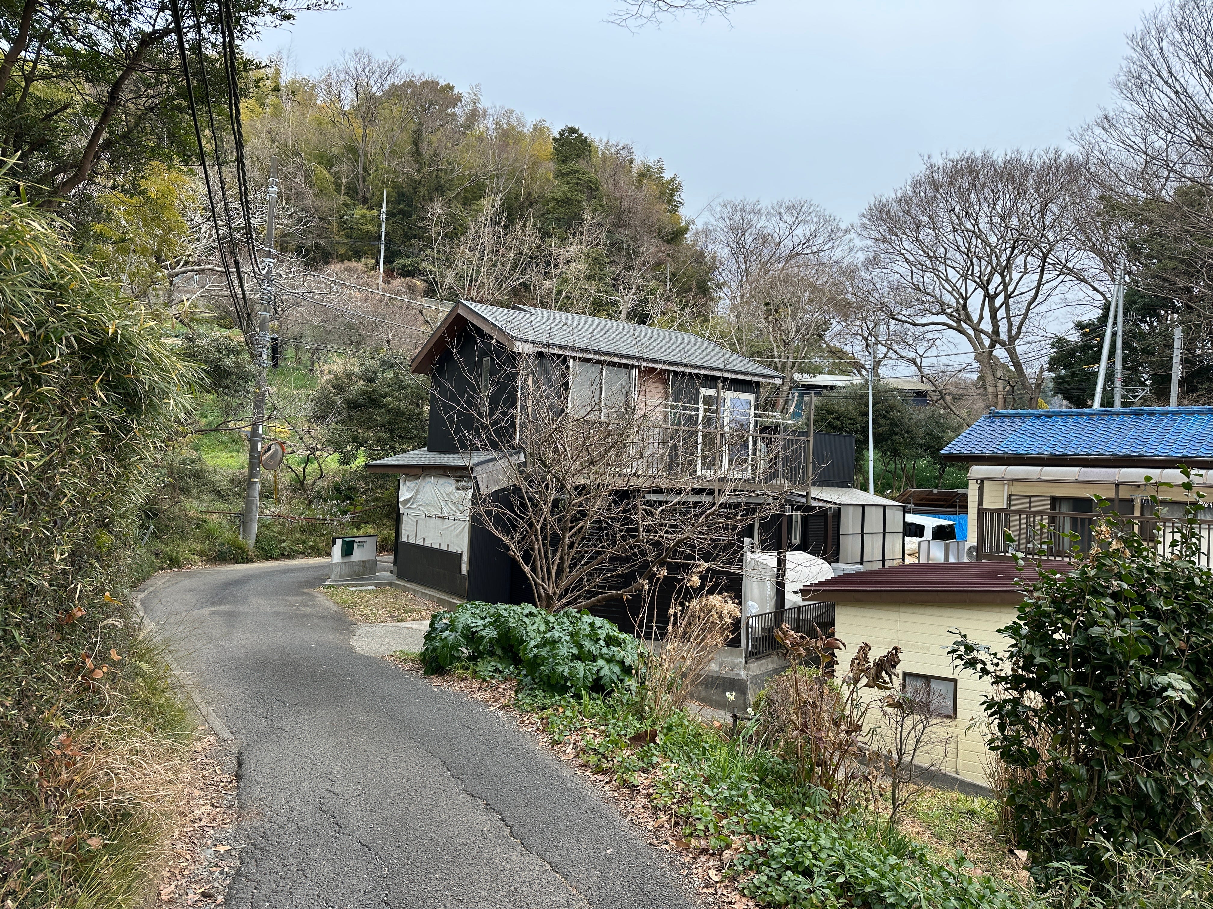
After a short underpass I turn left and enter Abekura village. Now starts what I call “semi-urban” walk which I enjoy also - mental prints of people life, small houses, temples, local routines - new for me. By the way, one golfer passing by told me that I can walk towards Tsukayama Park following nearby Shimoyama River via Honenji Temple and tennis court area. I will check next time.
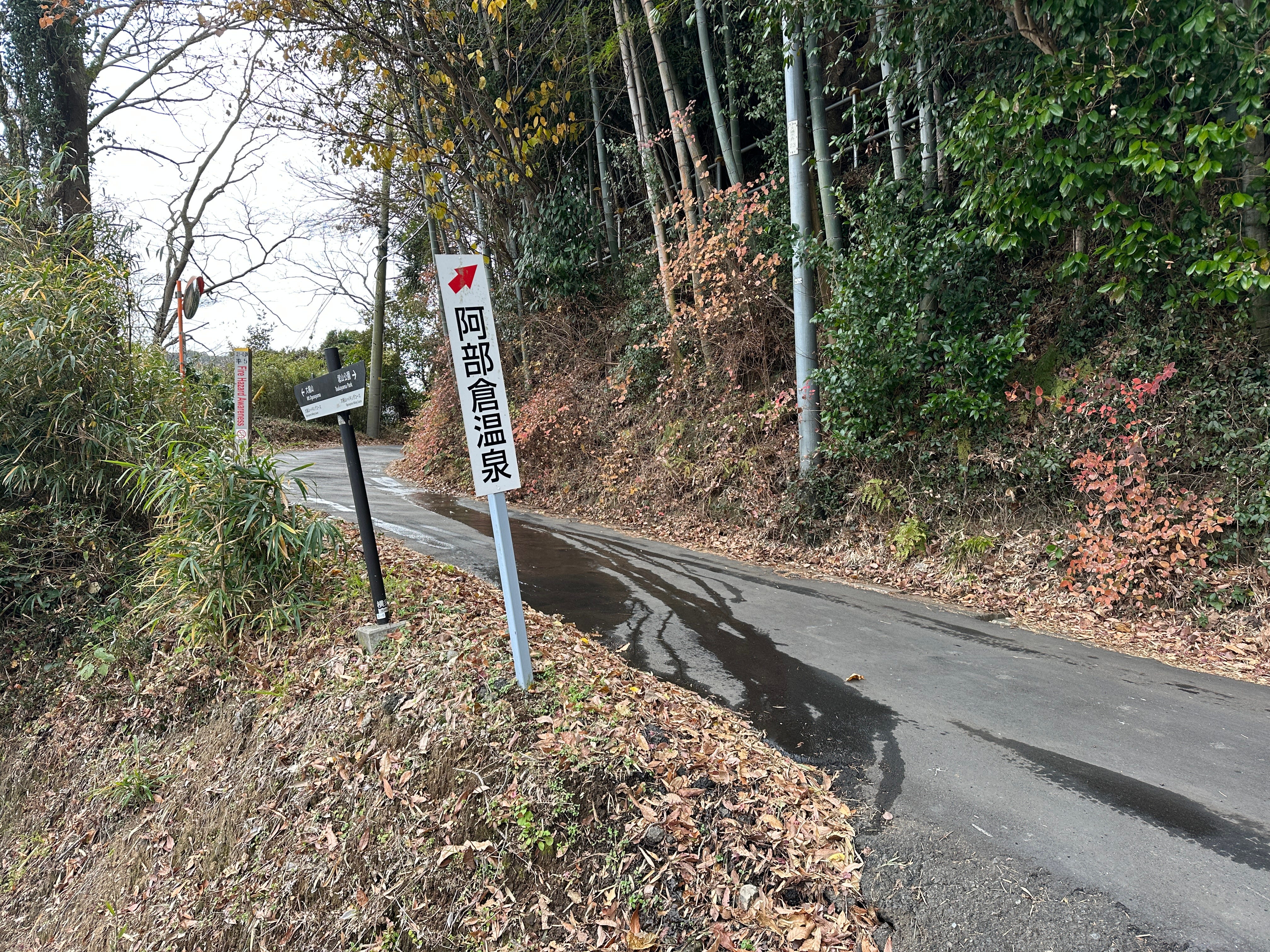
There is a sign pointing to Abekura Onsen. Again, something to experience later.
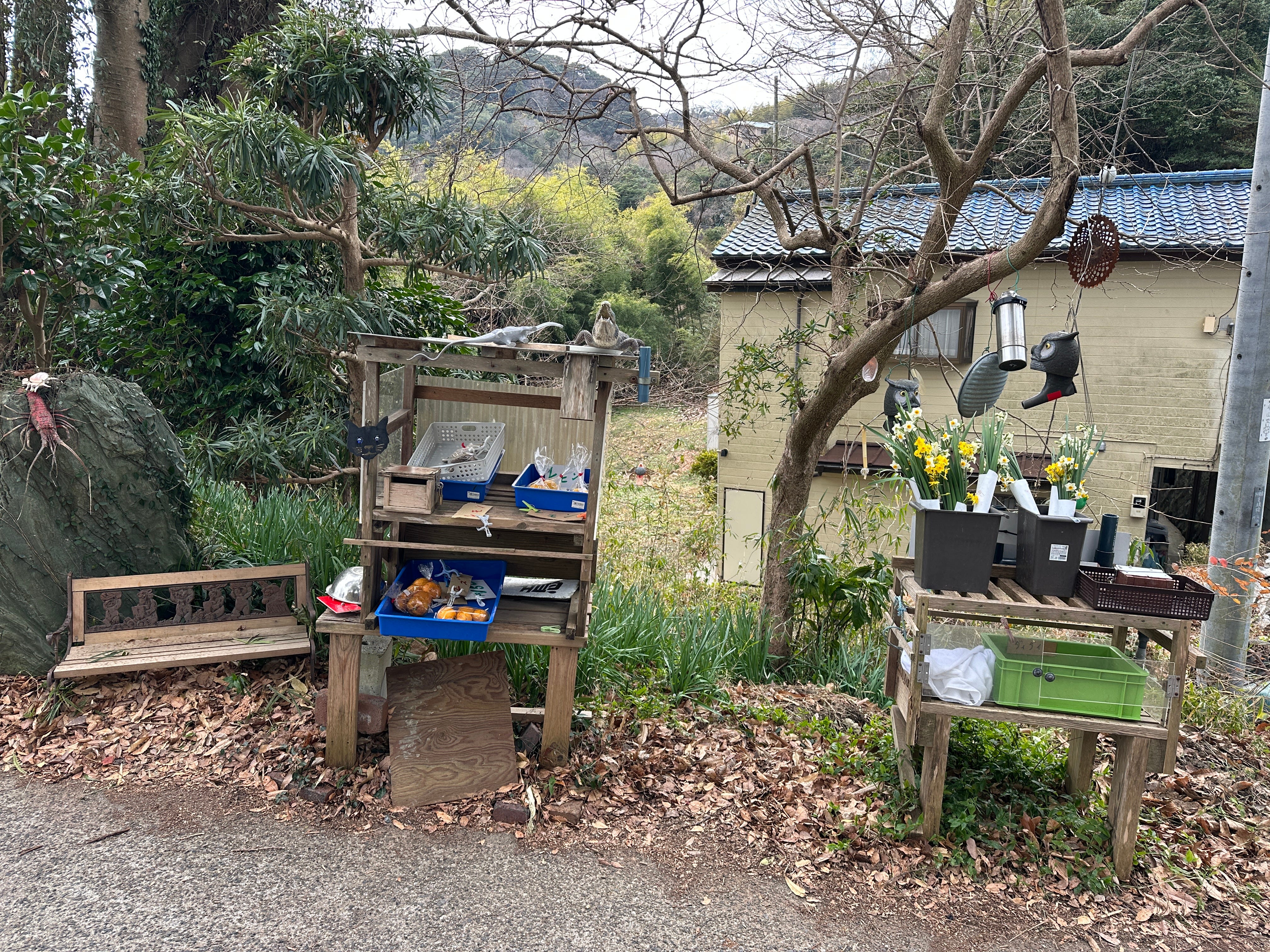
Small “supermarket”.
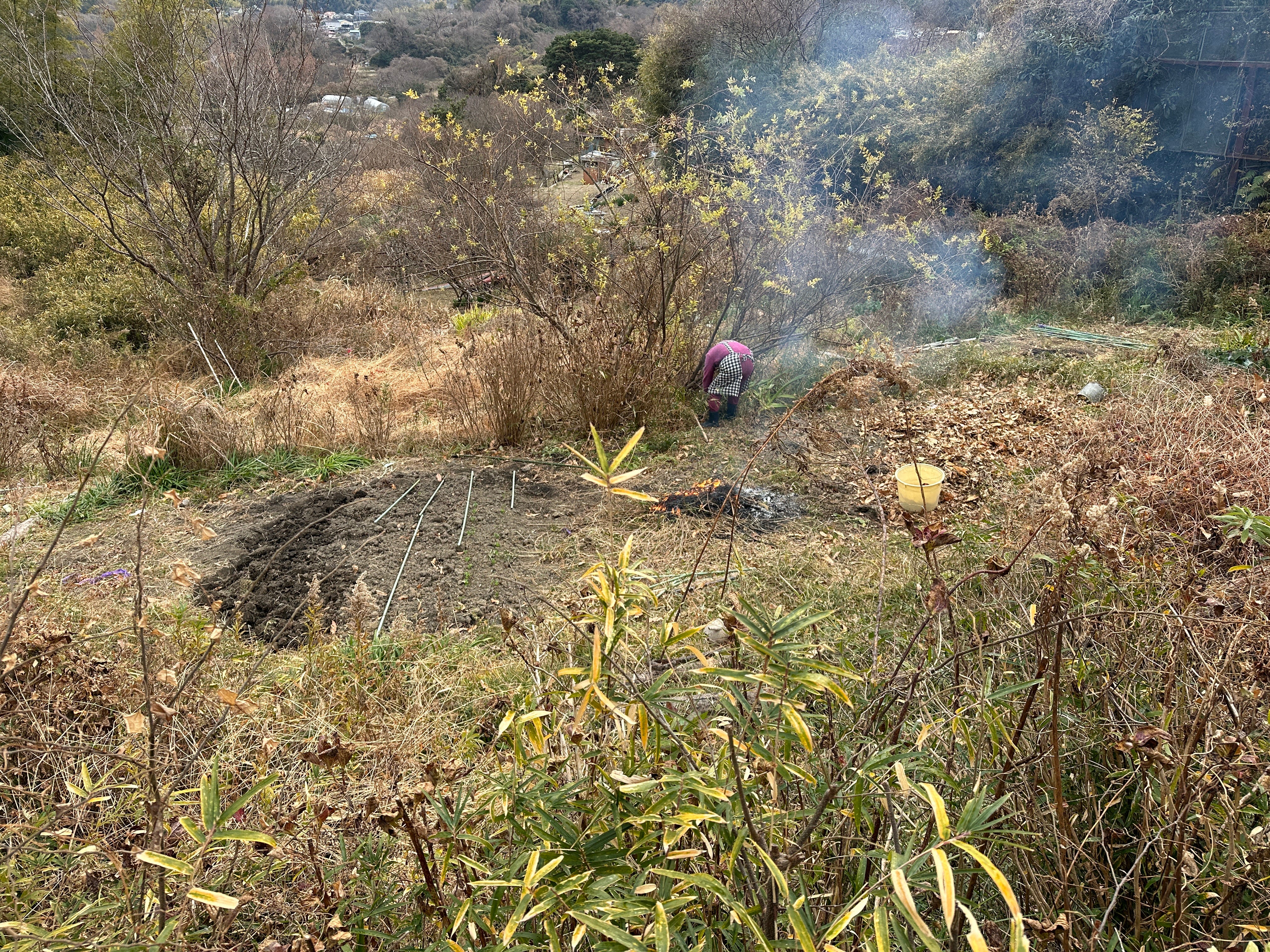
An elderly lady working her soil getting ready for the spring.
I turn left near the local council building, pass through the colorful kindergarten, then turn right onto the main road, route 27.


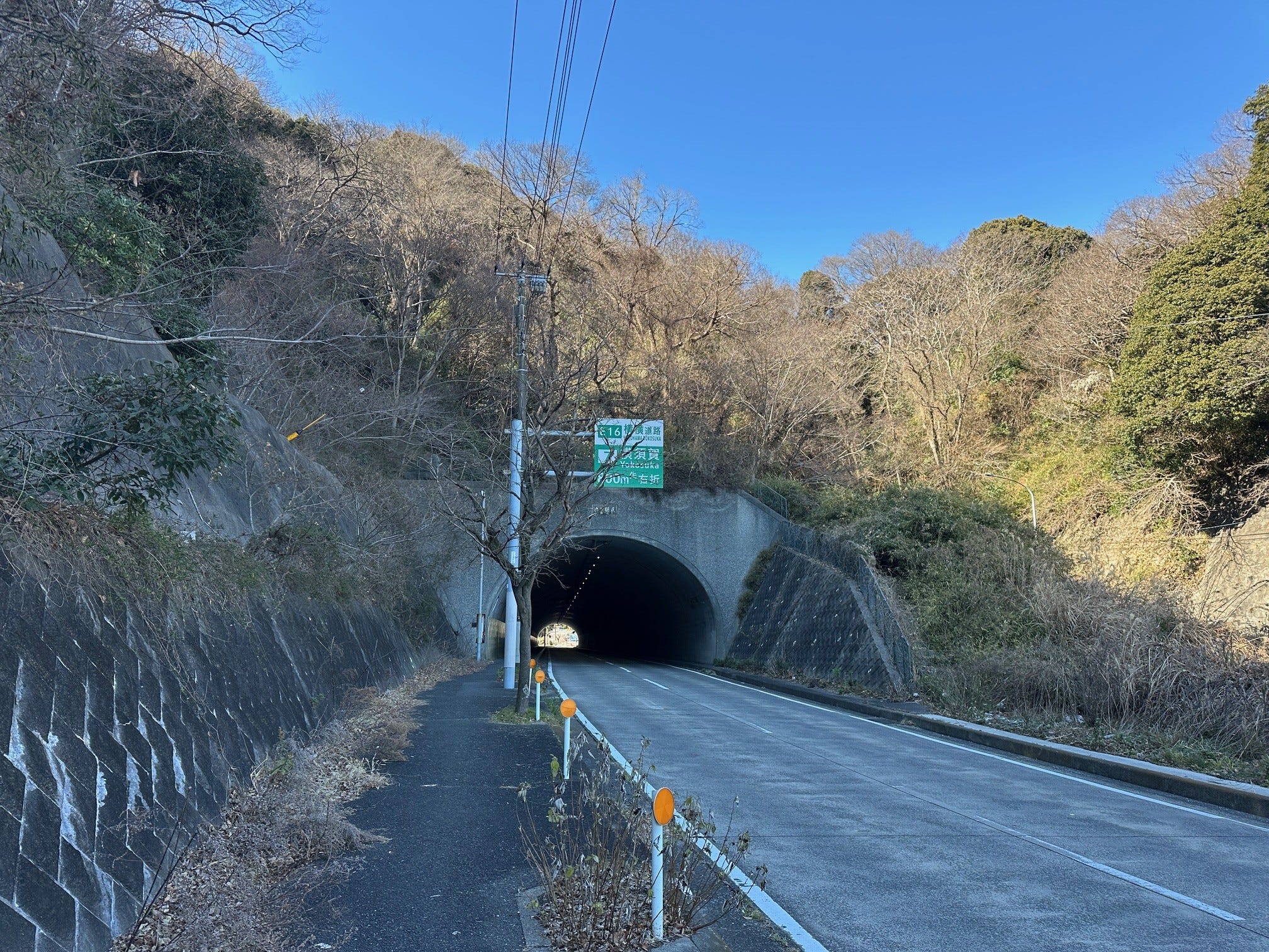
The feel is no longer rural, it is more of a big town. After Family Mart, I spot the hike sign again, and turn left towards Ikegami tunnel. I don’t like walking tunnels and there is another way to circumvent it, but it will add roughly another hour to the walk. So, tunnel it is.
I emerge from the tunnel and smell some nice cooking. American-themed Sunny Side Kitchen offers a variety of burgers, craft beers and onion soup. I went for the soup and resisted the urge for my favorite Sierra Nevada pale ale (yes, I am still not drinking, now into the 3rd month).


I leave the diner and walk straight towards the intersection. Now I am much closer to Tsukayama Park, but where is the sign? It is a bit tricky here, but basically after Sunny Kitchen you walk straight, then at the intersection turn left and you will see a sign inviting you to walk under the highway.


Still a bit in a doubt, but finally… relieved, a sign pointing to Tsukayama Park.
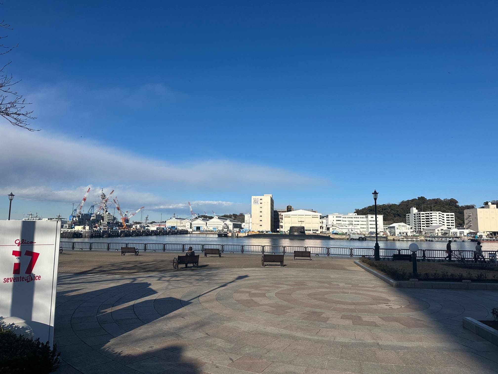
Here is one more of my favorite reading spots - Seaview Hill inside Tsukayama Park. Far ahead you can see Yokohama Bay Bridge, on the right are busy Yokosuka naval facilities, birds discussing good weather, and I rest.
In the park you can also find a grave of the English sailor William Adams (in Japan also known as “Miura Anjin, Lord of Hemi”) who became a diplomatic advisor to shogun Tokugawa Ieyasu (1543-1616). I wrote about him in my Yokosuka post last year.
I read, wander around the park a bit, then start to walk towards Hemi train station. There is a small shopping street there, the one with a feel of a small little town where many people know each other.
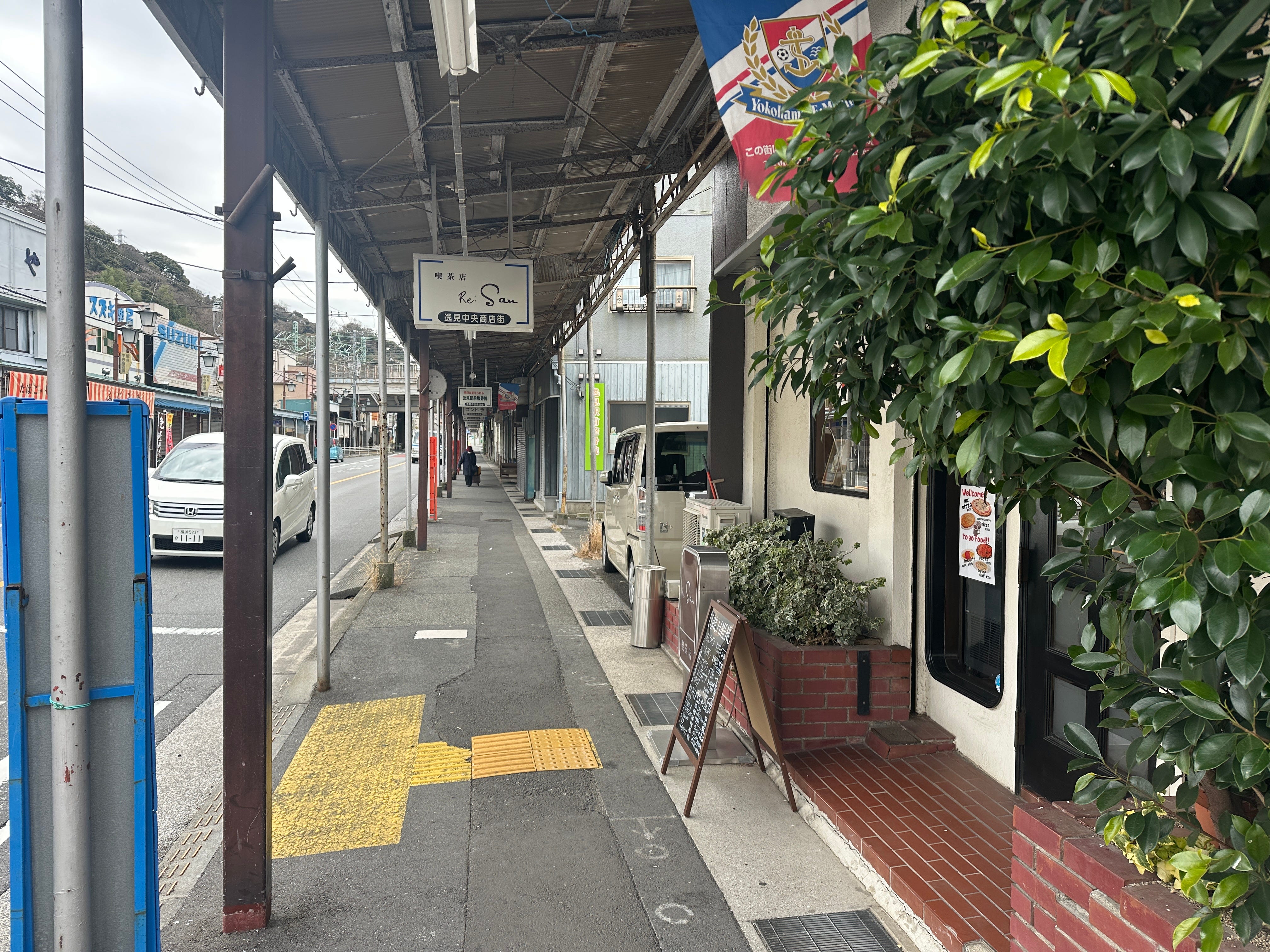
I like this small “old style” market where veggies and bargains are put outside with ready snacks lined up inside the store.


From Hemi station is it very close to Verny Park in Yokosuka.
I once did a variation of the walk, instead of Verny Park walking in the opposite direction, towards the suburb of Kinugasa.
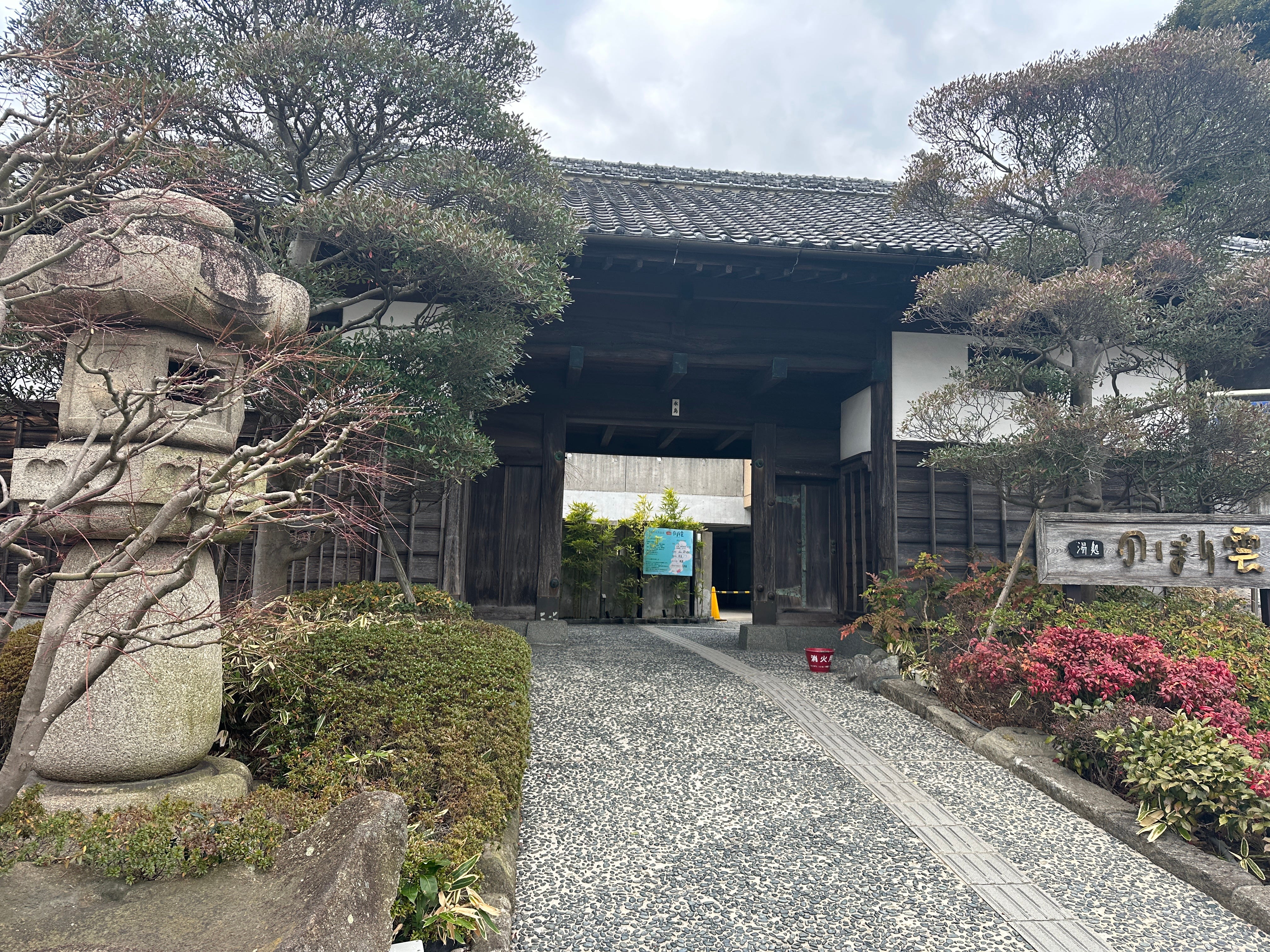
Here there is a natural onsen called “Noborigumo” - “Climbing Cloud”. It has a few outdoor baths facing some greenery and a sauna. Any time I am in the area I try to visit its calm interior - mostly locals I guess (never seen any foreigner), few conversations, every person sticking to their own routine - a real piece of Japan.
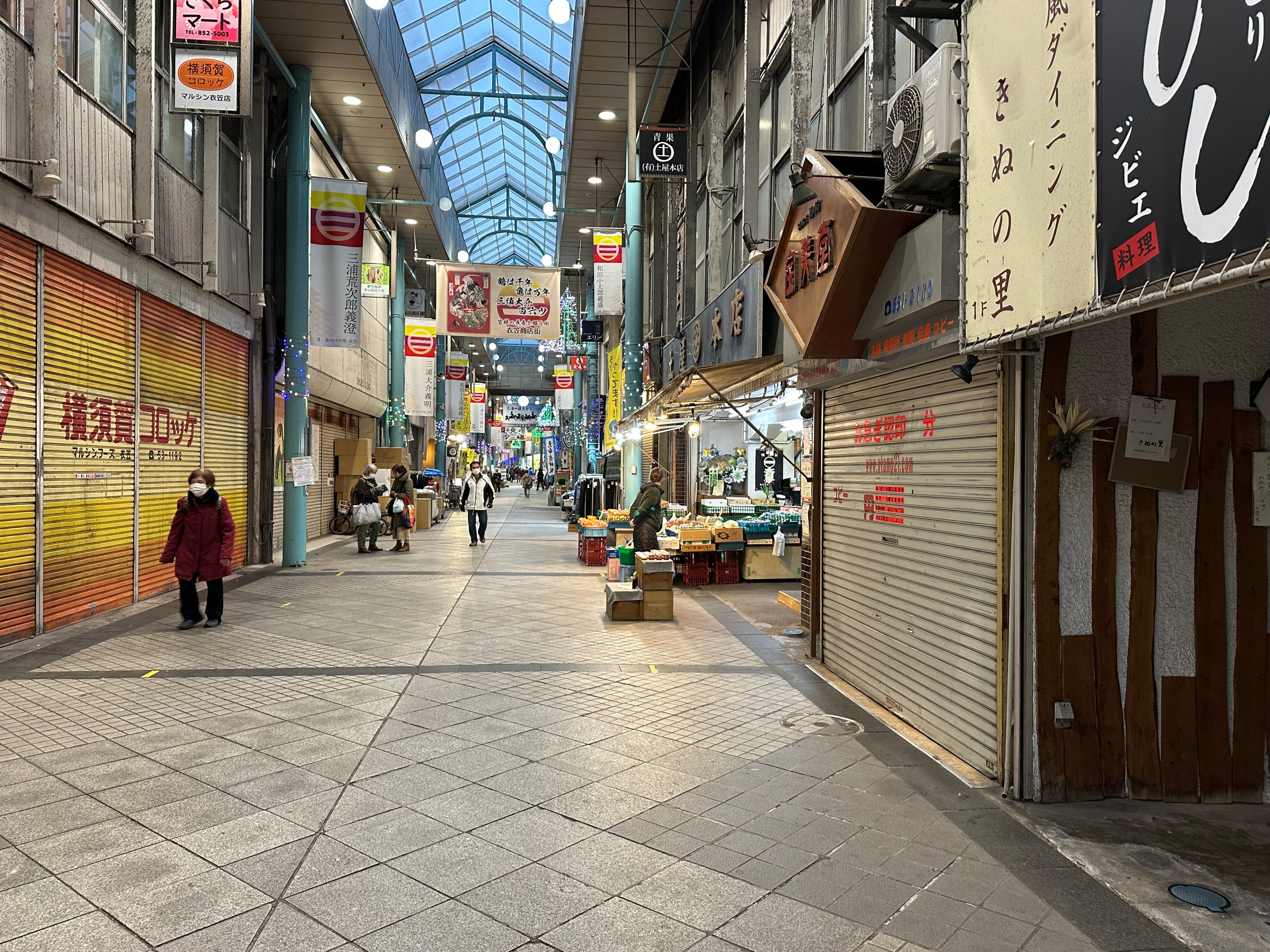
Bathing done I walk to Kinugasa station. Nearby there is another “shotengai” on a larger scale, often half empty, but nevertheless interesting.
The day comes to an end, on a train back home I am relaxed, my thoughts are indeed clear, I am sure I will sleep well.
Thanks for the vicarious walk, Igor. I'd like to try that onion soup.