

C2C walk Singapore. Luxus Hills Park to Coney Island. November 2024.
Humid and hot, but doable.

I love street wandering and hiking in Singapore. The hiking trails are well marked and maintained, new routes are constantly added - all this in a compact city where should you get tired, within a few minutes you can return back to your lazy urban routine. Interestingly, with the same temperature and humidity I can cope with Singapore hot and humid weather much easier than with Tokyo summers. A puzzle…May be because curiosity being in a new place (Singapore) overpowers the climate hurdles?
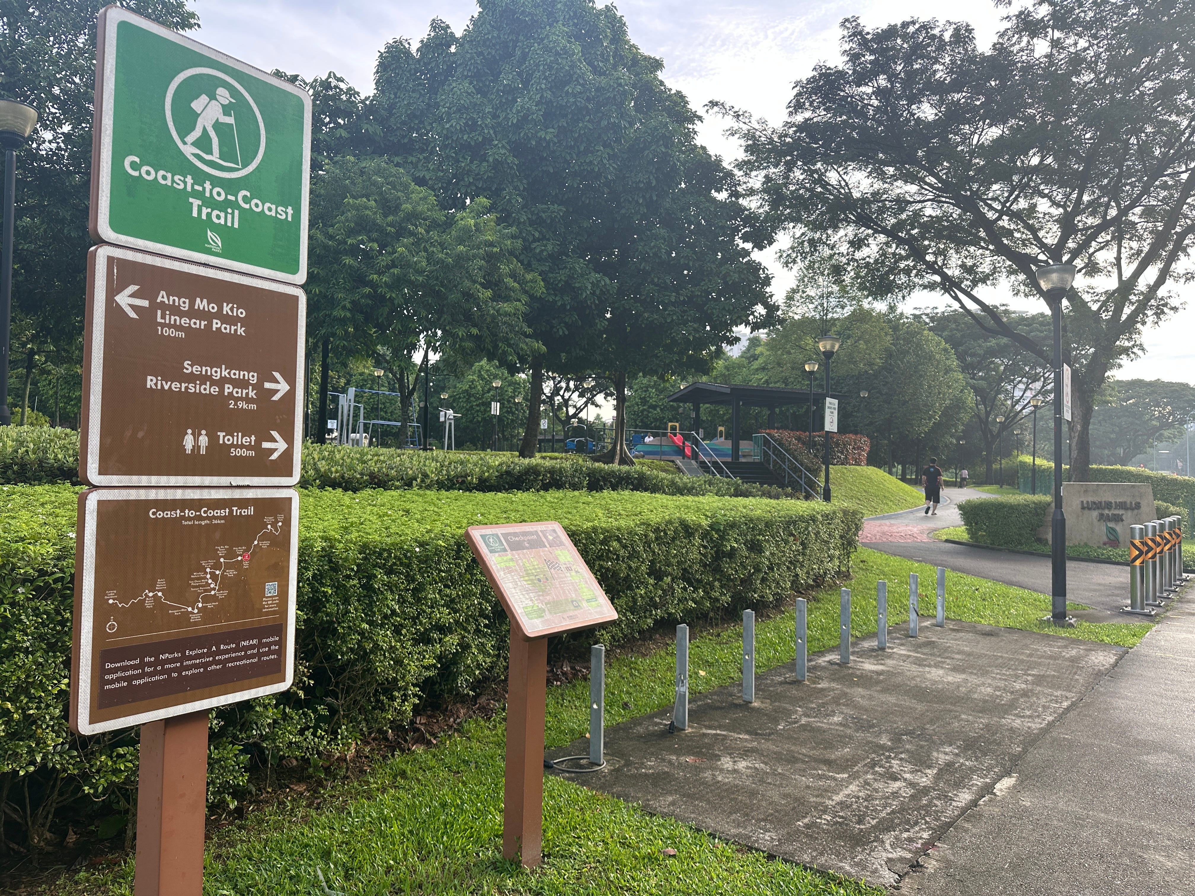
Recently I discovered a relatively new track in Singapore called C2C, Coast to Coast Walk. There are three parts within the walk.
Central trail: Jurong to Punggol (36km)
Northern trail: Sungei Buloh Wetland Reserve to Khatib Bongsu Nature Park (25km)
Southern trail: Tuas to Changi Beach Park (62km)
At the time of the writing only Central track was open for hiking (the other two are likely to open in 2026). The Central C2C walk runs across the city-state from East Jurong on the west to Coney Island Park on the northeast.
Only lazy have not described this walk yet, so my notes will be just a pure log of impressions covering the best part of the walk which is from Luxus Hills Park to Coney Island.

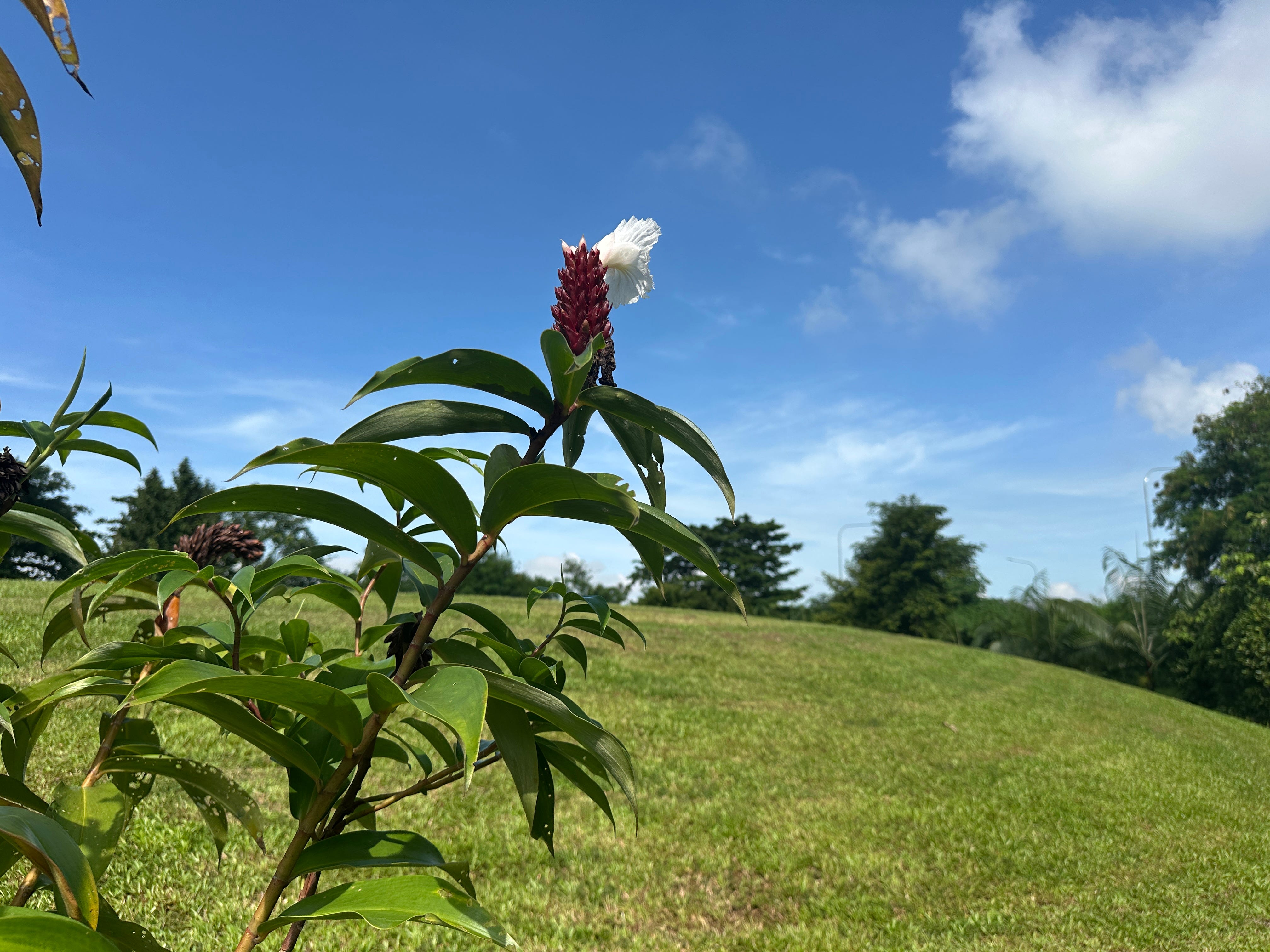
I arrived at Ang Mo Kio MRT station and then took a bus to Luxus Hills Park. A promising morning ahead.
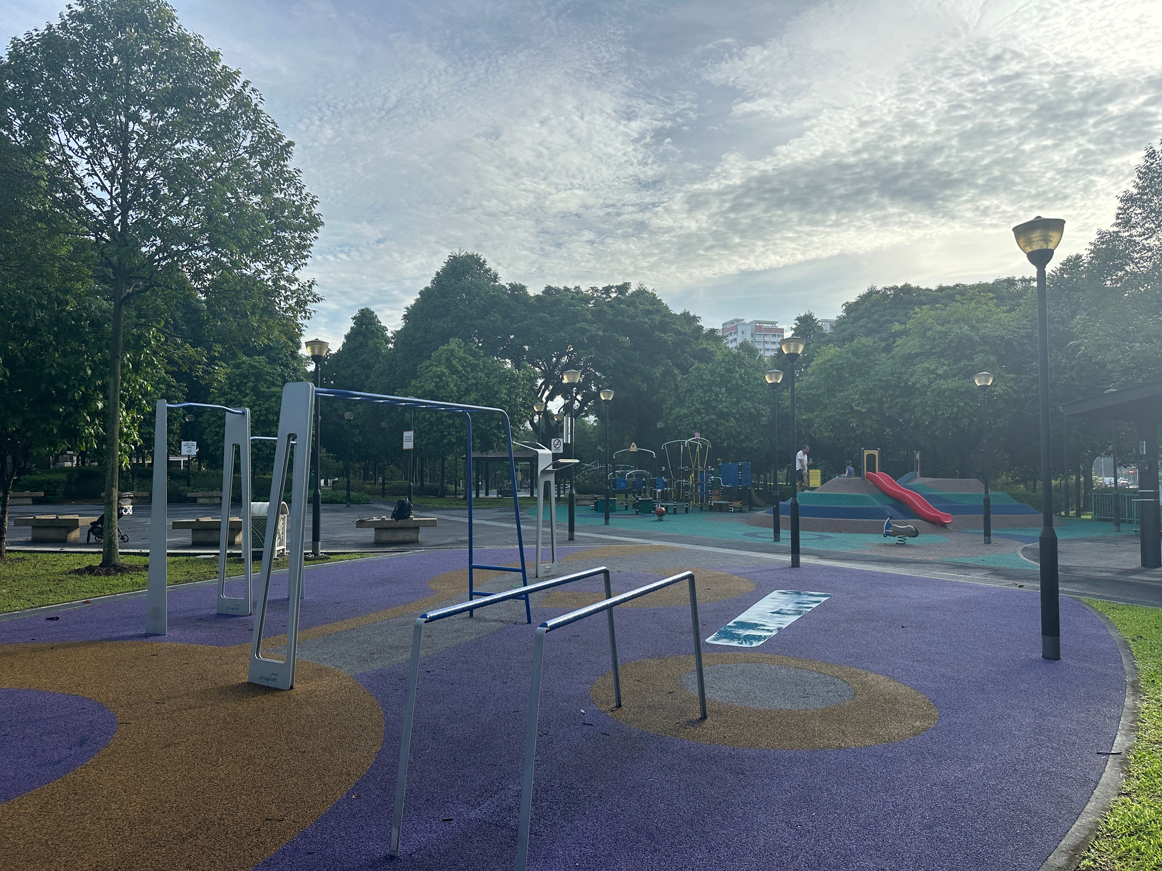
So, let’s do a few chin-ups.
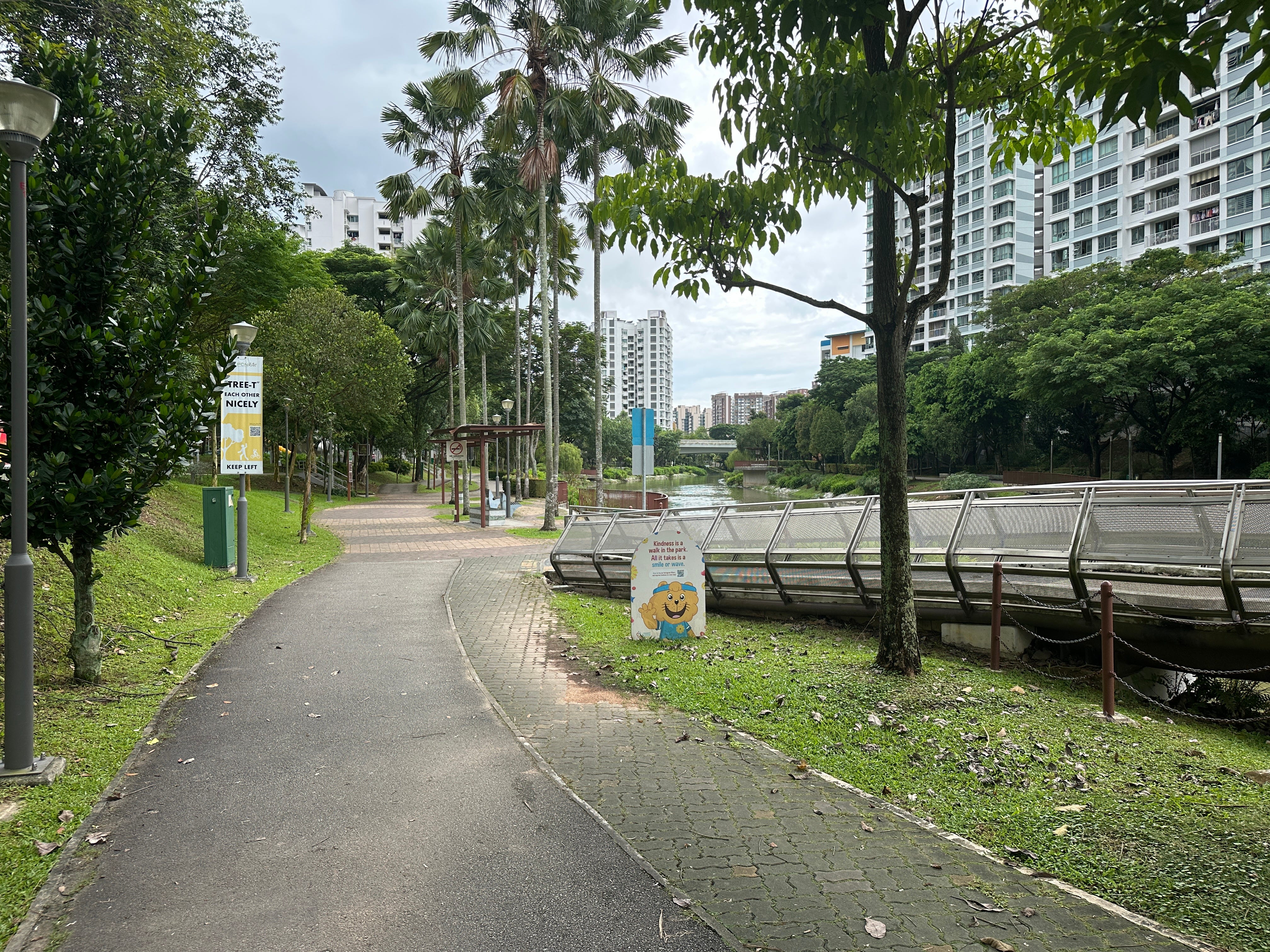
Then off to Punggol River. Actually, this part of the trail is mostly running along the Punggol River. A few hikers, cyclists and runners.


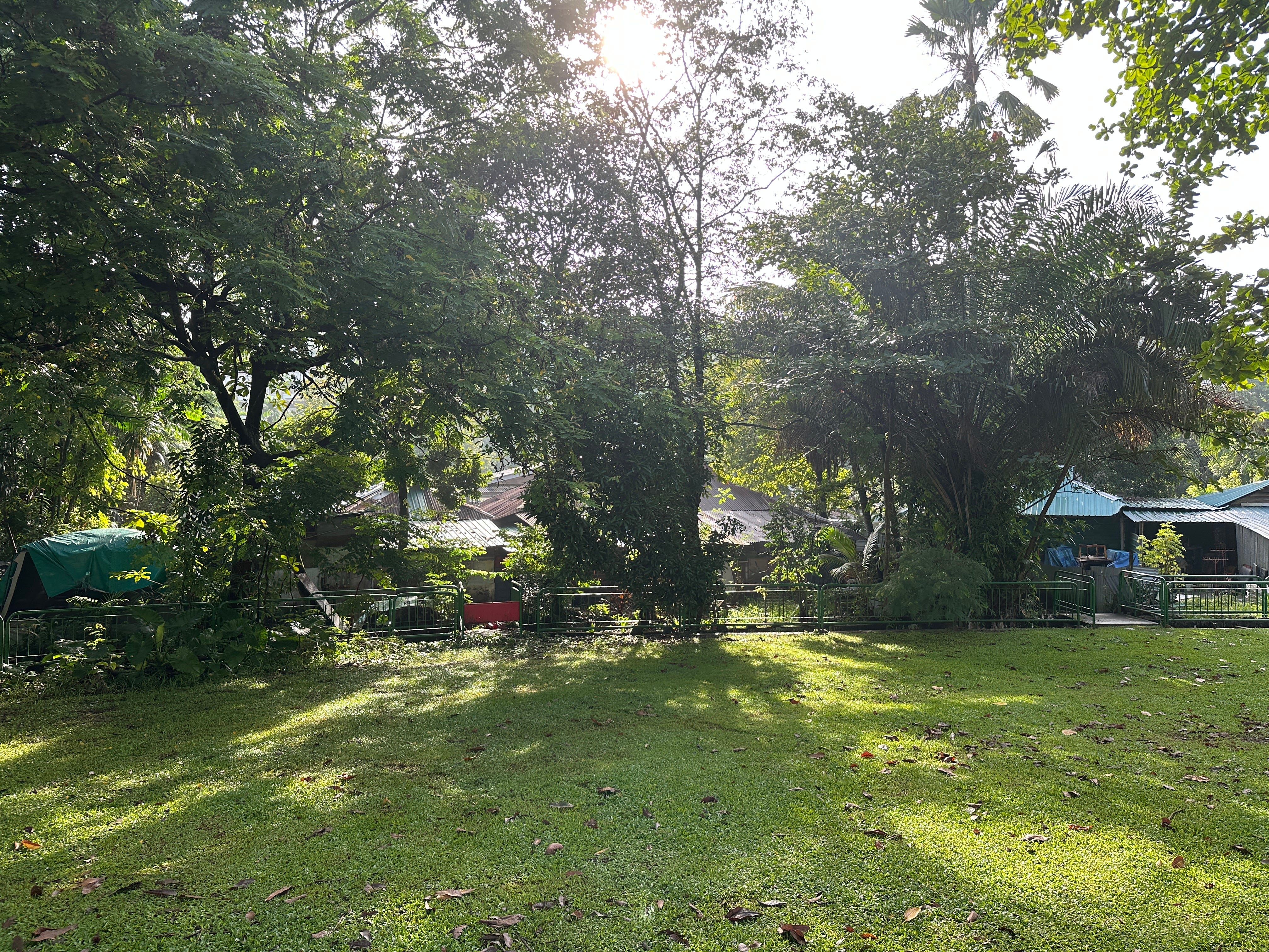
On the way you can find the last surviving kampong (traditional Malay-style close community village) in mainland Singapore, Kampong Lorong Buangkok. The other one, which is on the island, is Pulau Ubin (see later). It is not a tourist attraction, so the signs tell you to mind your business, but you can catch a glimpse.
A few animals closer to Sengkang Riverside Park, wildlife is everywhere in Singapore.


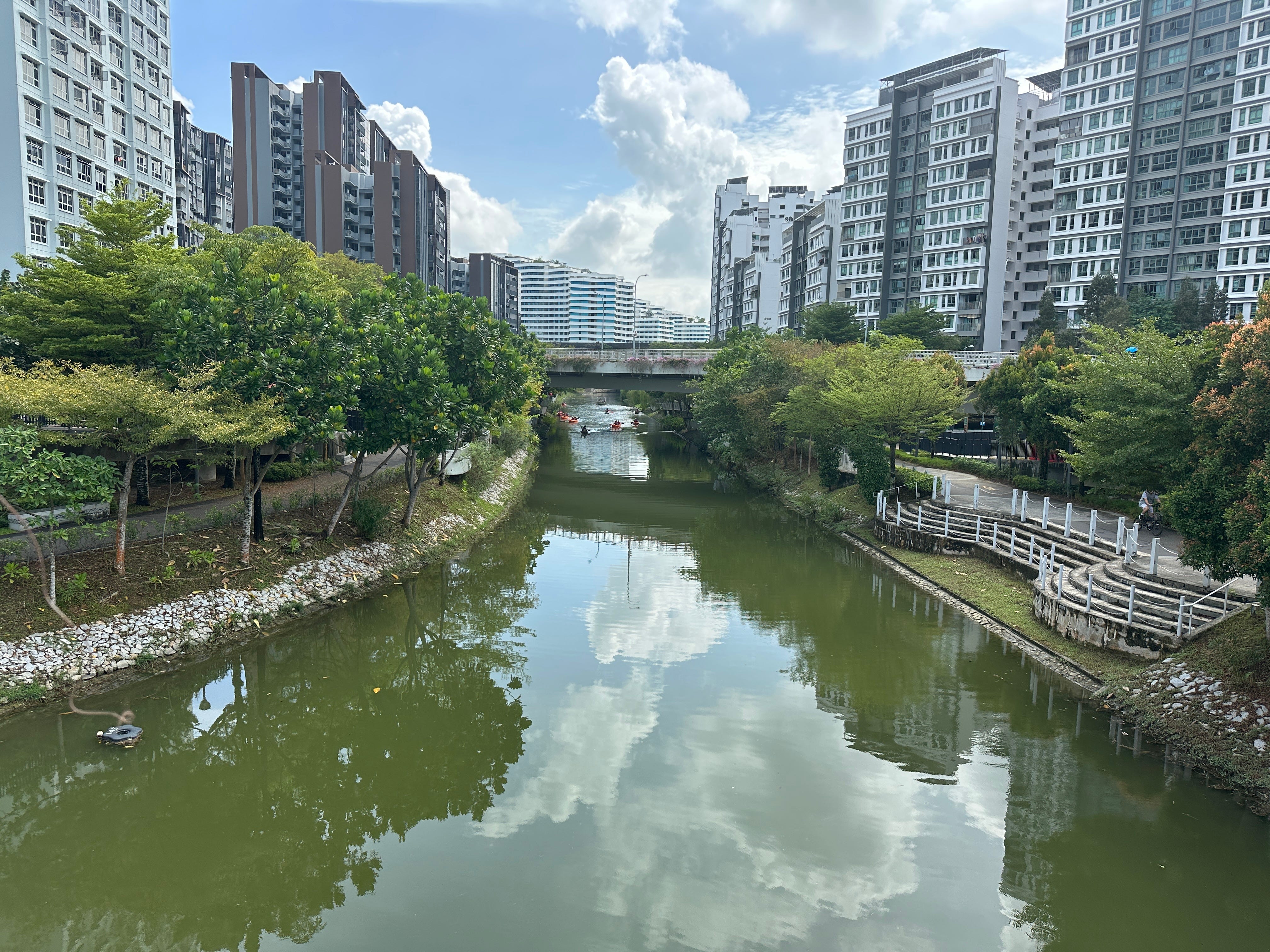
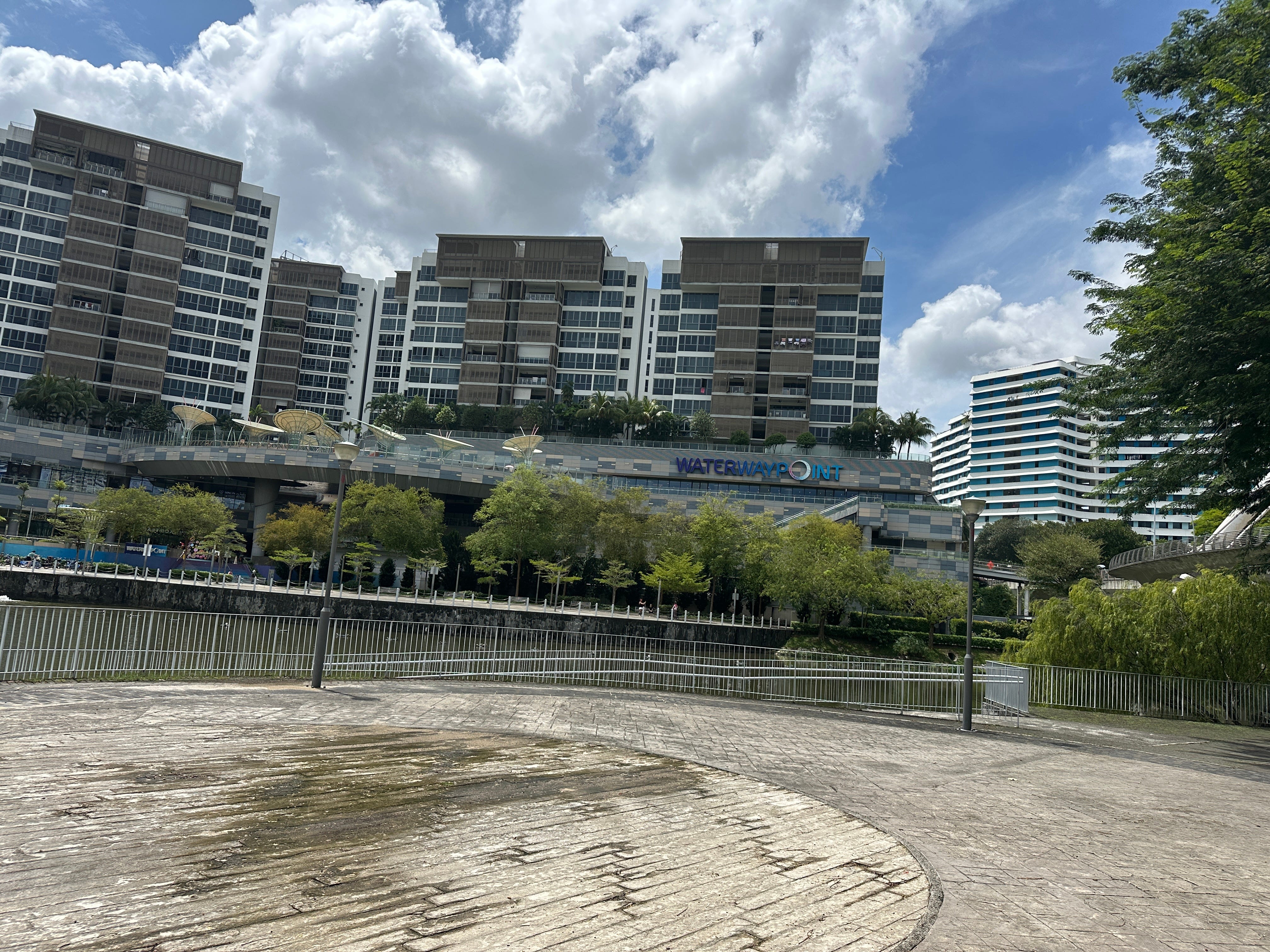
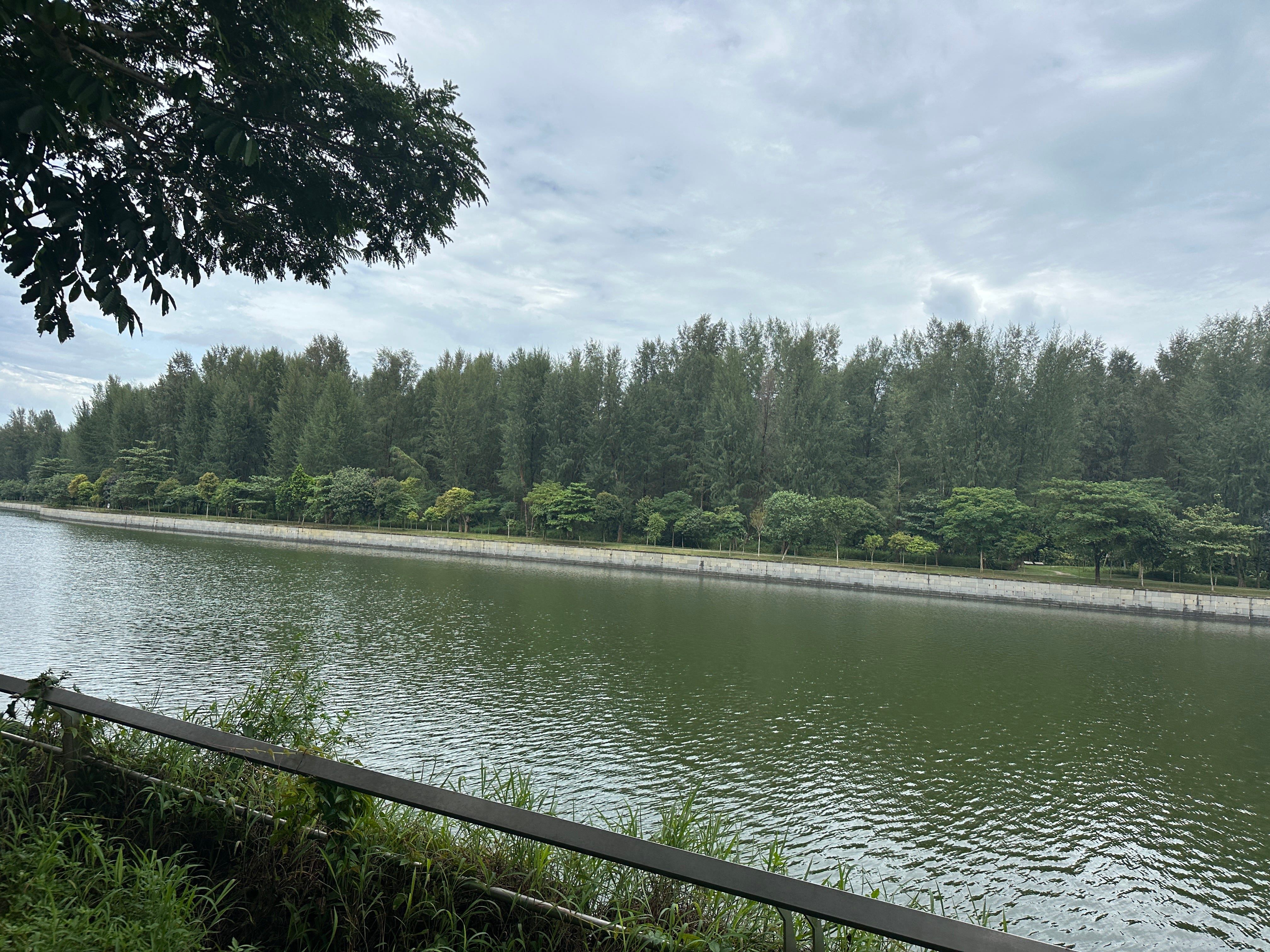
In around two hours I reach Jewel Bridge, where the Punggol Waterway (PWW) starts. The Waterway received multiple awards and at 4.2 km long is the longest Singapore man-made river. It is a very pleasant area to stroll around and unsurprisingly this hub of water sports and recreational activities is home to a very sought-after real estate.
Such housing concentration demands equally large retail operation which is run from gigantic Waterway Point.
Continuing my observations- the water in the PWW is not as yellow as in the main Punggol River.

Feels really cozy.
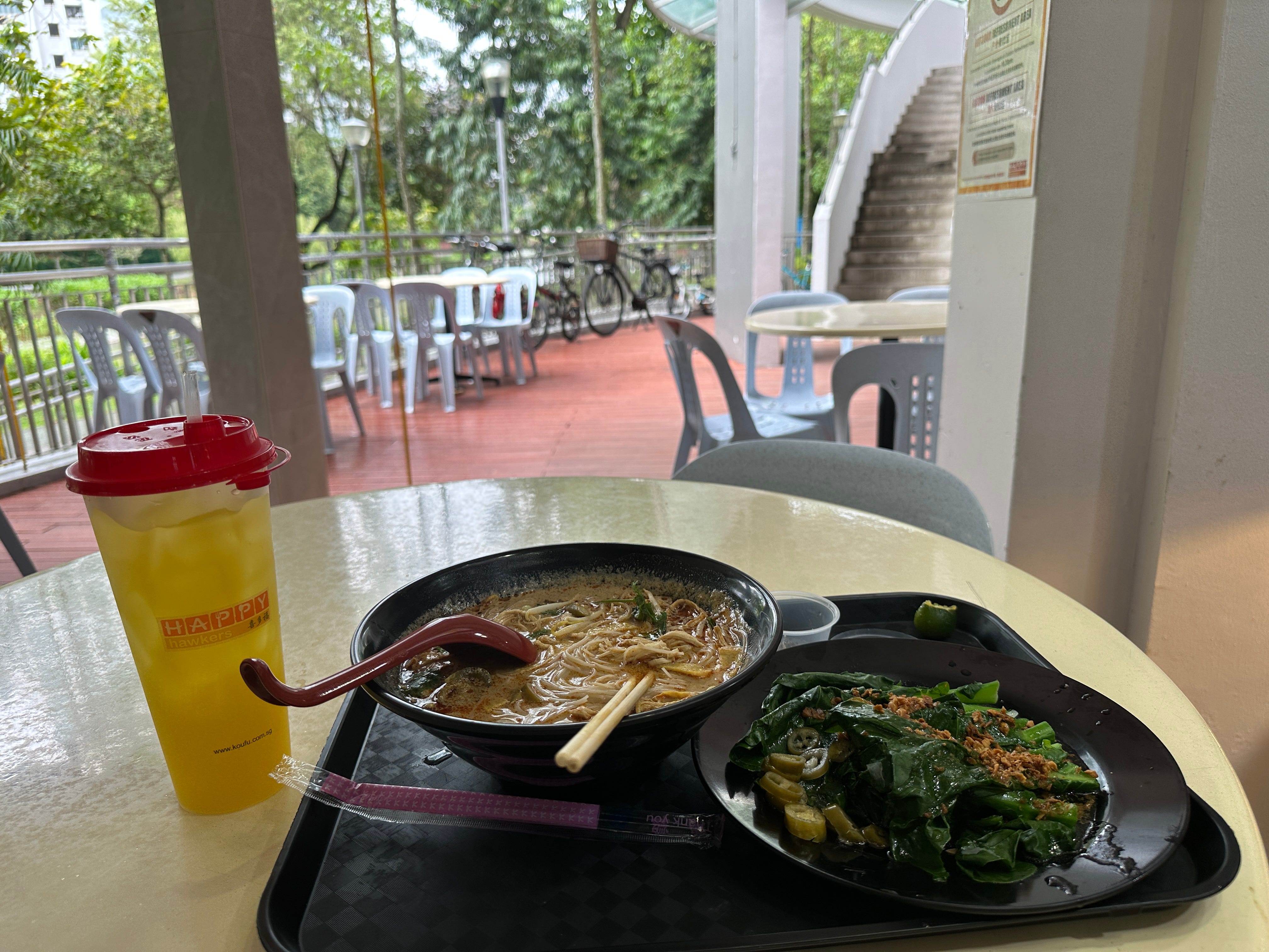
The serenity grows further inside Happy Hawkers Cafe.
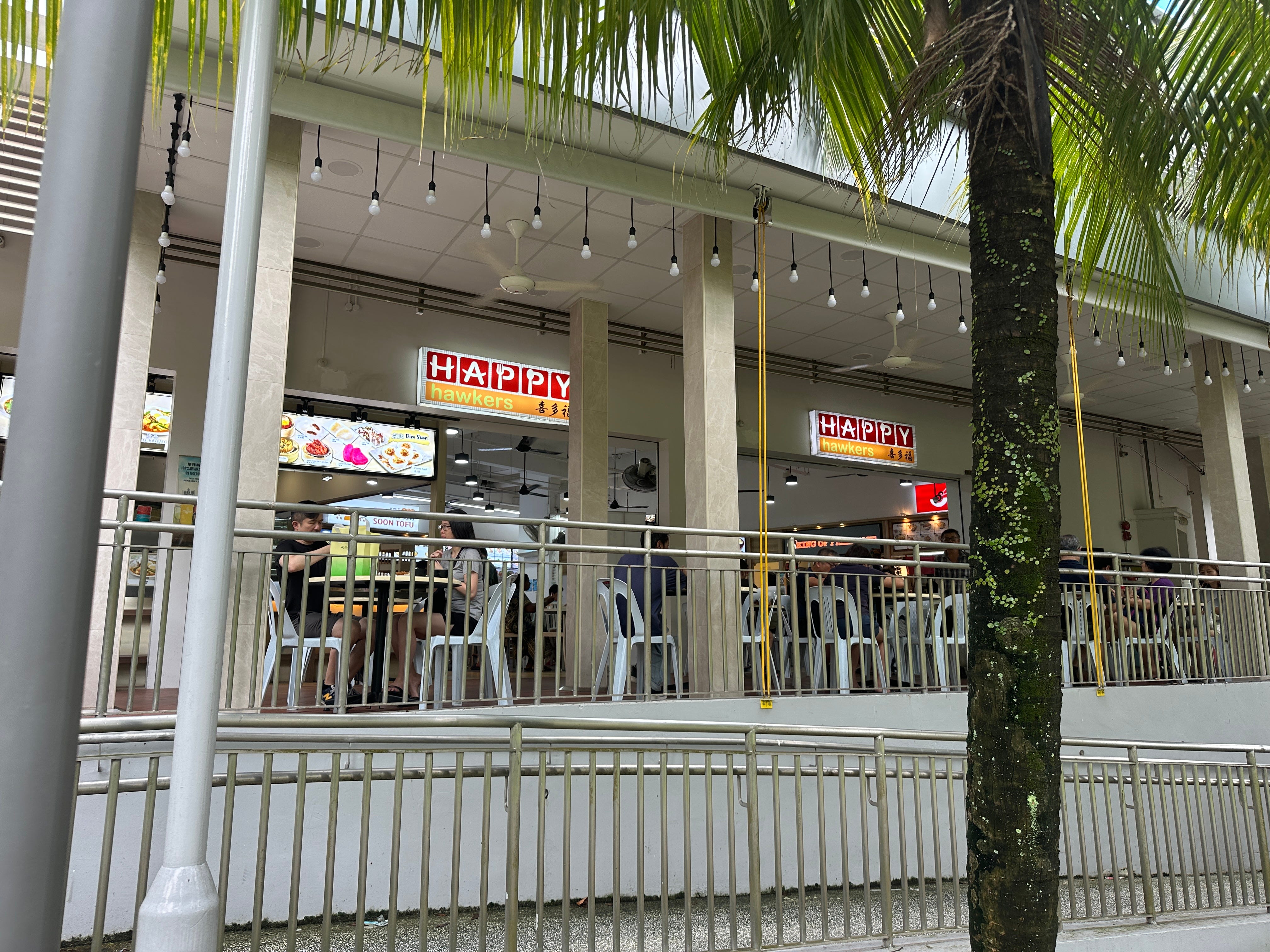
With a nice laksa. And some greens.
I am now on my last lap to Coney Island, no longer walking alone, but having a guide in front.
Interesting creatures, those monitor lizards. They can grow up to 3 m and occasionally walk into the flats.
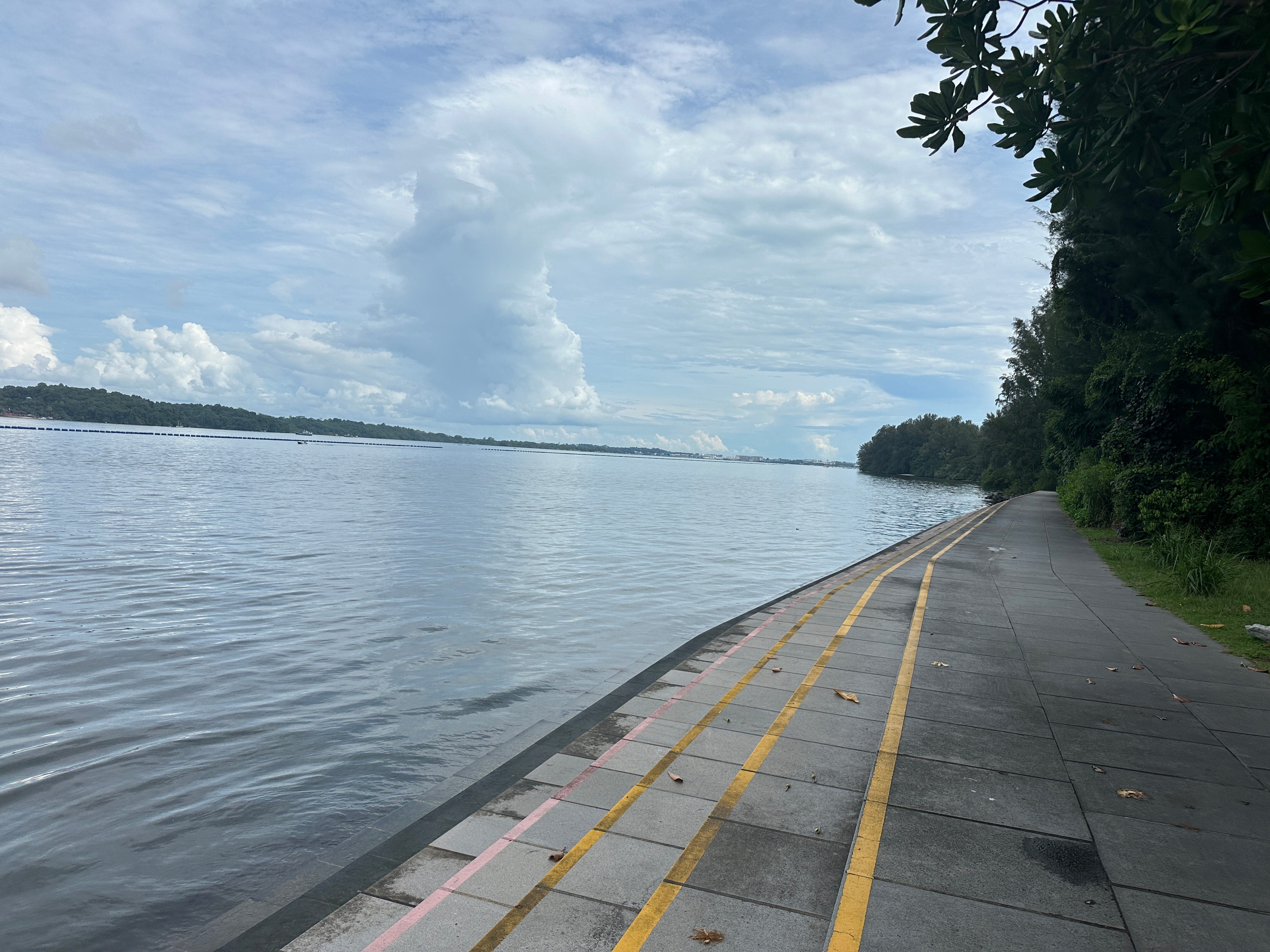
OK, ahead is Coney Island. Why the name?
One of its previous owners, an Indian businessman who bought the island in 1950, wanted to turn the island into a large resort naming it after Coney Island amusement park in New York. It did not happen. Which is good. Now it is just a pleasant green oasis from where you can see Pulau Ubin, another small island which I will visit next time. As mentioned earlier, Pulau Ubin houses another Singapore kampong.
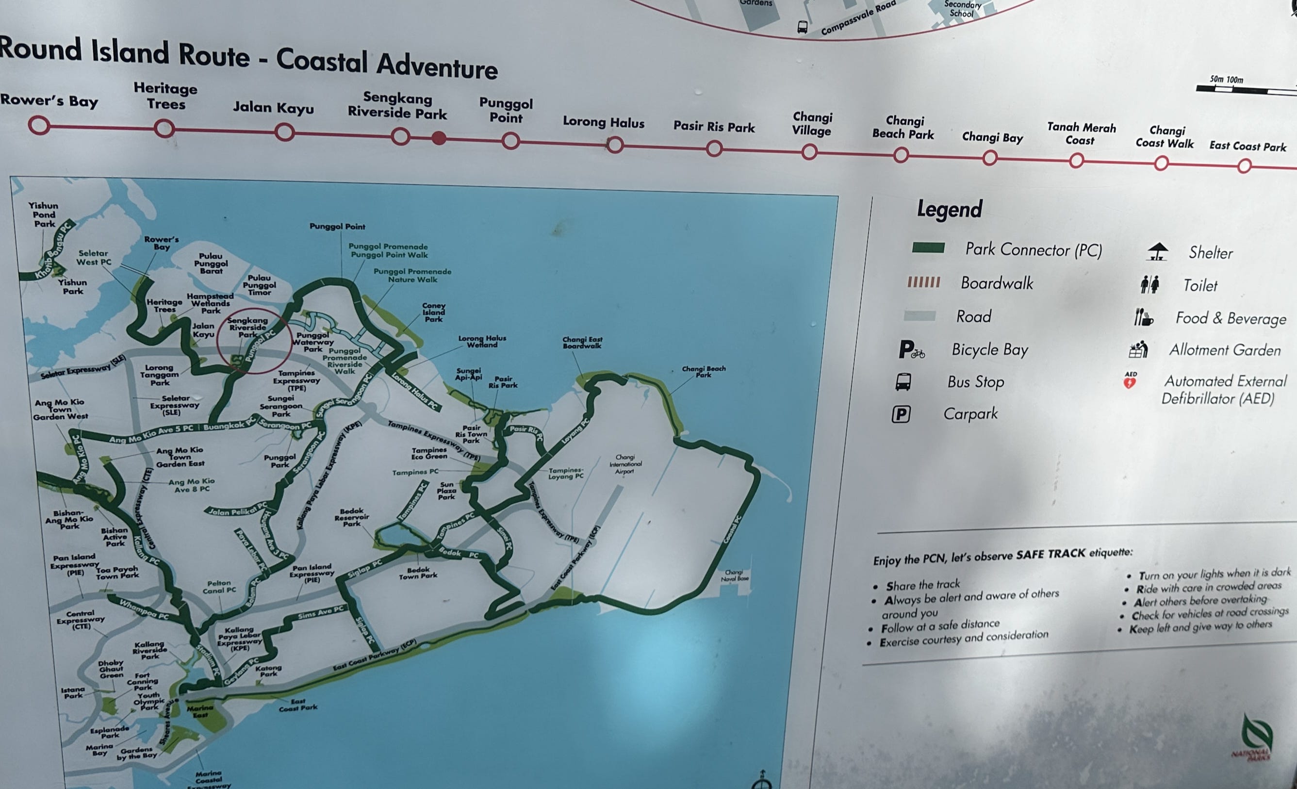
Nearly done. As they say, the appetite comes with eating. On the way I spot a map showing a few more routes around Singapore. So, next time I will try to do the “coastal adventure” as the map below suggests. From Rower’s Bay to Changi Village, then East Coast Park and ending at Gardens by the Bay, nearly rounding the island. We shall see…
Stay tuned.
Yours in walking.
You have almost made me feel like visiting Singapore.