

Hokkaido. Wakkanai. August 2024. Part 1. Onuma Lake and Cape Soya.
It is really one "cold river valley" today. Wakkanai digested.

Part 2 is here.
Wakkanai snapshot.
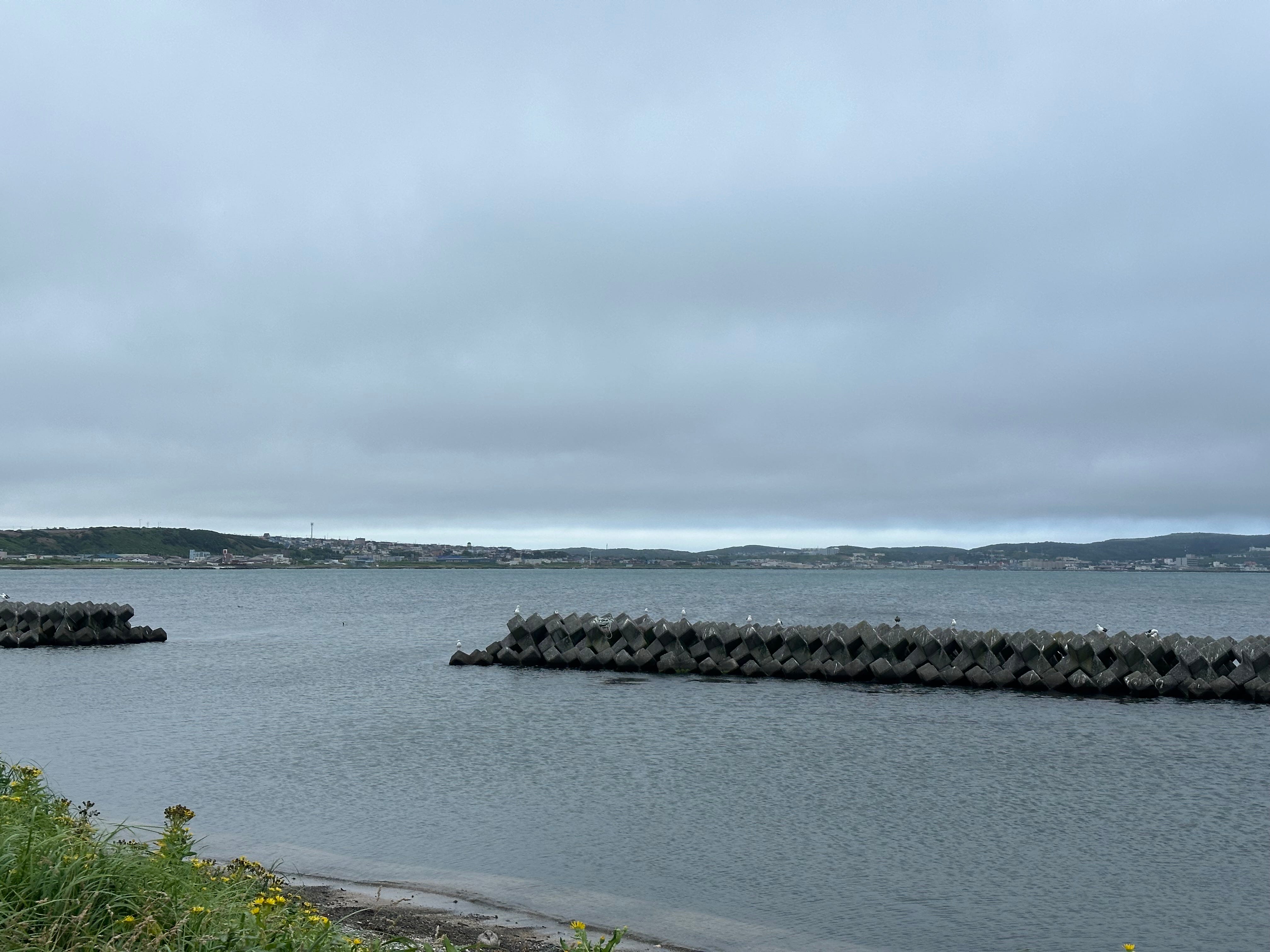
Wakkanai. The northernmost city of Japan as defined by the country’s current boundaries. A capital of Soya Subprefecture, territory Hokkaido, Japan. Facing Soya Strait (or La Perouse Strait) which is connecting the Sea of Japan in the west with the Sea of Okhotsk in the east. And which divides island of Sakhalin in Russia from the island of Hokkaido in Japan. The city with suburbs is spread along the 35 km stretch of Road 238 running from Cape Nosappu to Cape Soya. So, basically the city lies along the Soya Bay.

Around 40,000 people. 43 km to Russian island of Sakhalin. Fishery, agriculture, commercial port. 9 fishing ports, two rivers, one airport, two railway station within the city limits. Taxi number 0162225000 (Japanese only).
Main city hub or “downtown” is around Wakkanai JR Station. Major hotels, restaurant and shops are here (Naka Doori ). The other two modest retail and other consumers’ activity clusters are Minami-Wakkanai station area (Orange-Doori) and suburbs Minato-1chome and 2chome which are just between the two stations and where Fukuko Market is located. I would call it “a city of windmills”. A lot here. Today I have walked half of the way from the city center towards the airport and can testify that it is not a city to stroll around and absorb the views, but rather to plan, then visit different locations. Which are below (listed as they came to mind, not in the order of preference). There are more of course, including couple of interesting beaches on the west side, but I list which I think are the main.
Cape Soya and Cape Noshappu, and around them.
Wakkanai Park.
Onuma Lake and Meguma Pond.
Port Oasis complex with Fukuko fish market, restaurants, Museum of Sakhalin and hot spa.
I will talk about some in this blog. And of course, I will post later about Rebun Island where I will hike next week.
A bit of a history.
Wakkanai meaning in aboriginal ainu language is “cold river valley”. Trading post in the 18th century, transit port between Karafuto (Sakhalin) and the rest of Japan beginning of the 19th century, town in 1901 and city in 1949, “promoted” due to the influx of migrants from Sakhalin which became part of the Soviet Union in 1945. Submarine base for Japanese Navy during WW II. Quiet fishing city now with some exposure to tourism and large to strong winds.
My story. Hotel and Onuma Lake.
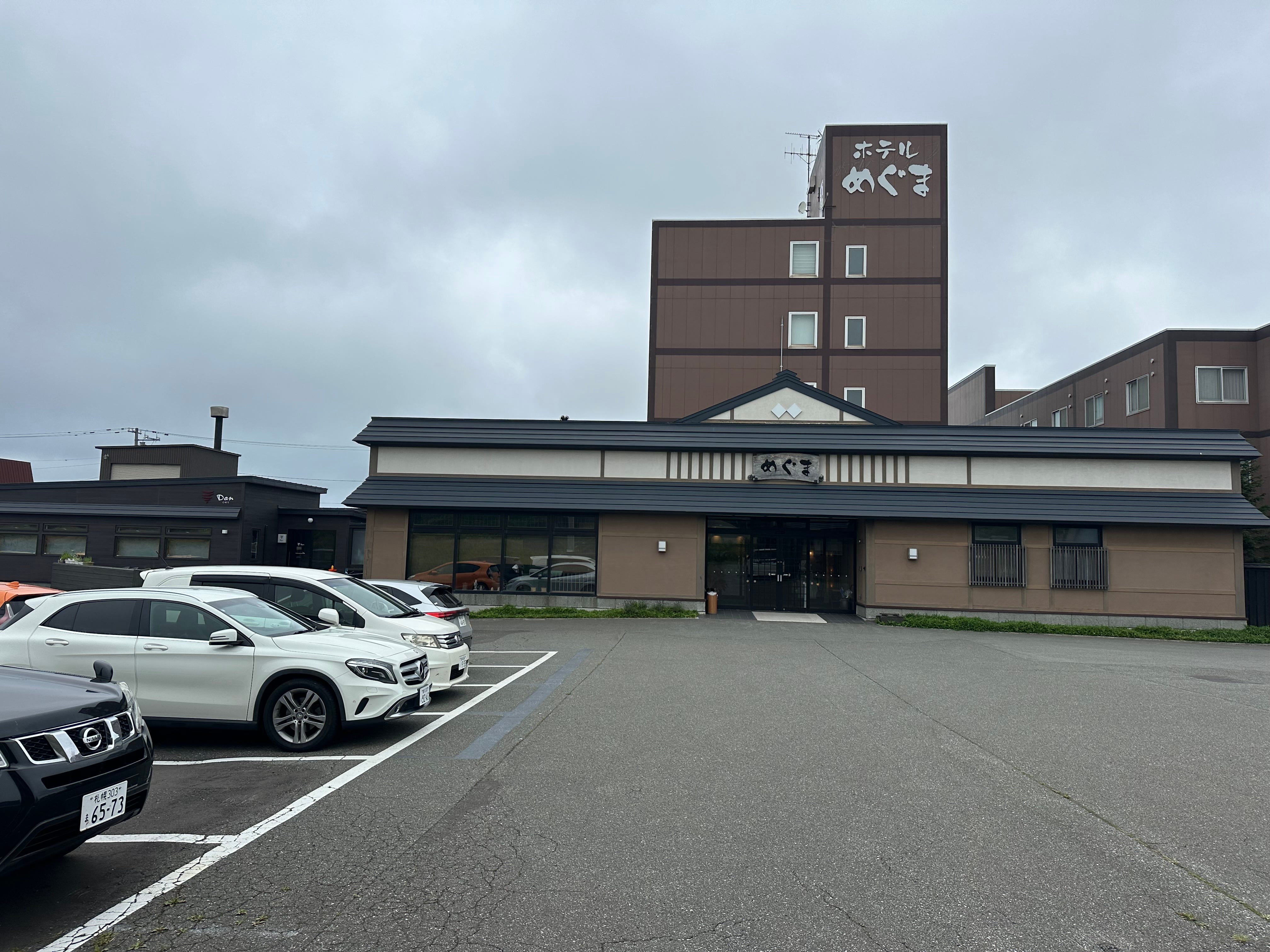
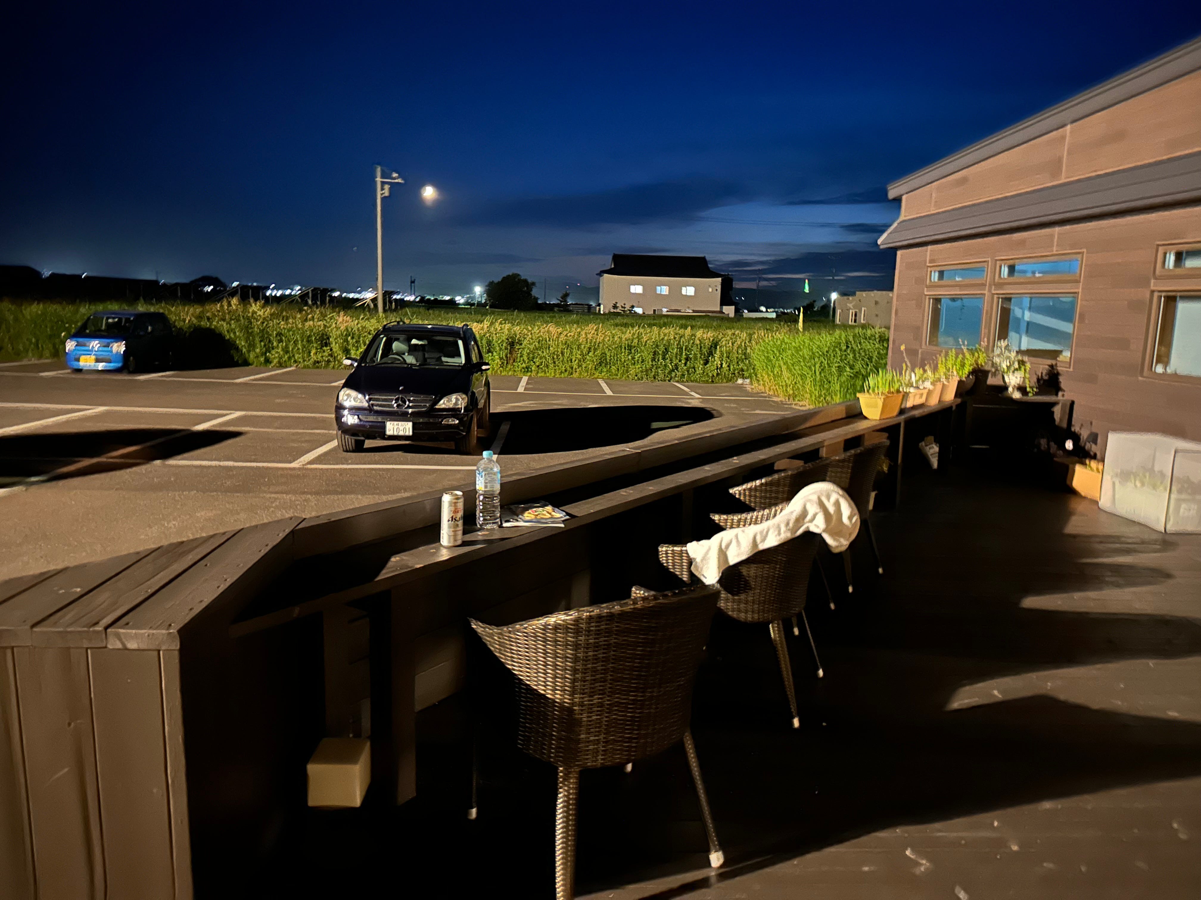
Time flies. My last long trip to Hokkaido was exactly two years ago to wander around Shiretoko Peninsula. The main purpose to be in Wakkanai this month is to explore the place before moving to neighboring Rebun Island for hiking. I booked Meguma hotel, halfway between town center and the airport, nothing around, bring your dinner or pay 10,000 JPY at the hotel for one super heavy feast, sauna and hot bath, microwave.
1 hour 50 minutes flight from Tokyo yesterday. Where it was a scorcher of 34 degrees and where it is 17 degrees aggravated by strong wind in Wakkanai. Sauna, bath, couple of rice balls with salads from convenience store and sleep.
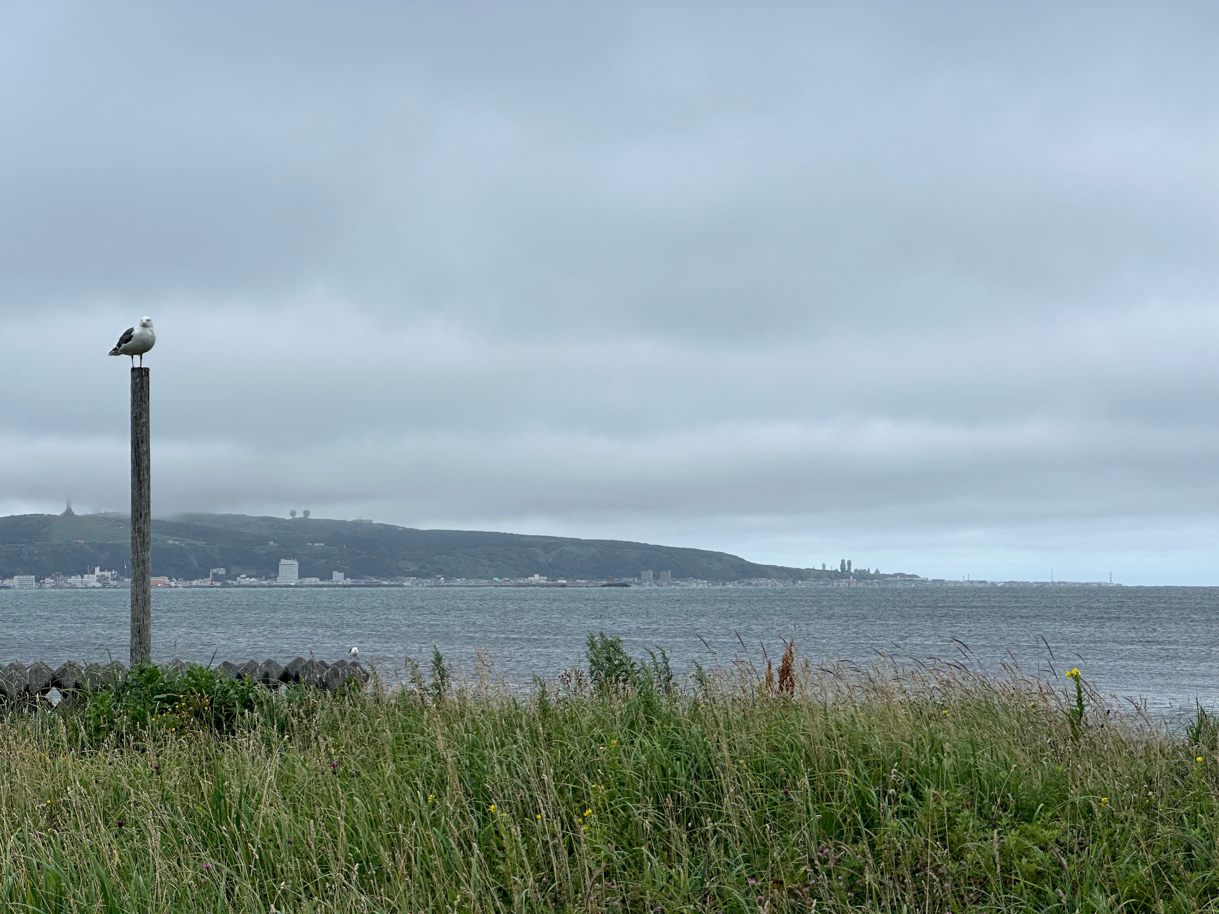
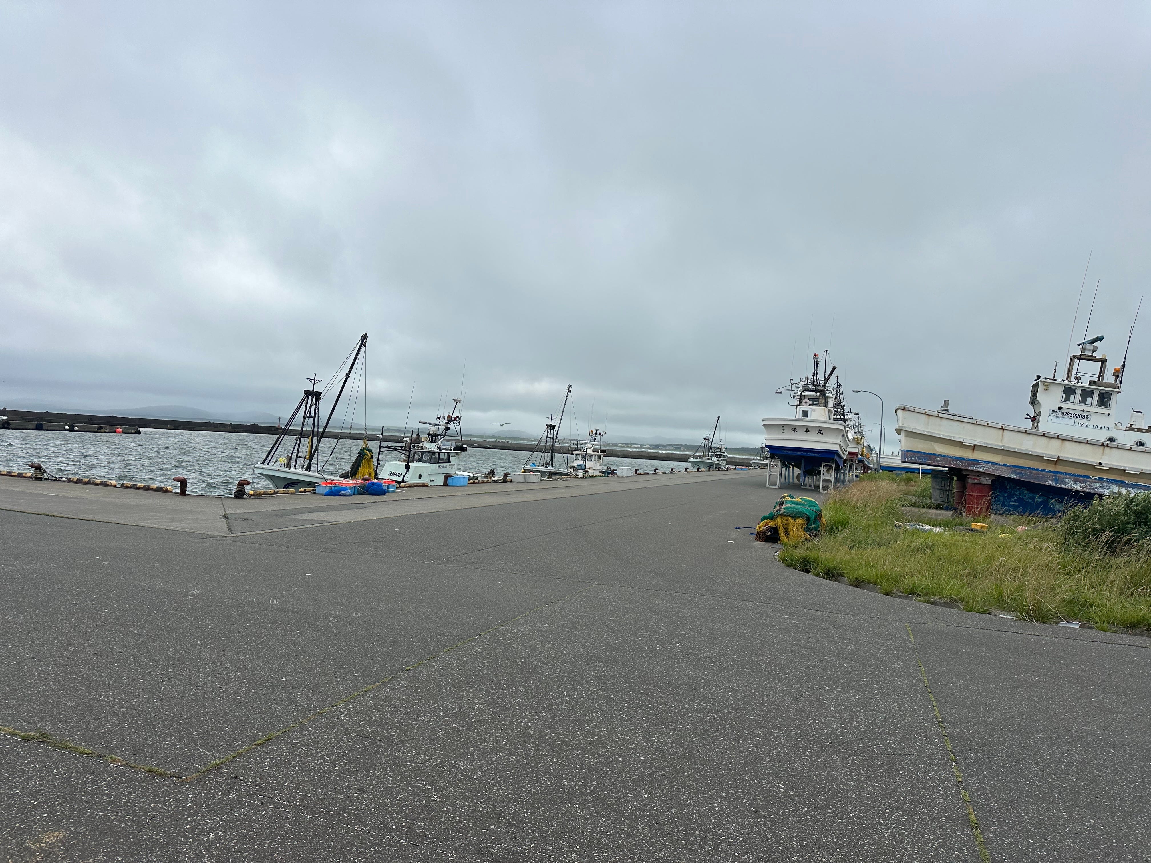
This morning, I put on all my four T-shirts and start exploring around the hotel. I see, it is actually located on a small cape right near Koetoi fishing port.
At night I enjoyed a soothing far away orchestra of sea gulls. In the morning, I inspect the performers.
Next is Onuma Lake. It is known to host large colonies of swans in spring and autumn. I decided to reach the lake via Soya Fureai Park which is a very large campground.
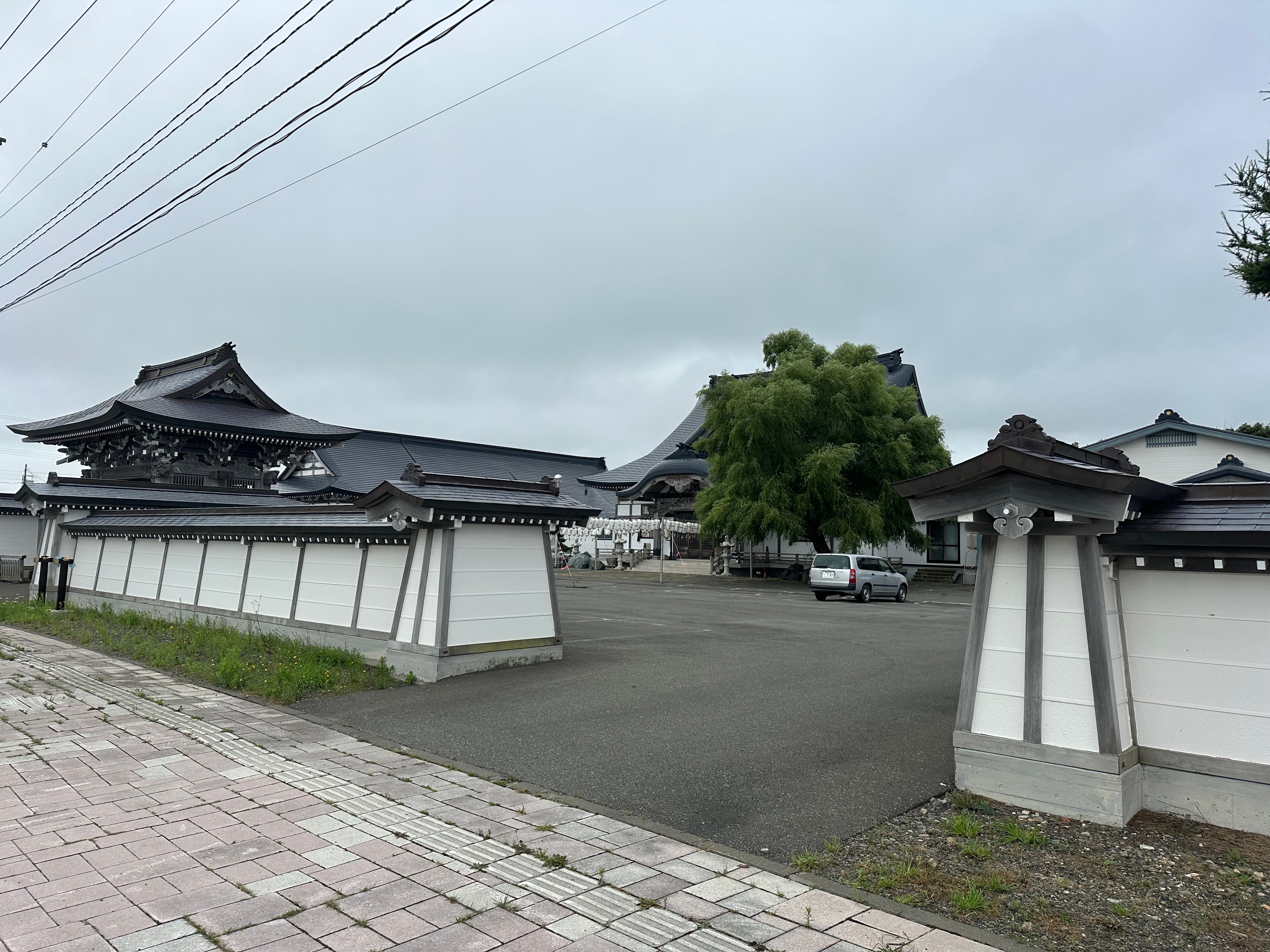
Daitokuji Temple on the way.
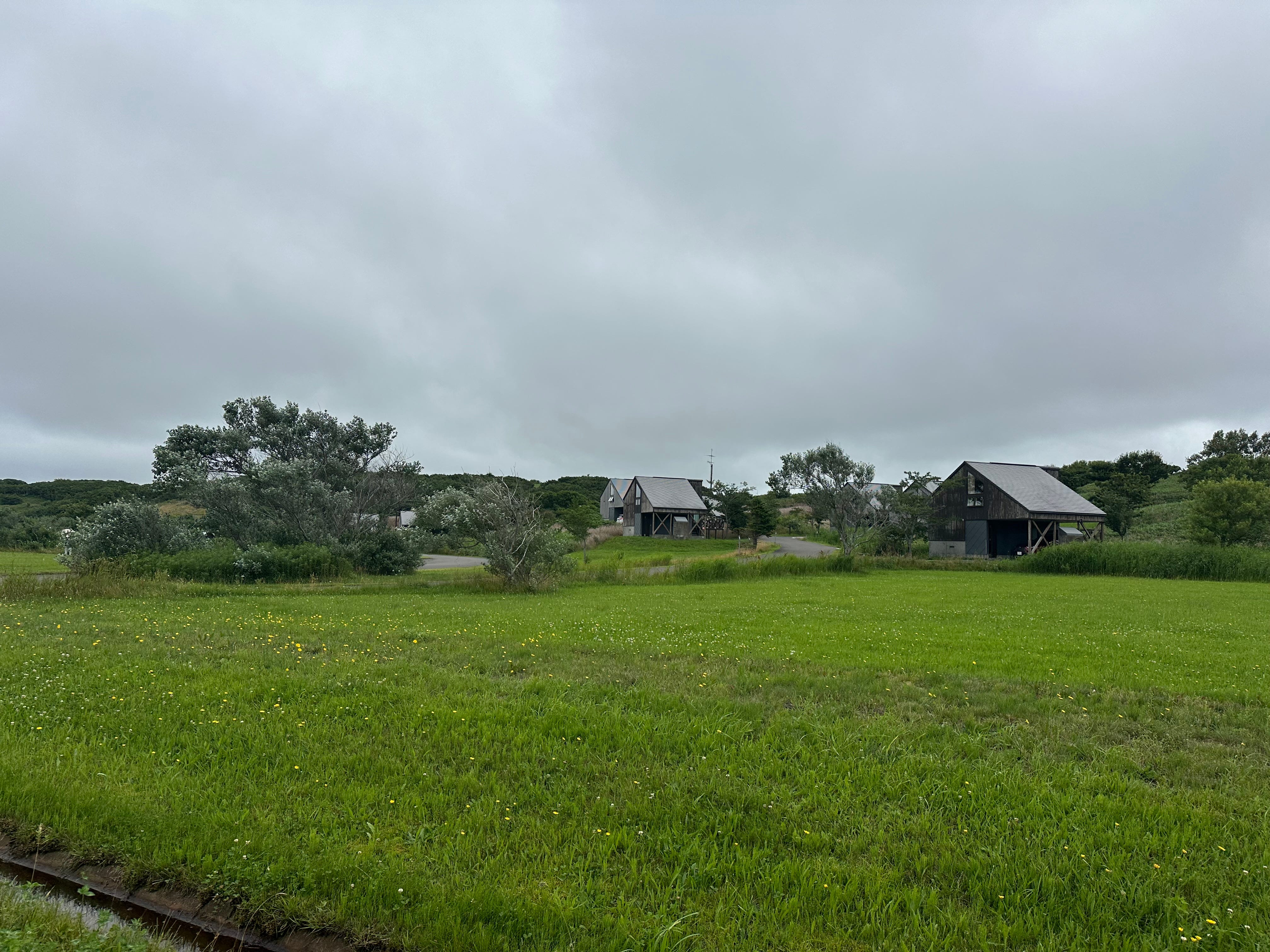
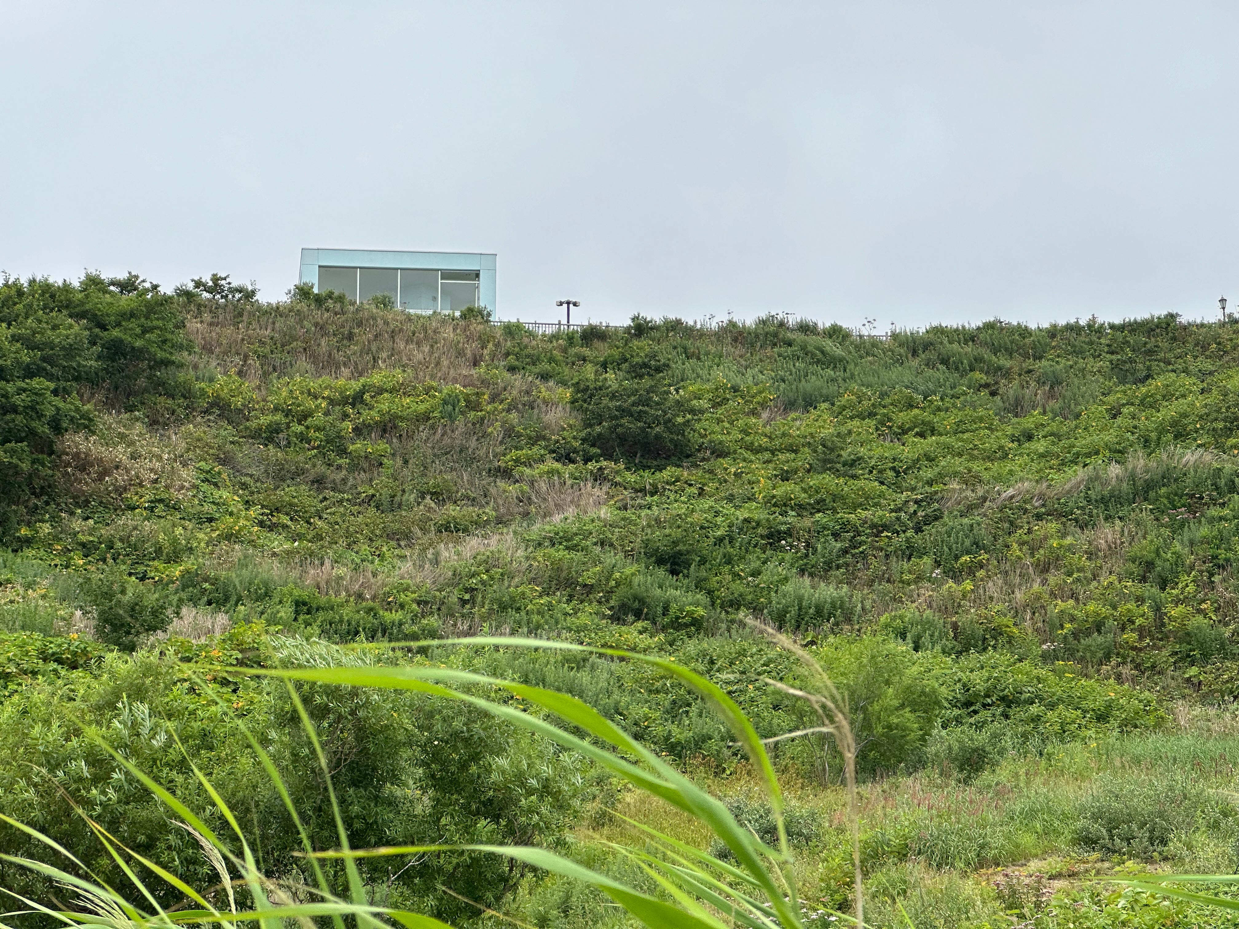
Soon I am inside the park and climb towards the observation port. The park is huge, with golf courses, kids’ playgrounds, probably a good place to spend a weekend if you are into golf. And you can stay in cottages also.
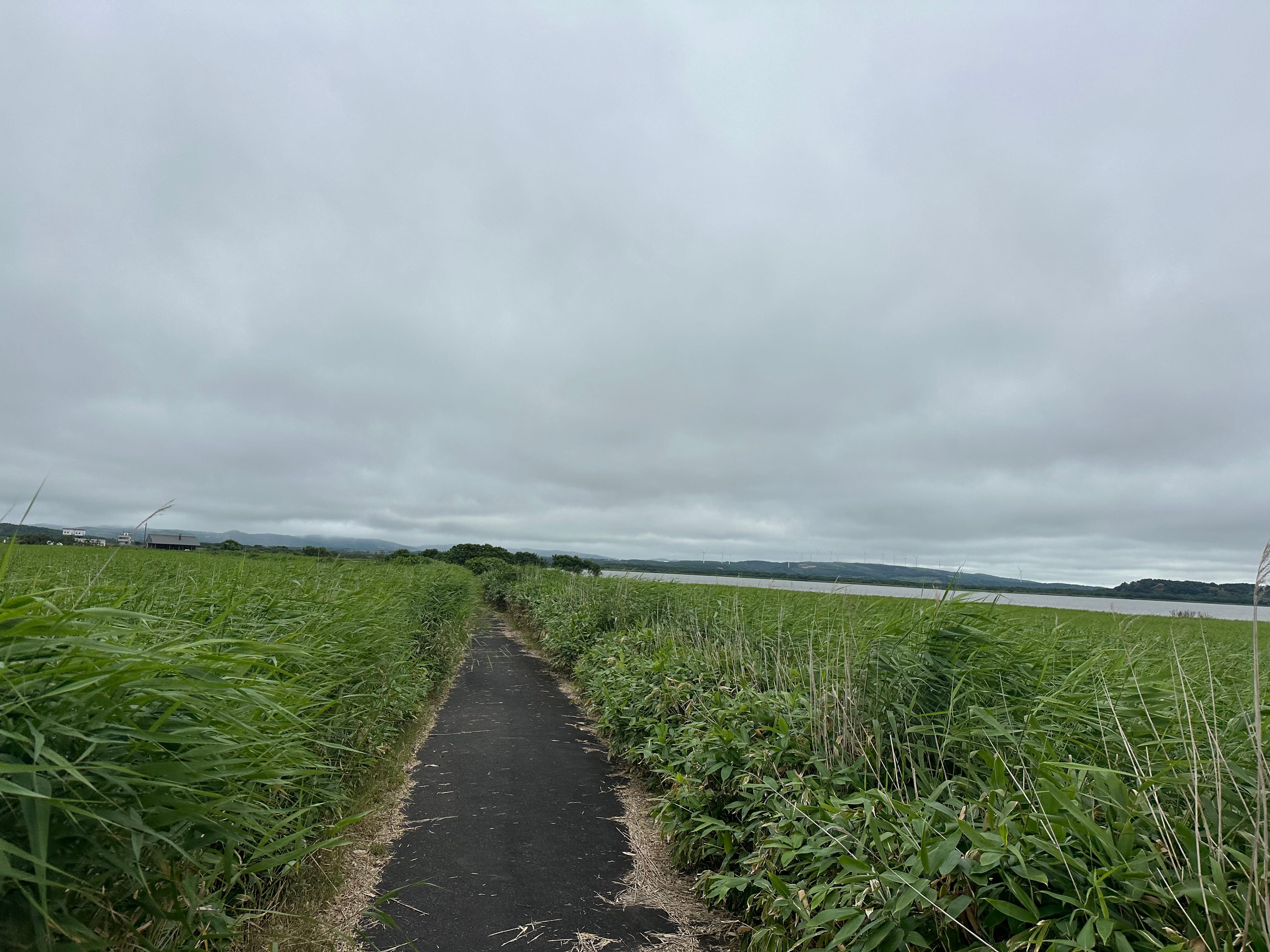
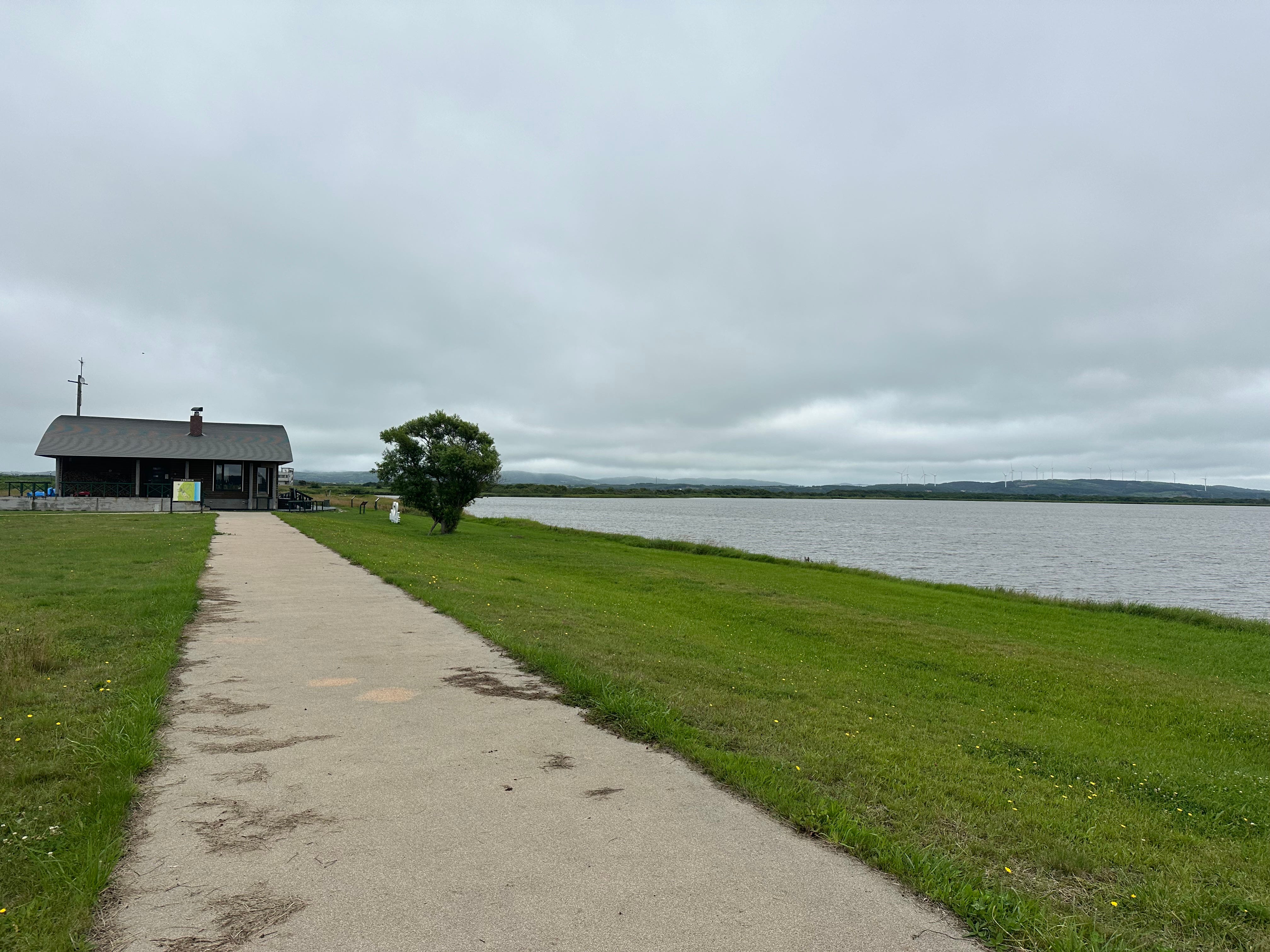
Next destination is bird watching house near the lake. I descend towards the cottages again and find a path to the lake.
Later when I see park observation deck again, now above me, I realize that I could have just climbed the fence and descend to the lake through the bushes. Well, in Japan people normally do not climb the fences, but I am a foreigner…
Bird viewing house ahead. No people and no birds. But I read that as many as 4000 swans A DAY fly into the place during the spring and autumn.
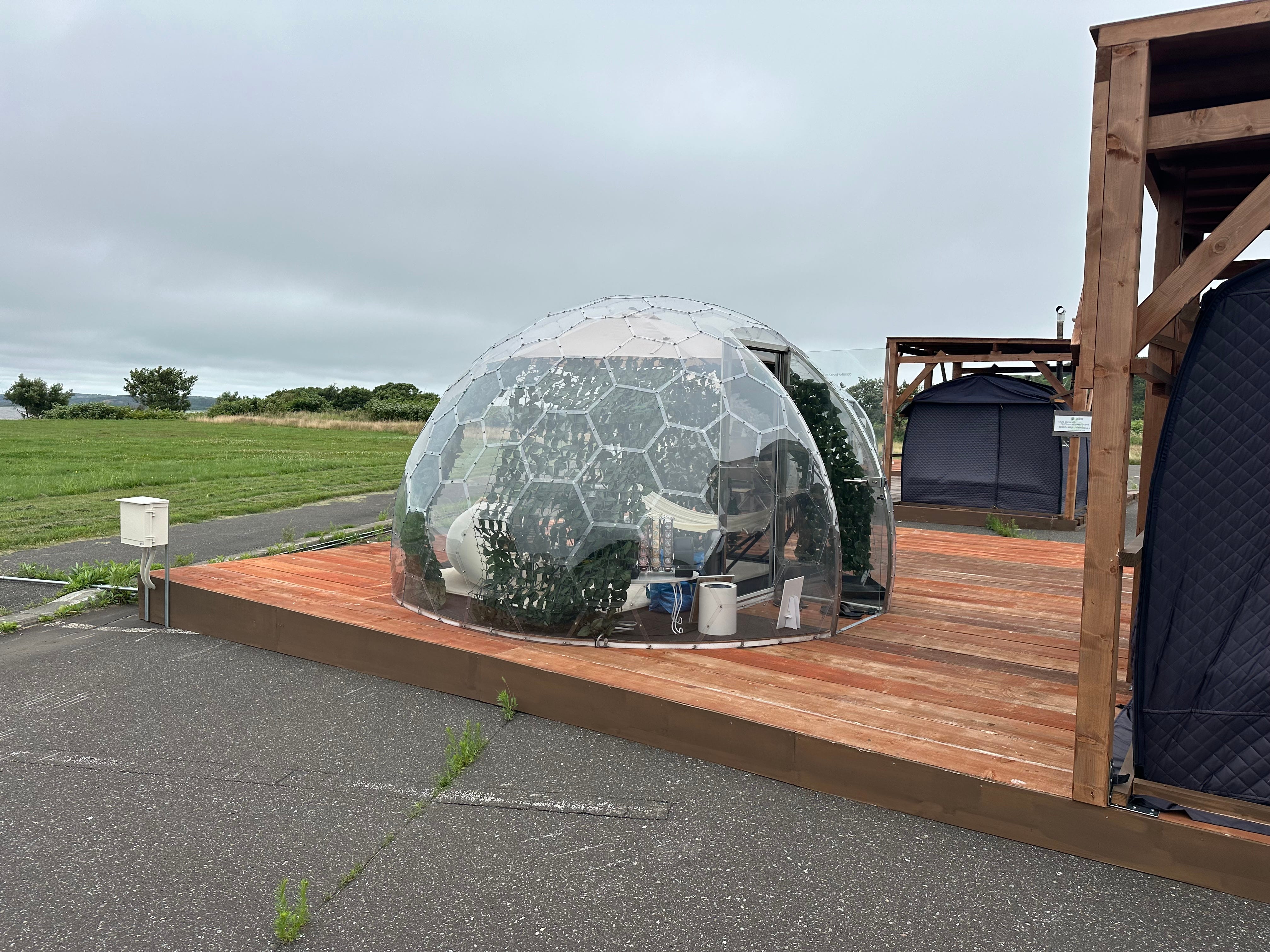
Instead of swans I found pop up sauna tents with transparent cupolas of rest cabins. Cold baths are also provided. “It is 10,000 yen for a small one, three hours, sauna and rest tents”, tells me the assistant. Might be one good place for a work “meeting”.
I enjoy my tea break and check transportation.
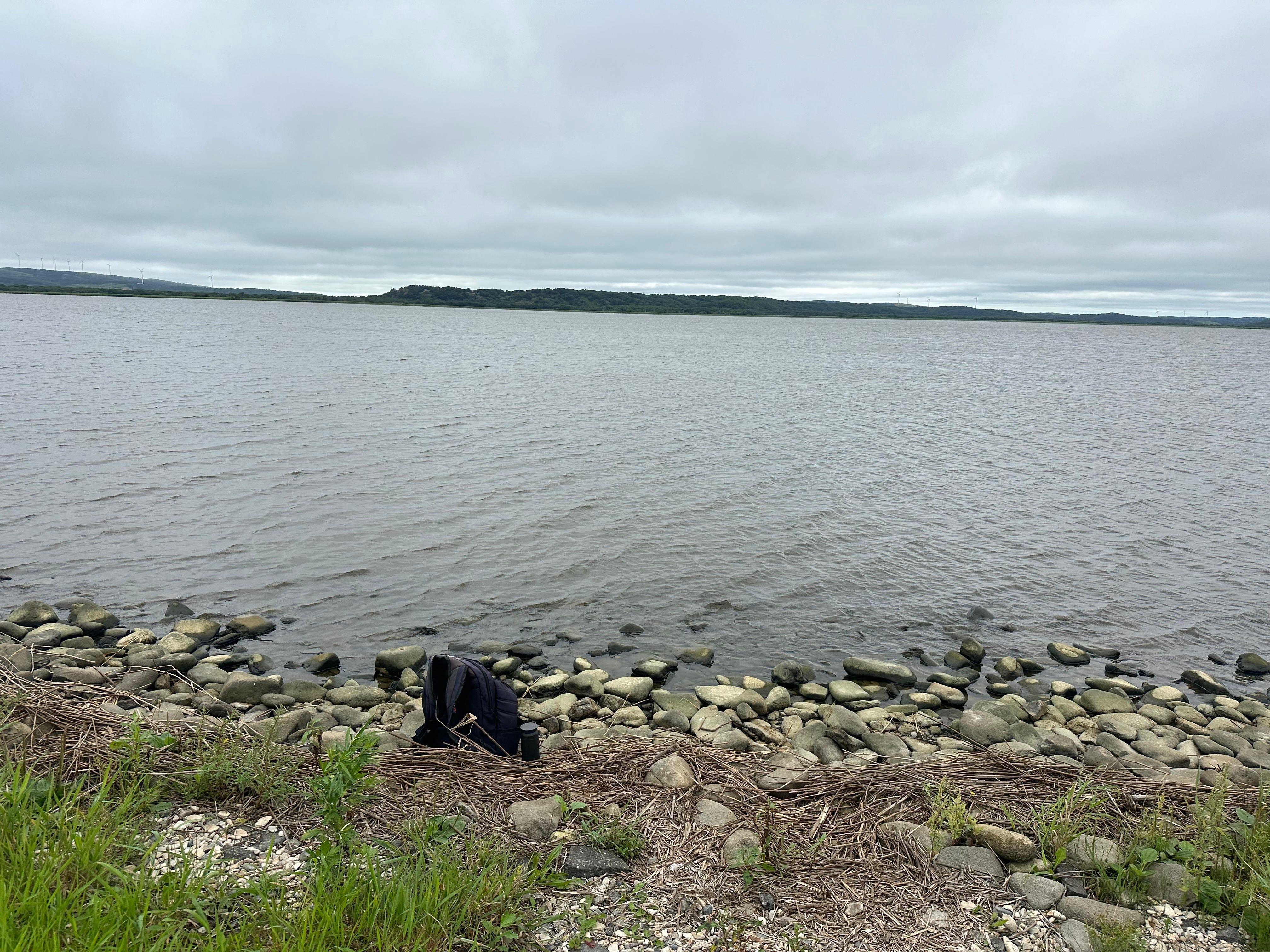
No buses nearby and faraway bus arrives only in two hours. I call taxi and go to Cape Soya.
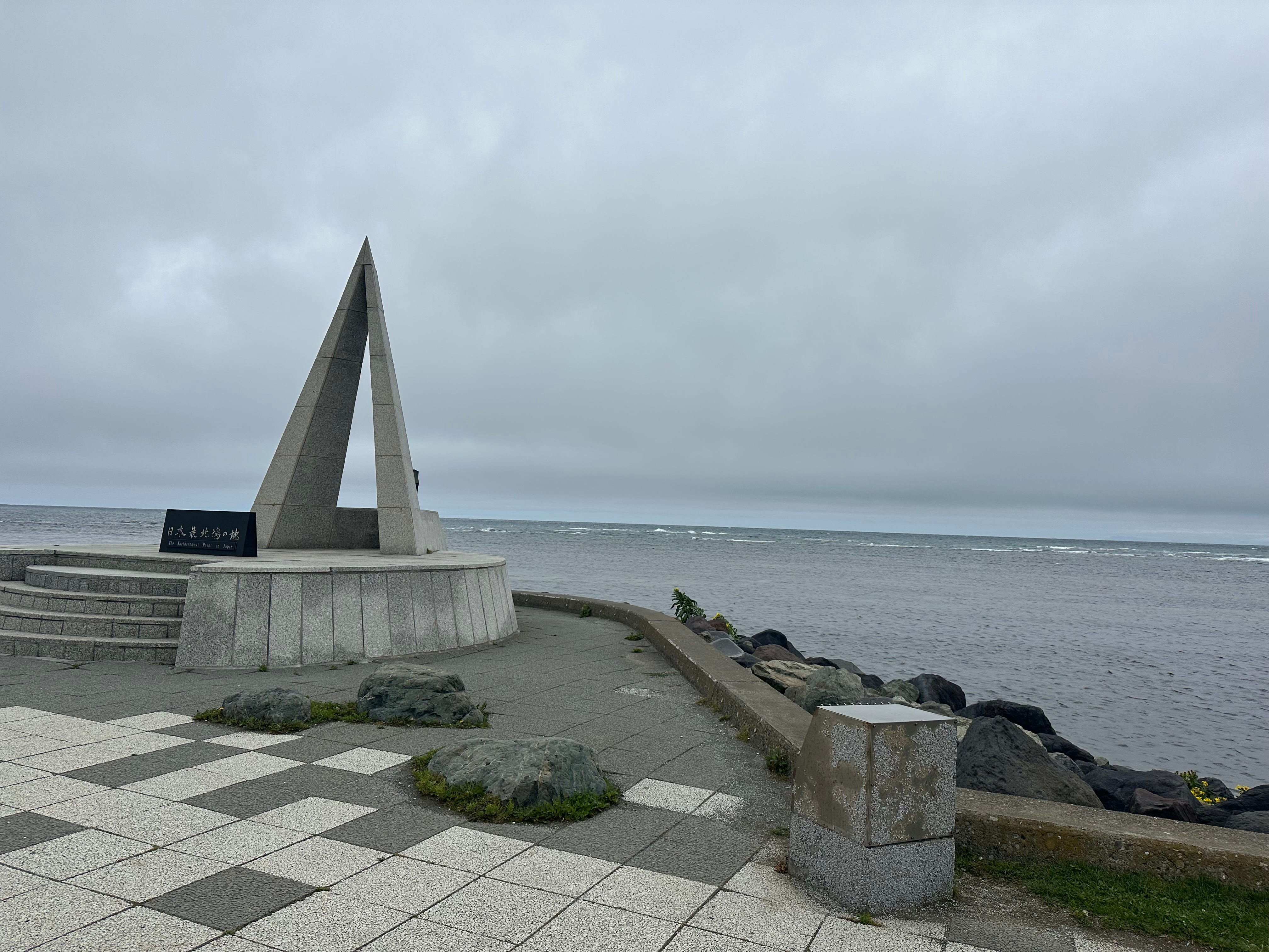
Cape Soya.
It is the most northern point of Japan. There are plenty of monuments here, walking paths around Soya Hills, and Sakhalin Island can be seen on a clear day.
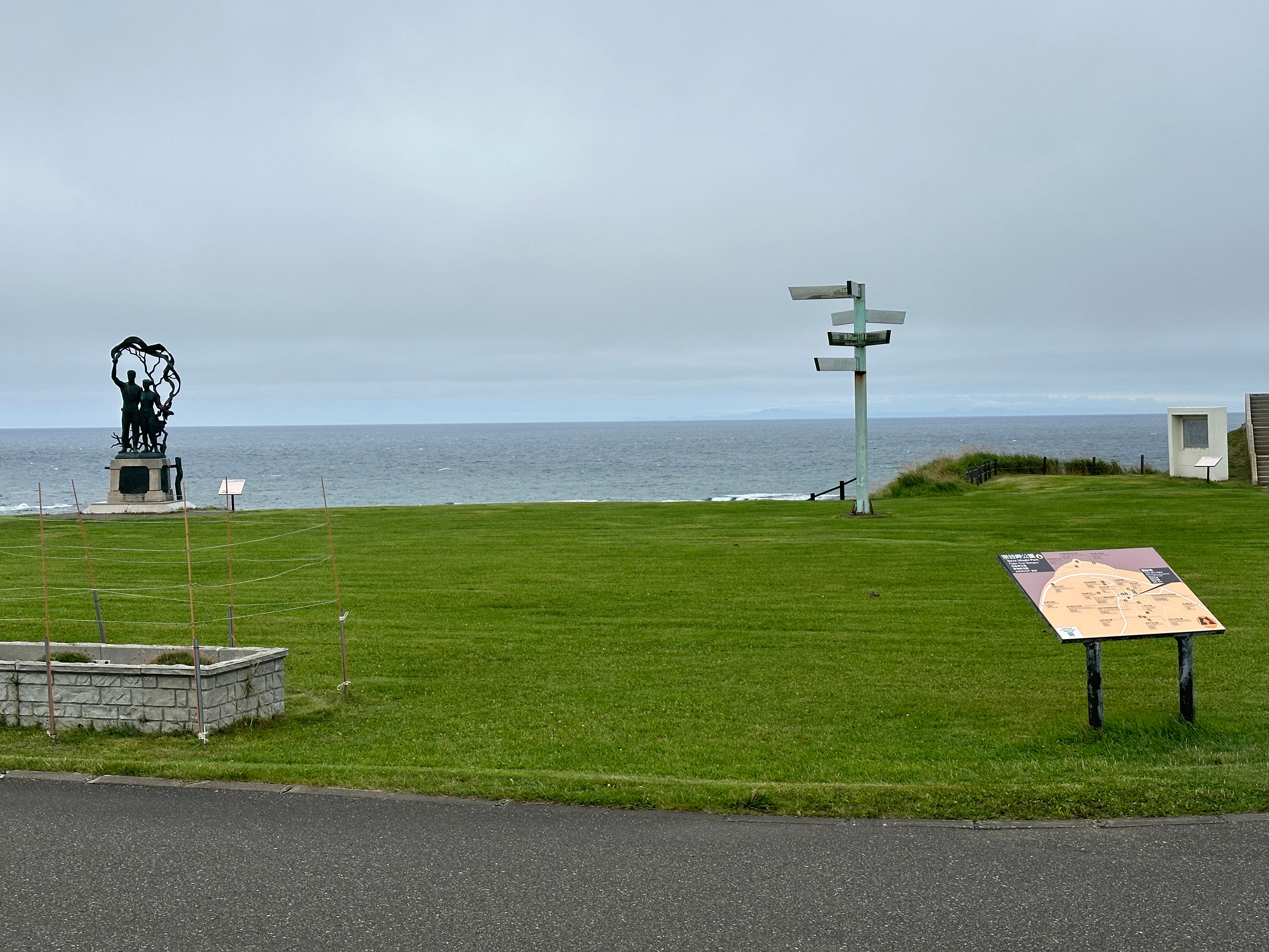
I go upwards towards the Soya Hills.
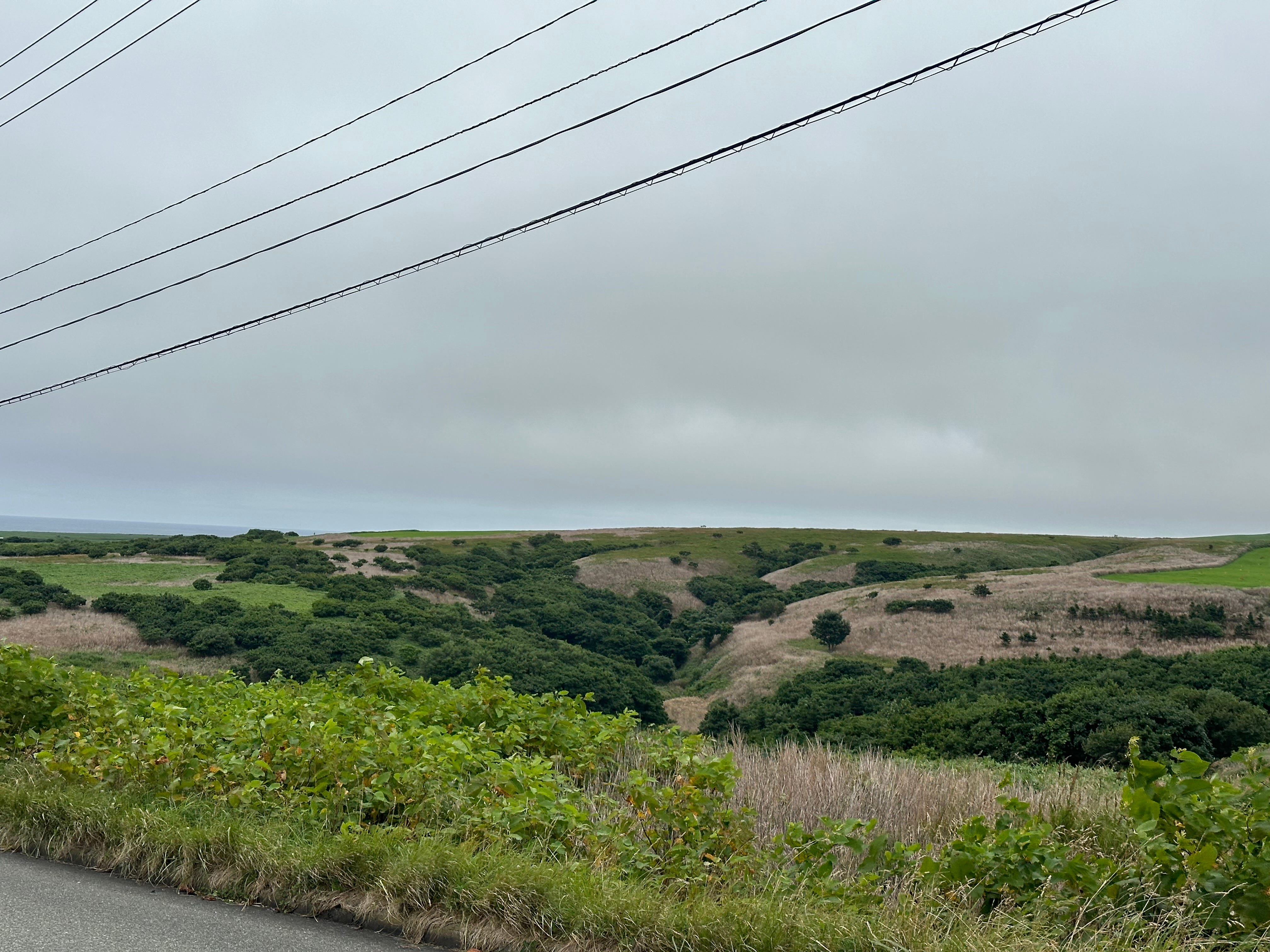
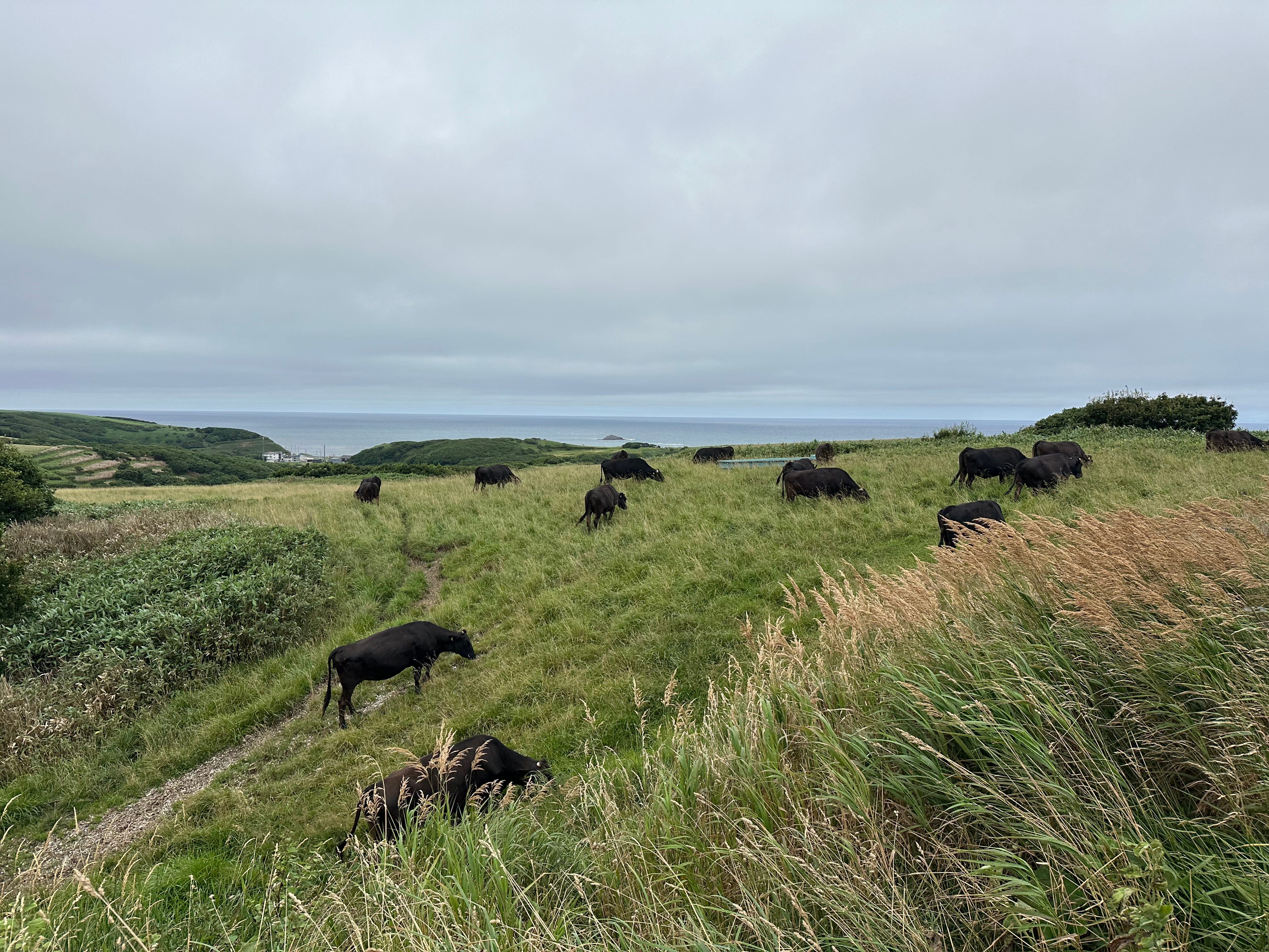
There is a 10 km track inside, but it is windy and cold, even cows felt it as it seemed to me, so I skipped.
I need some warm place and hurry up towards a diner in a guest house called Almelia, located above the main road.
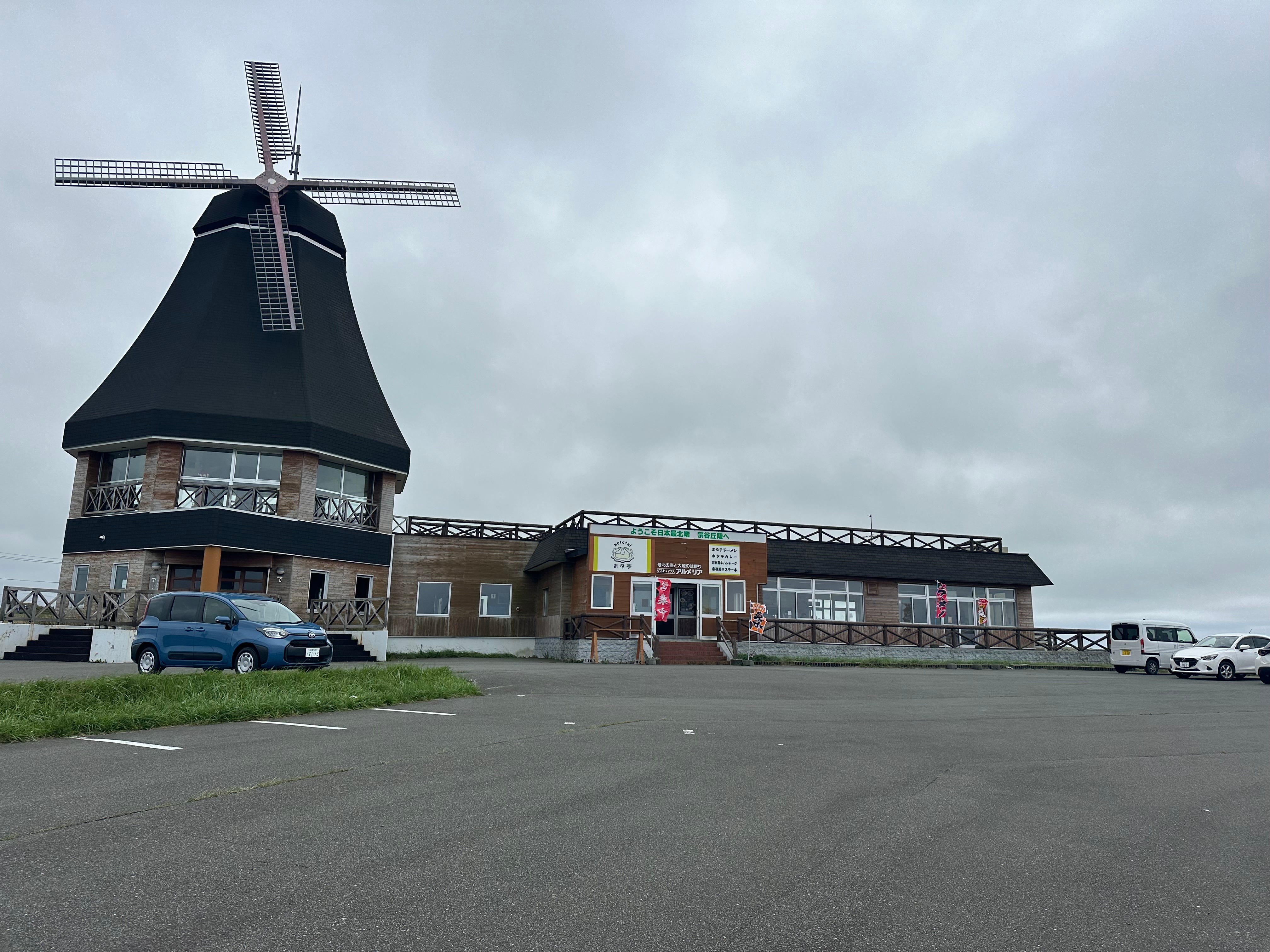
Ramen with dry scallops and ikura-don (rice topped with red caviar). Drinking water watching at the beer poster. And the bay.
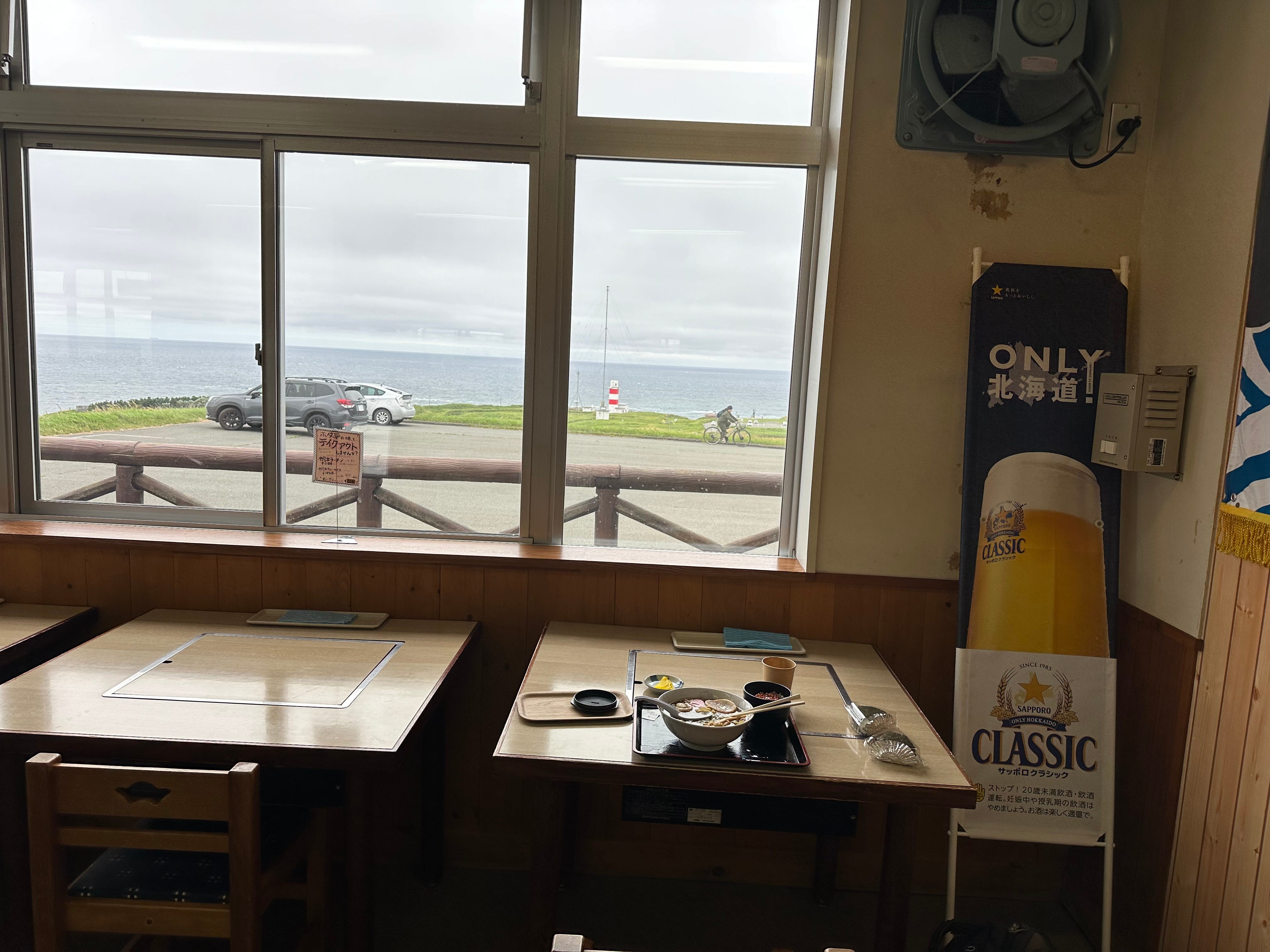
After this late lunch I am waiting for the town bus inside, reading and criticising myself for not bringing warm clothes.

I ventured outside hotel after the bath in the evening. Would be nice if it was warmer. Another day!
(to be continued)
I’m going to Shiretoko this month! Thanks for the inspiration and details.
Very interesting, a part of the country I am not at all familiar with !