PART 1 IS HERE and PART 3 HERE
East Coast Park
Yes, the Lion City has plenty of outdoor hiking and walking places. And it is constantly working to improve them. And increase them. 20 years ago I would not think of hiking in Singapore, but today you can choose so many interesting routes. Let’s check some.
East Coast Park. It is the largest green park in Singapore, not far from Changi airport. Well, everything is “not far” here.
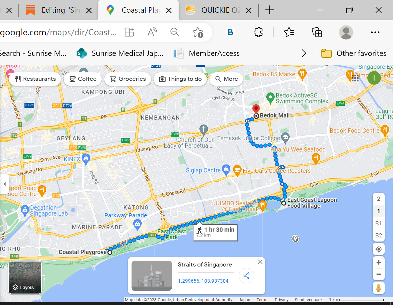
I took taxi to the park and got off before Coastal Playgrove, not too far from the Gardens by the Bay. Another way to explore the Park is to take train to Bedok station and walk in the opposite direction.
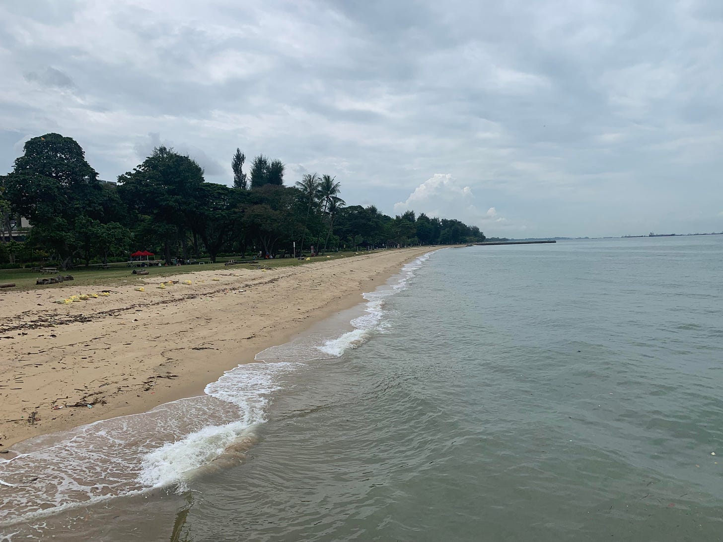
Here is the “beach” in the East Coast Park.
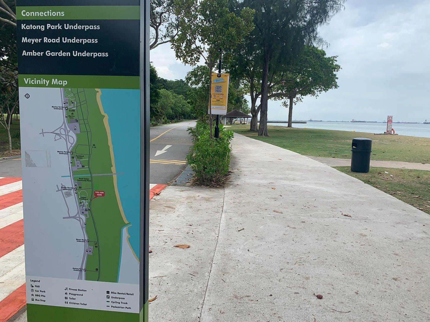
Some guides say you can swim here, but I really would not. Stroll is pleasant with signs telling you where you are and giving suggestions for further routes.
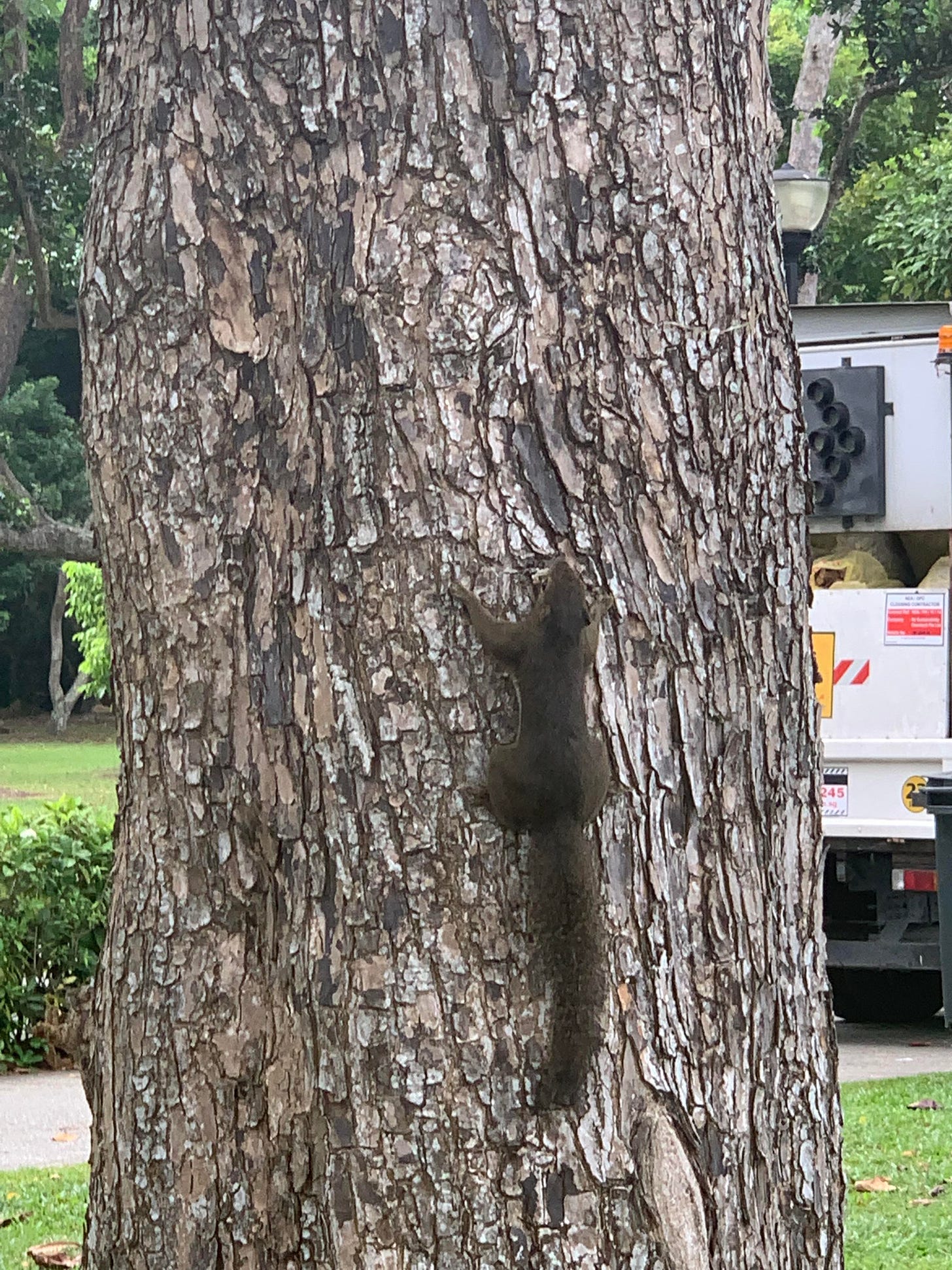
With stops to explore small cafes and observe animals,
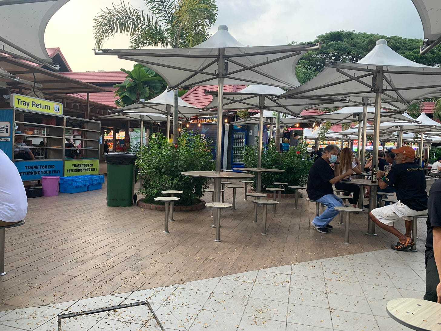
it took me around two hours to reach East Coast Lagoon Food Village. I like this place: you buy food from the food stalls, whatever you like, and drinks from booze/juice kiosks, kind of a large hawker center. Relaxed vibe, as everywhere in Singapore…
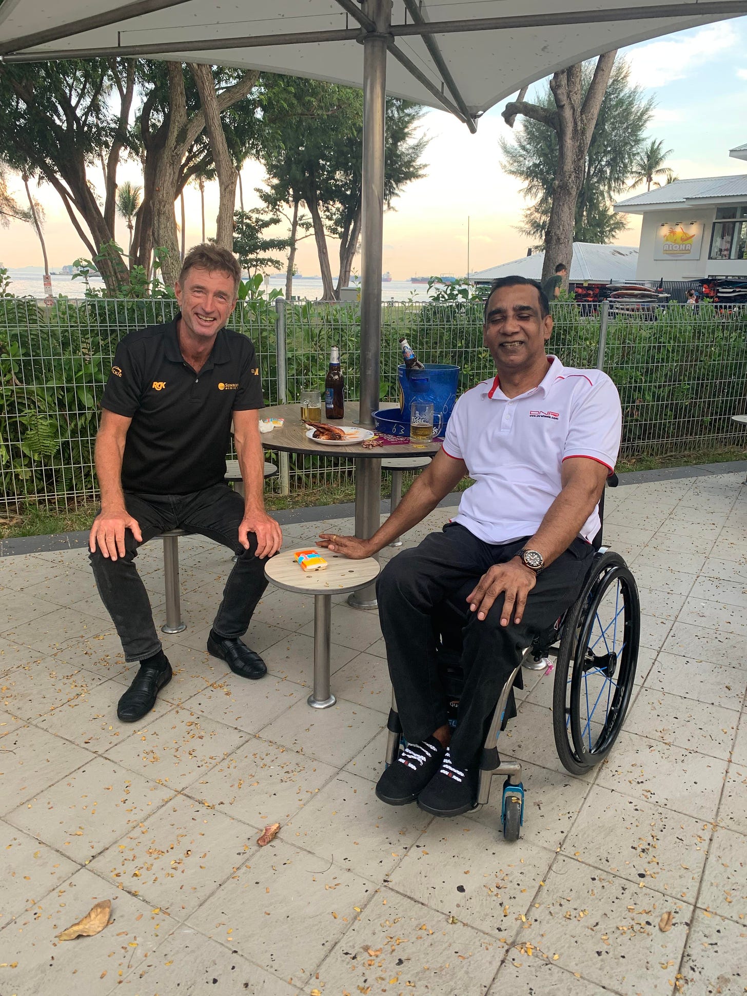
I visited this place a few days before my hike with Raja Singh. Knowing each other for around 17 years we had a good time (:
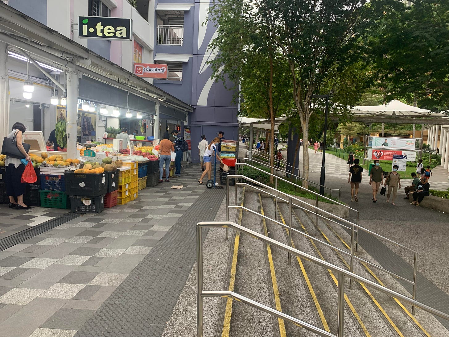
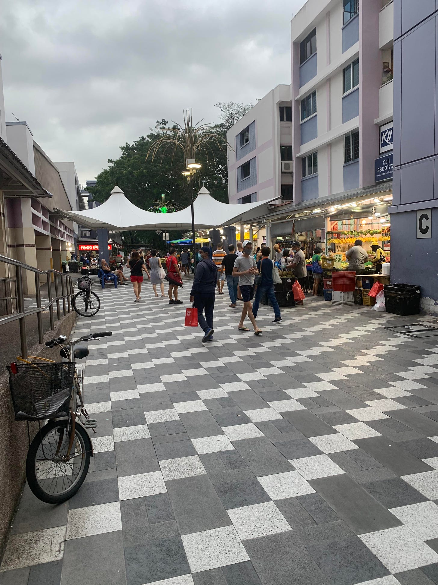
Having enough of the park, I moved towards Bedok MRT station. A very nice and lively area with many outdoor stalls, shopping/eating dens and playgrounds. The hike in the park is good, but also I recommend to come and eat in many outdoor restaurants.
GREEN CORRIDOR
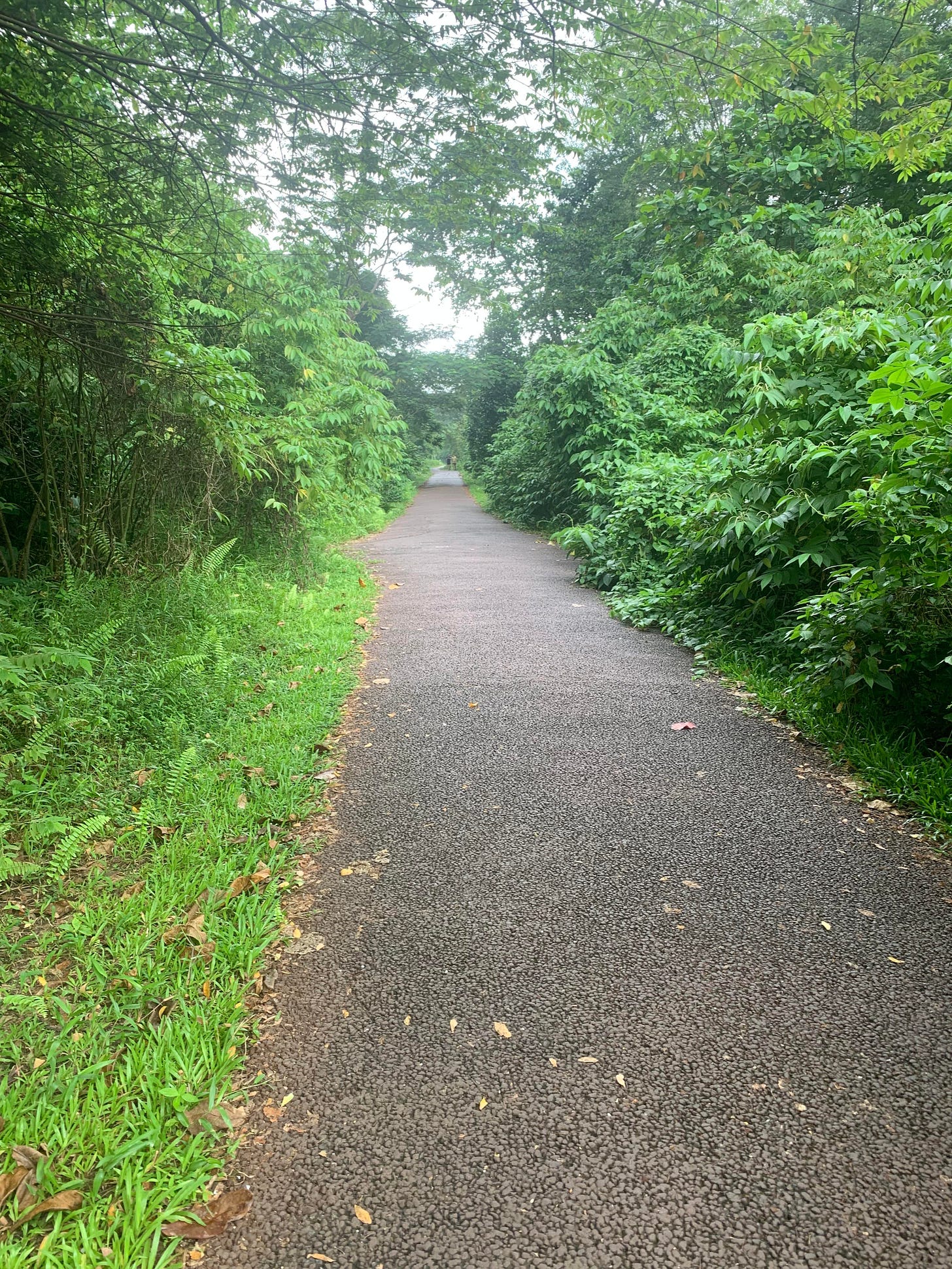
Little Singapore has around 350 green parks, big and small. Green Corridor is really what it is called: you walk through the relatively narrow path surrounded by the greenery.
Also called Rail Corridor, in many areas the path runs along the former Malaysian KTM train railway. This line was closed in 2011, but since last year you still can go to Malaysia (Johor Bahru) by train from Woodlands station in Singapore. I want to try one day.
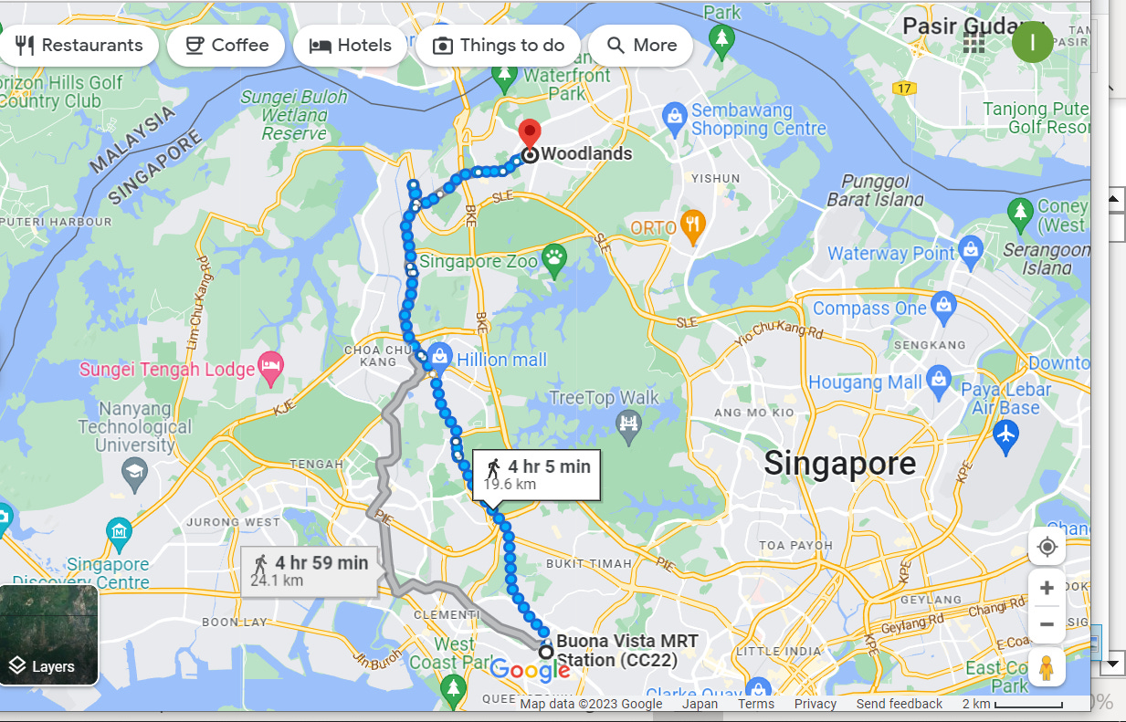
The total length of the Corridor is around 24 km, and there are plenty of maps online.
I recommend starting at Buona Vista or Hillsview station and finish at Kranji station. There are often upgrades to different parts of the section, so make sure to check status online. The Straits Time recently has published an update about 6 m steel bridge having been finished near Hillsview station, so next visit I plan to check this new stretch of the hike. Many signs everywhere, so it is relatively easy to navigate, however I took the wrong turn and had to walk back for a while to get back to the hiking course (later on this). Allow for 5-6 hours including stops for a coffee and snacks.
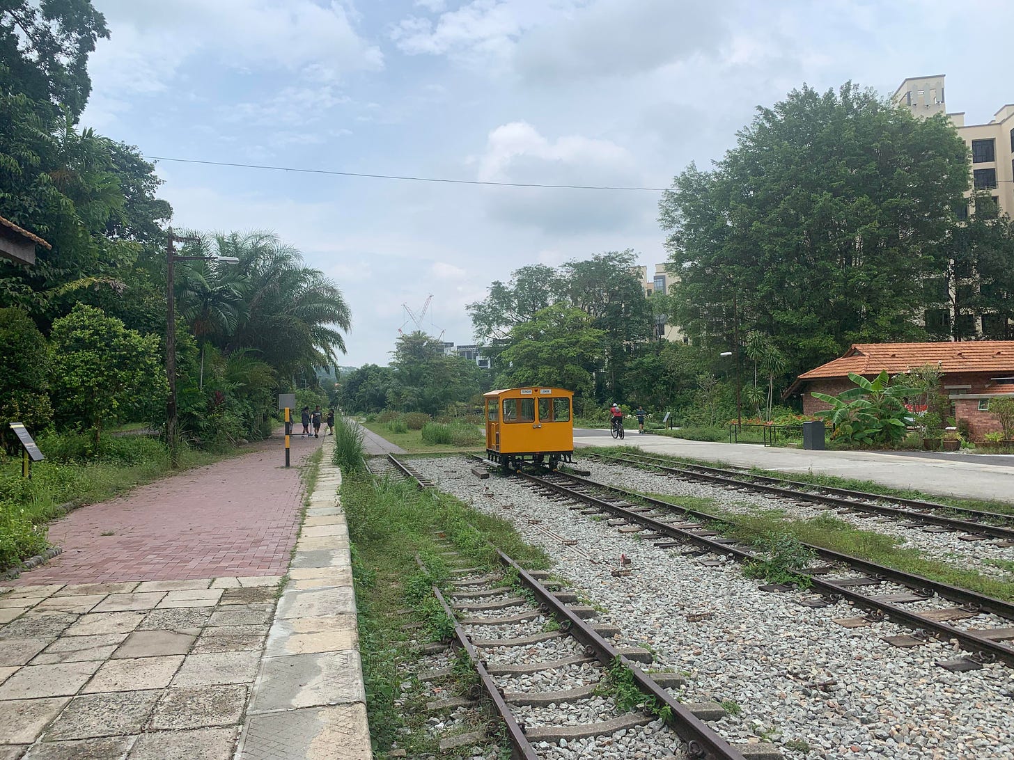
This is how the path looks when you start at Buona Vista.
Also many cyclists, sometimes irritating, as the paths are narrow, but you will see less of them once you have passed old railway station.
It is definitely a GREEN corridor.
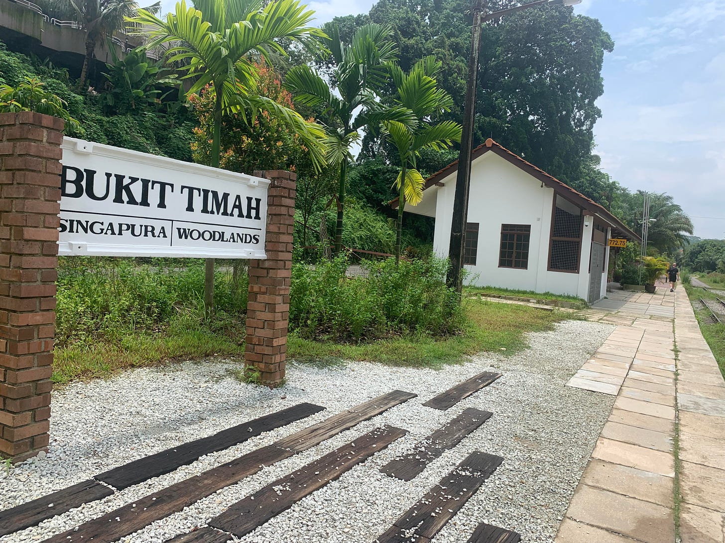
I liked the area near now dysfunctional Bukit Timah station.
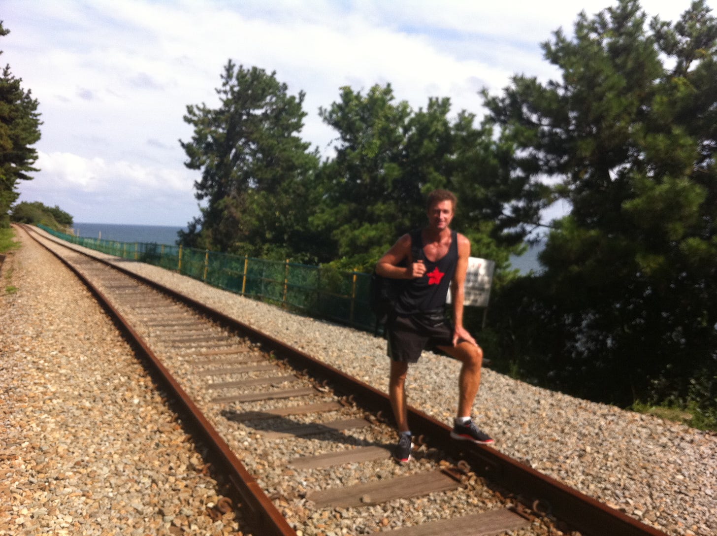
Walking along the rails reminded me similar track in Busan Korea.
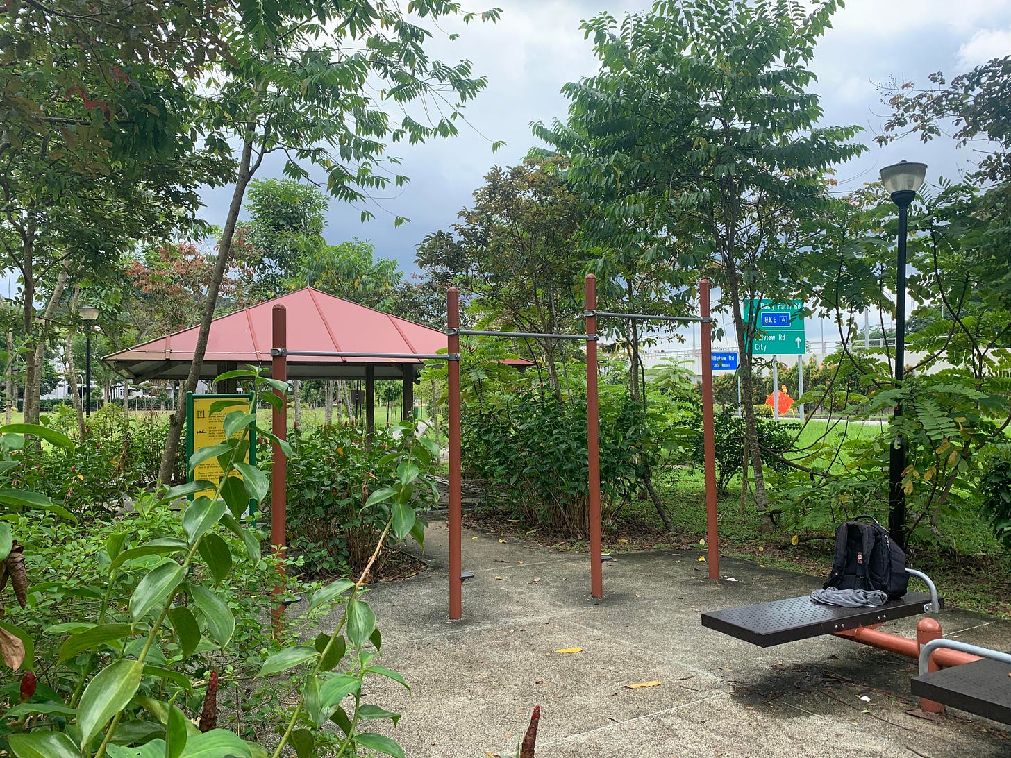
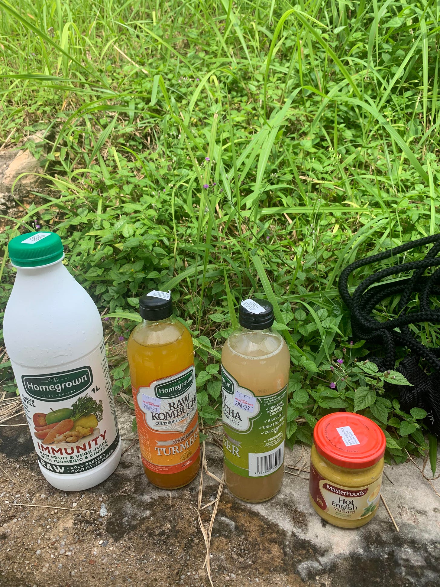
There is a shopping center and few food outlets near Hillsview station if you want to take a break. I bought some juice and kombucha and did few push-ups in this outdoor gym.
By the way, Singapore has many things which are hard to find in Japan. E.g., hot mustard which I took home. And I love kombucha!
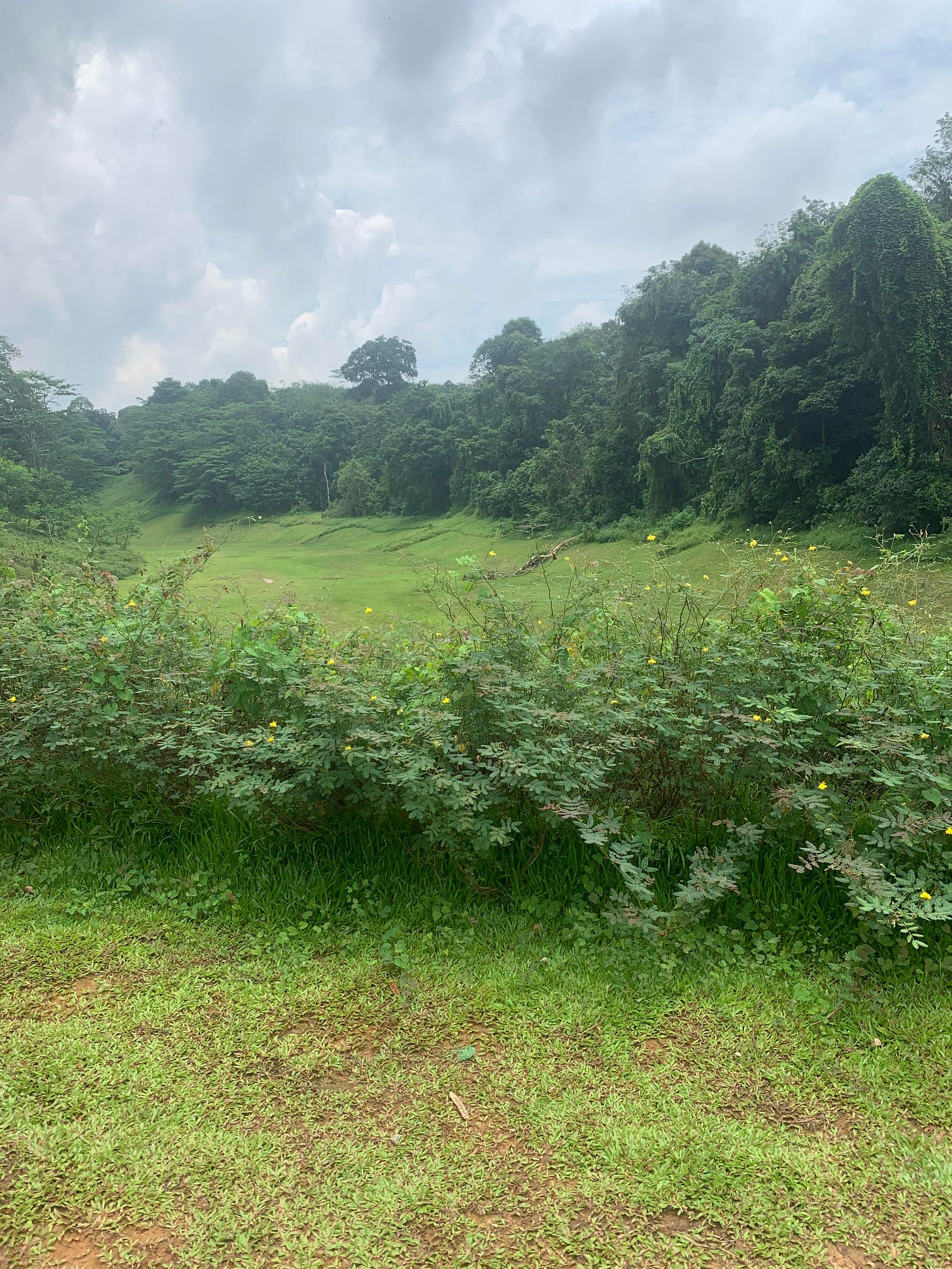
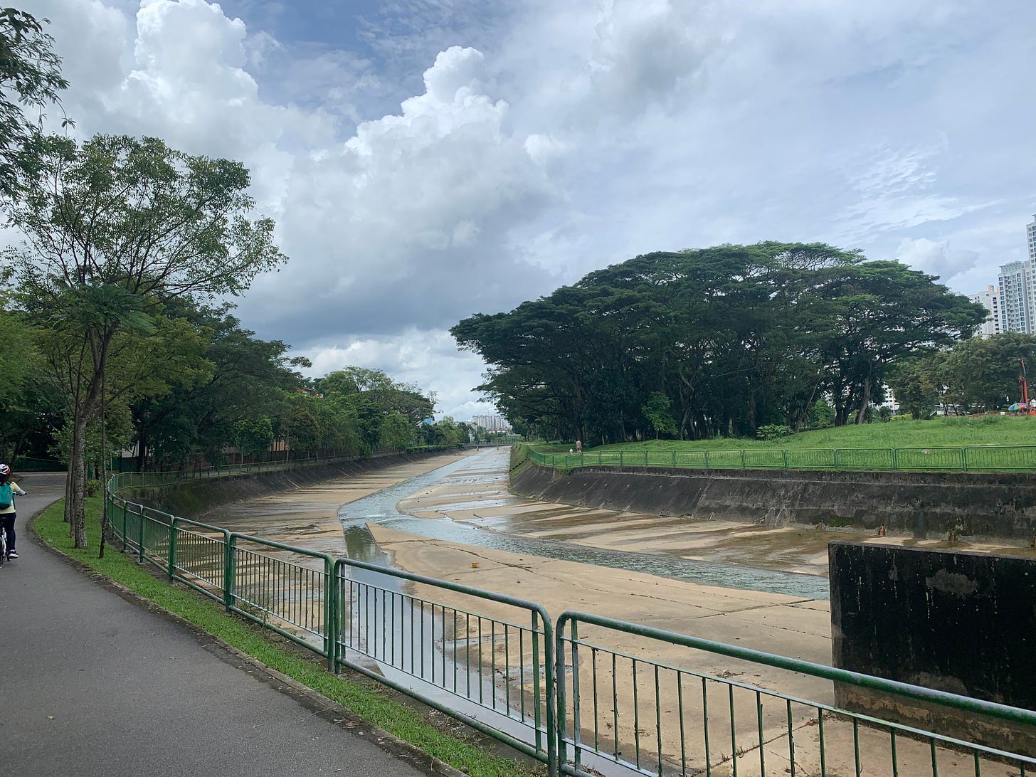
Soon after passing Cashew MRT station (nice name, la) you will be walking along Pang Sua River
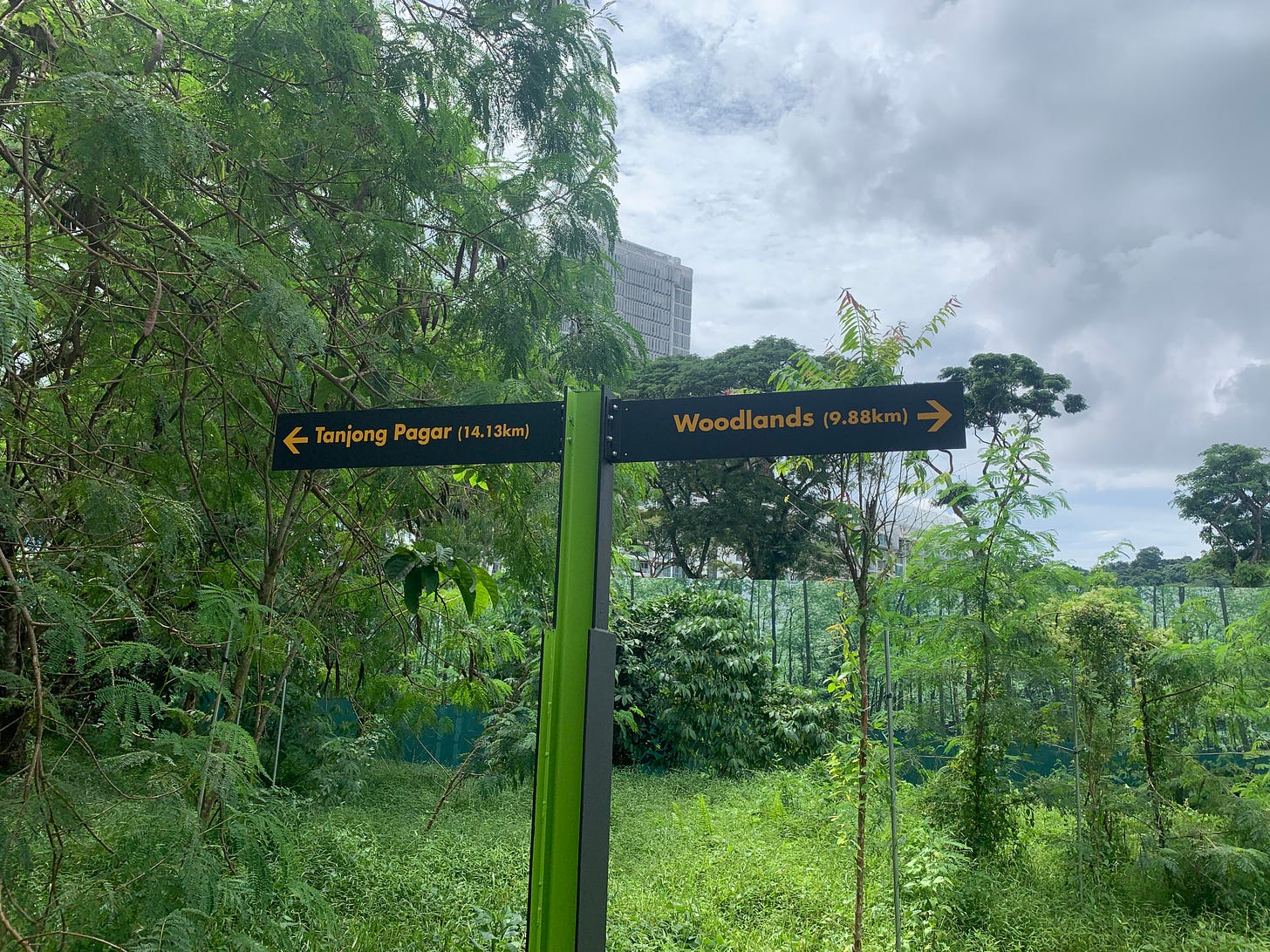
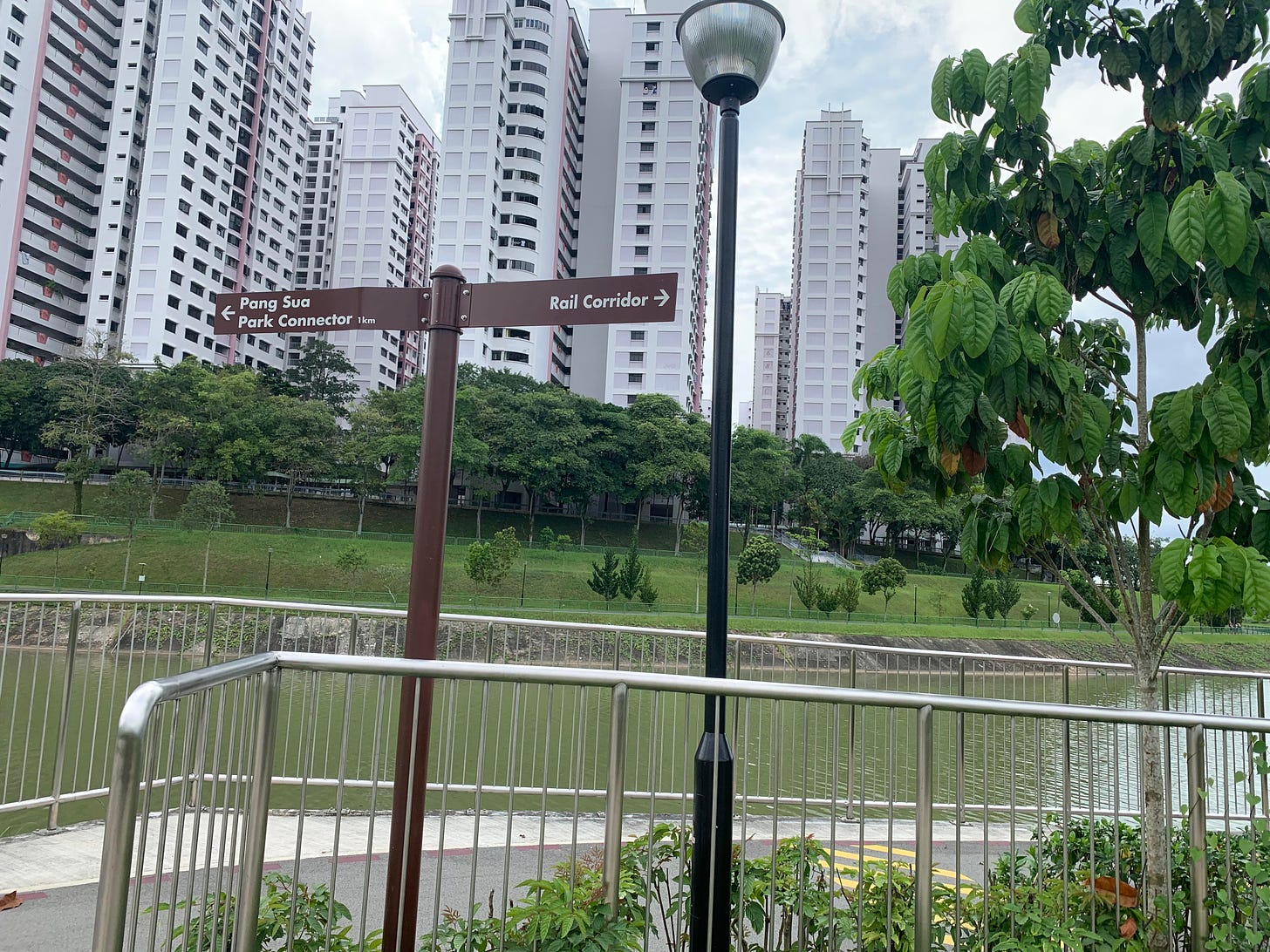
I suggest staying on the right side (if you follow direction of the stream), otherwise you may miss this sign advising you to turn right.
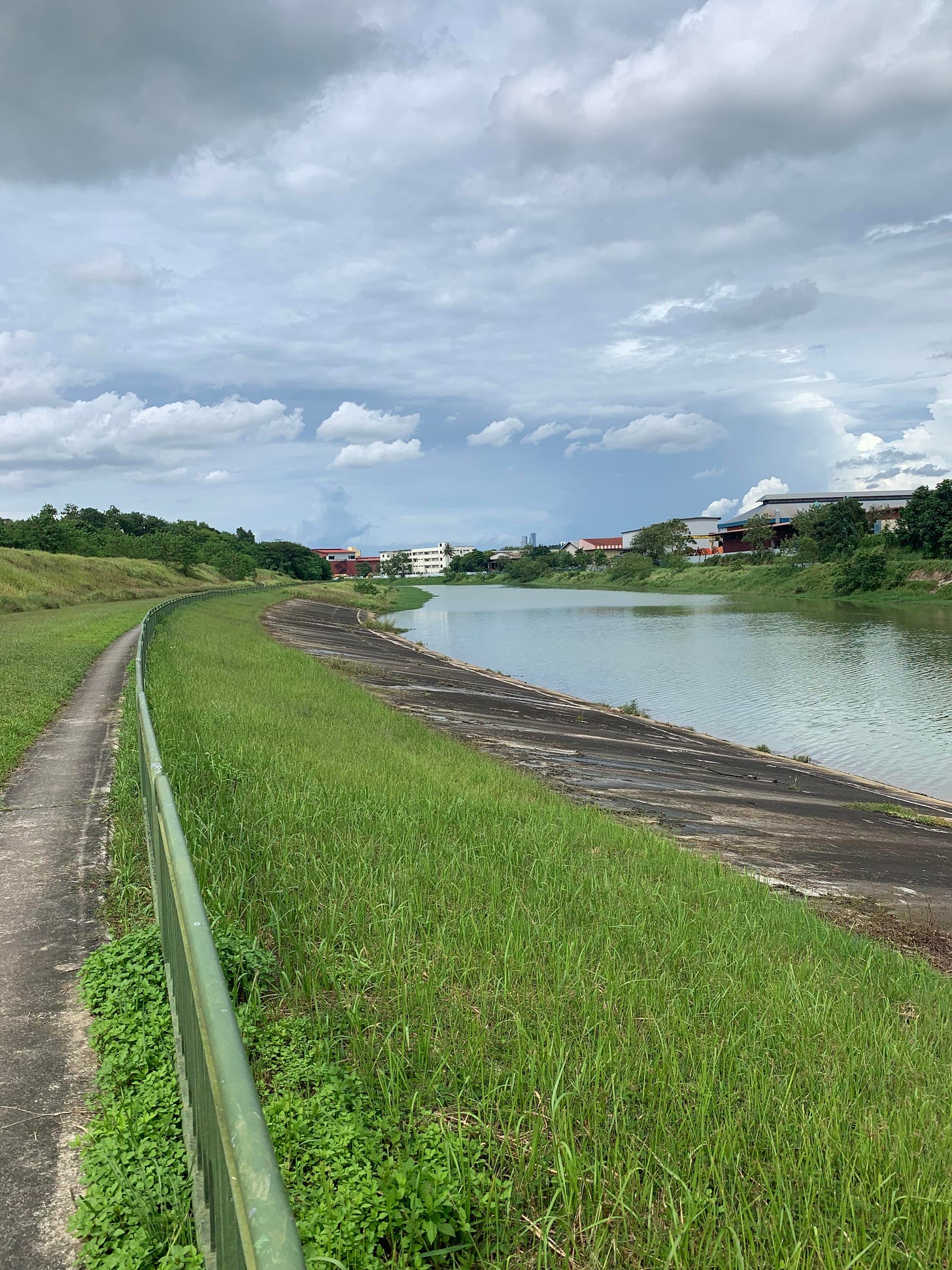
I did miss it enjoying walk along Pang Sua with no people around occasionally asking myself whether I am on the right track before few cyclists advised me to turn back.
I have finished walk at Woodlands station, a bit tired, but happy. Any new place is fun!
(2023 April update) There is a good guide on some new hikes in Singapore, shall do.
Yours in travel
IZ


