

Walking Muroran, Hokkaido, Japan. Sept. 2024.
Compact language, compact city. Spacious memories.

This is the final part of my blog about the trip to Lake Toya, Hokkaido.
Part 1 is here. Part 2 is here.
Fact sheet. Muroran is a port and industrial center located in the south-east of Hokkaido territory, Japan. Industries - iron, steel, machinery, oil refinery, cement. Population is around 76,000. It is located along Etomo Peninsula and has many great view spots.
Muroran. I went there while staying near Lake Toya for a day trip. I posted about Lake Toya last year. Of course, I was curious to see a new city, and ironically, I was attracted by the name. Mu-ro-ran. Something enigmatic, strong and unique. Probably…
Actually, in indigenous Ainu language it means “the bottom of a little slope”. I wonder how compact this language is as it packs a few English words into one Ainu word.
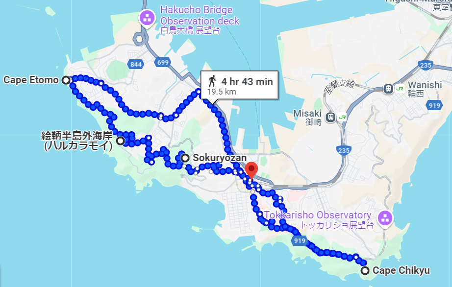
The map above is an attempt to show my route, but guess it looks confusing, so I will describe the sequence. Train station- Sokuryozan (Mt. Sokuryou) - Cape Etomo - taxi to Cape Chikyu- walk to Muroran station bus stop - (then bus to Toya). What I discovered later is that most of these places I walked around belong to the so called “Muroran Hachikei” - Muroran 8 best scenic spots.
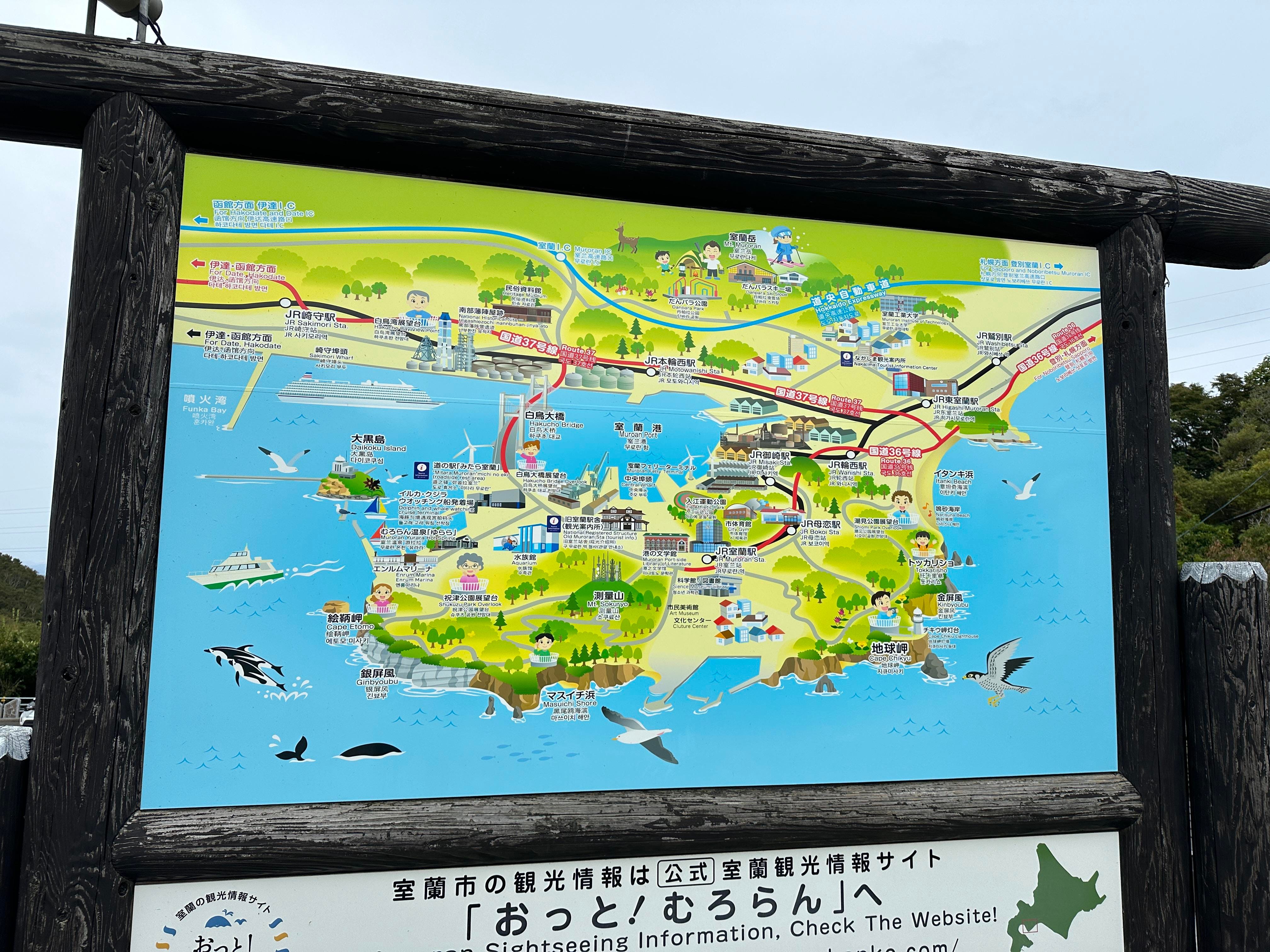
Good map of Muroran is below. Yes, I love maps!
You can get to Muroran from Lake Toya village by bus or from Toya station by train. I have not tried riding Muroran line before, so I opted for the train.
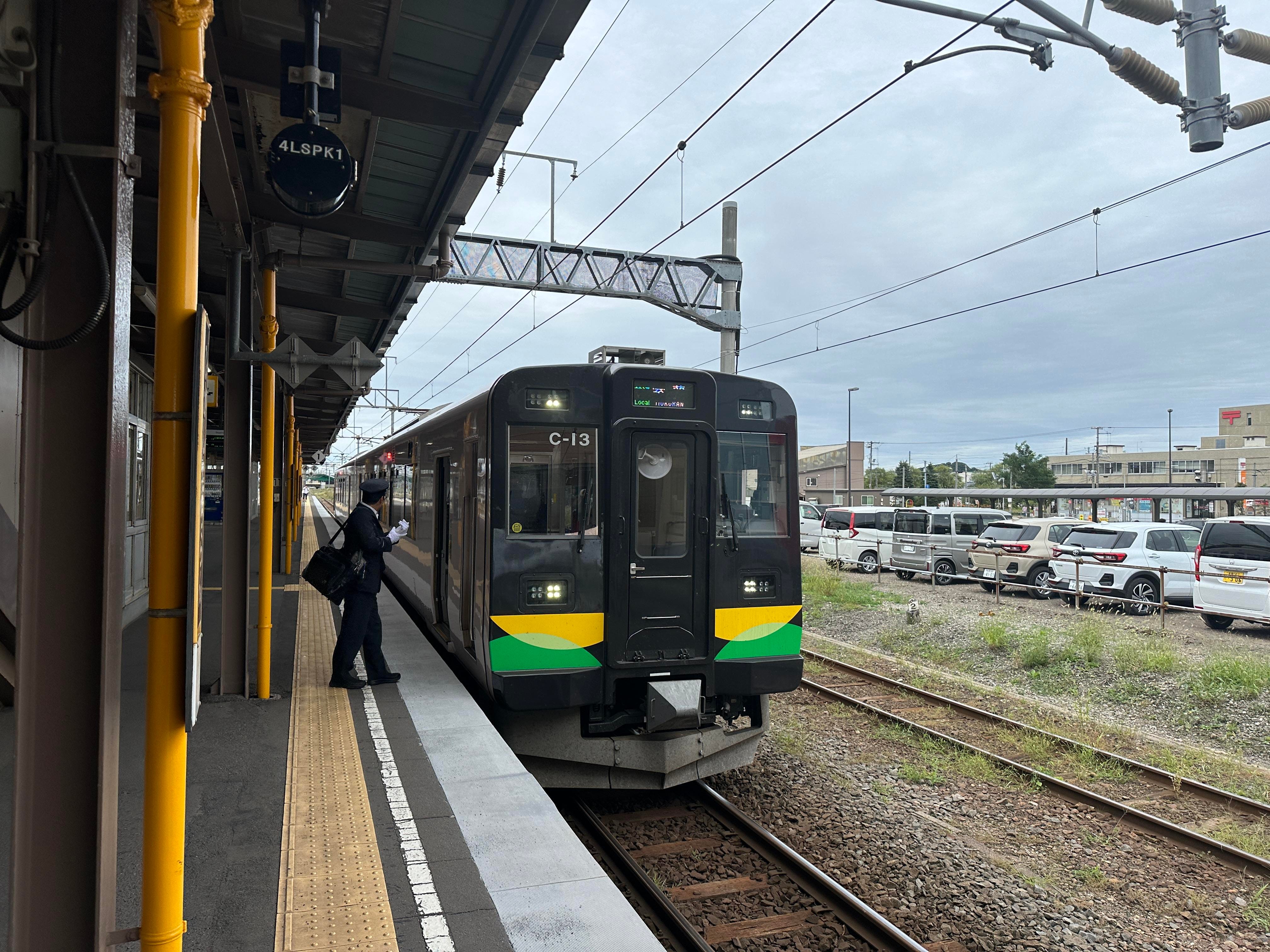
The route is scenic along the coast. There is one transfer at Higashi-Muroran station.

Took me around 80 minutes in total, and here is Muroran station.
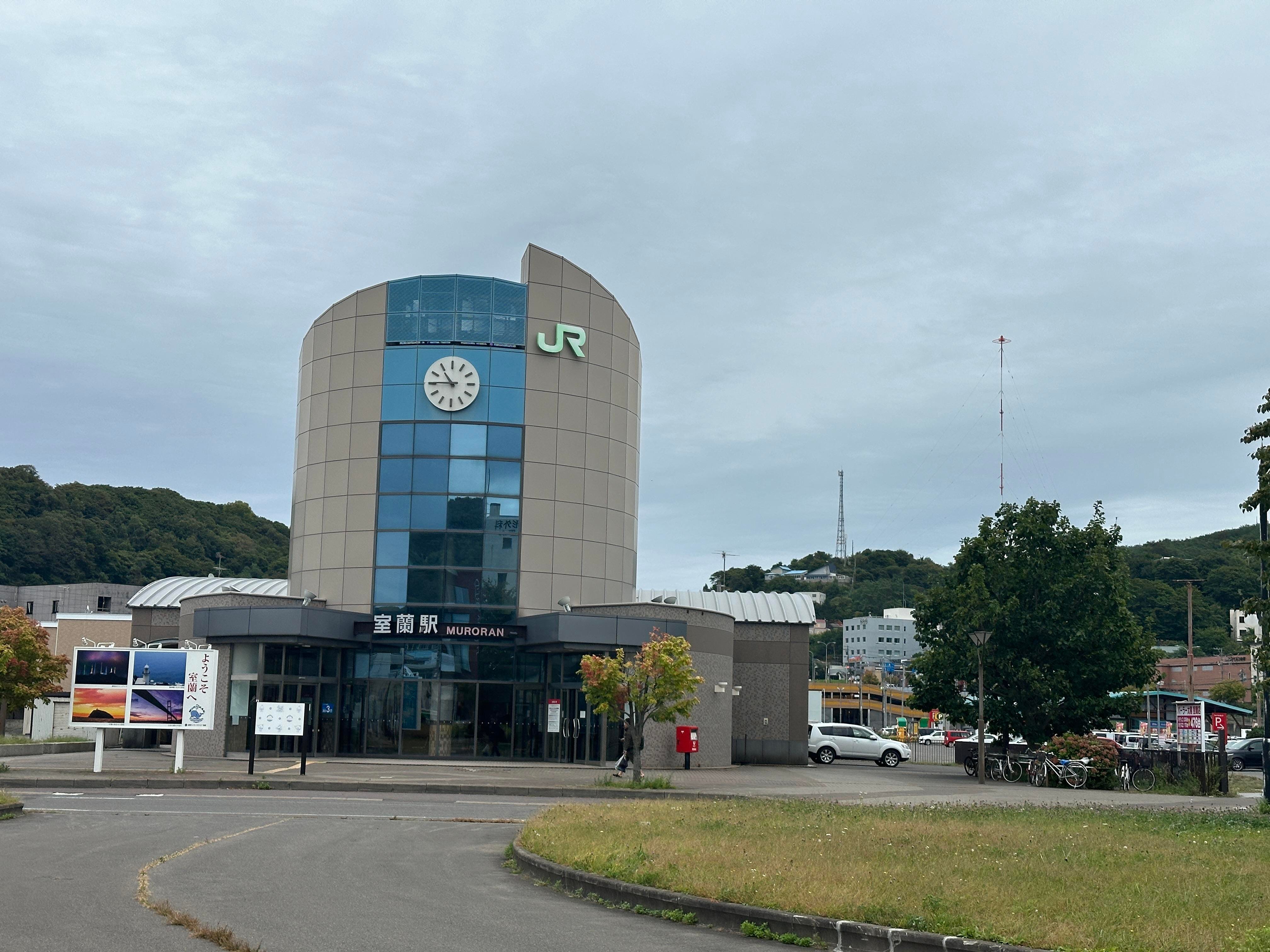
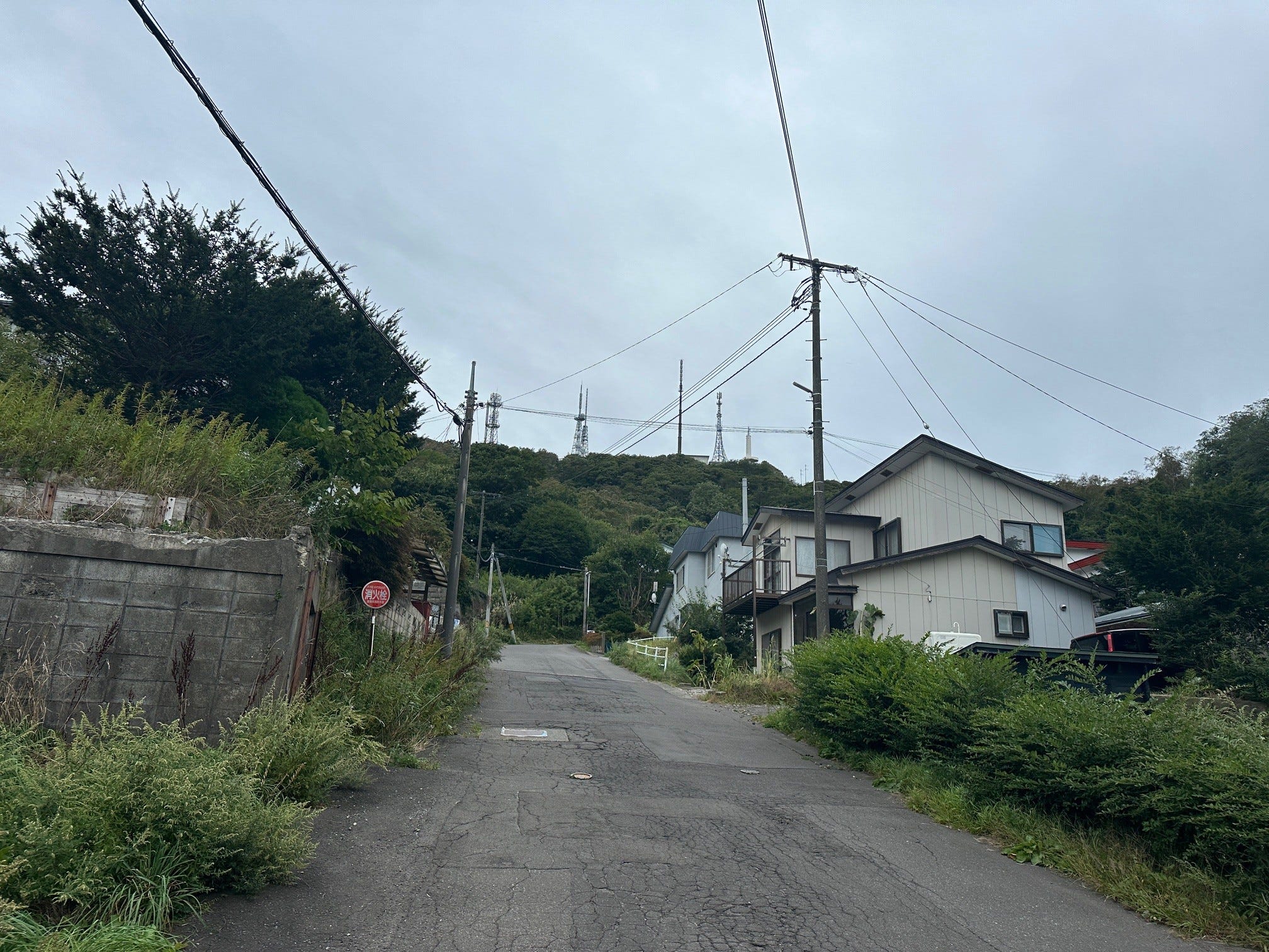
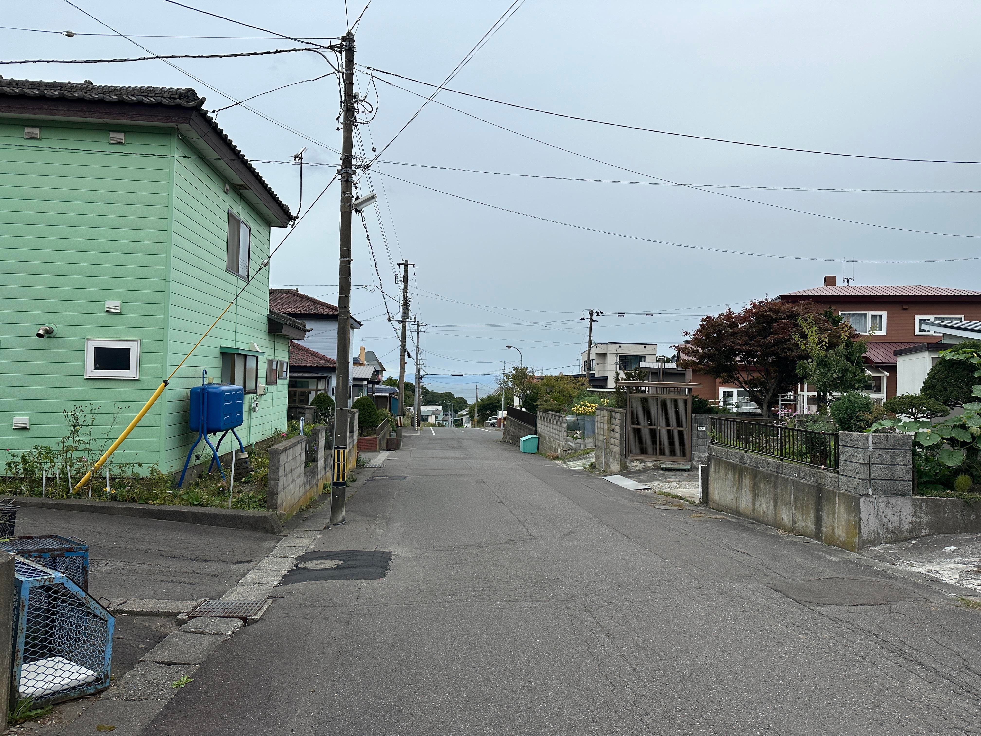
From the station I used Google Maps and walked towards Sokuryozan. I now understand the meaning of the city’s name “The bottom of a little slope”. Railway station is at the bottom, all the views are on the top. So, I am going up and up. Hills and small houses. A charm of a small city, not touched by the mass tourism. Yet.
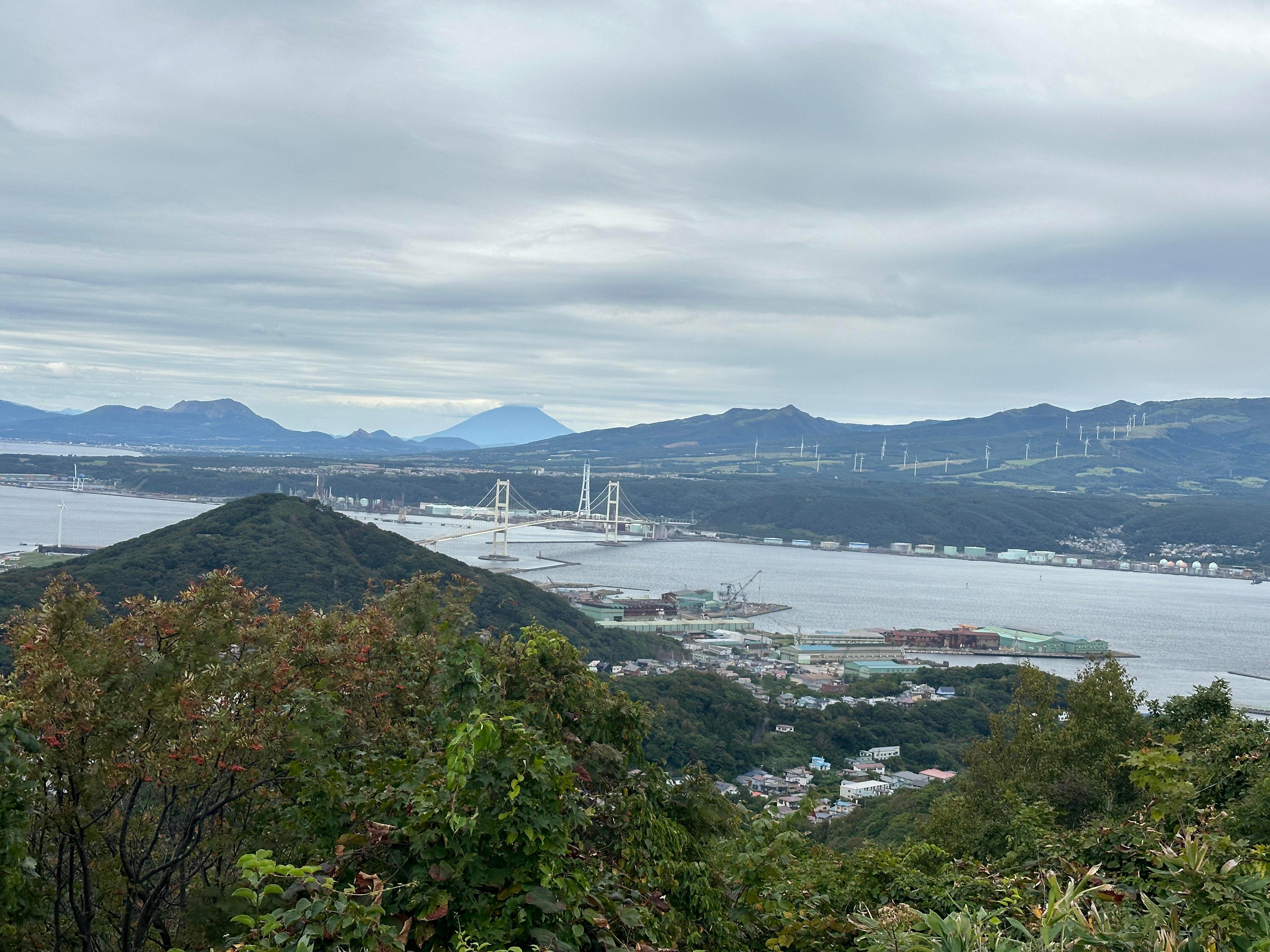
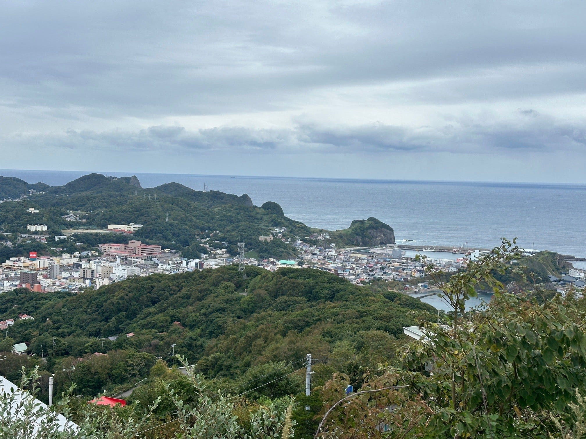
From the train station not too long a walk, around one hour, and I am on the top of Sokuryo observation hill. The altitude is only around 200 meters, but the views are great. People say it is really beautiful at night.
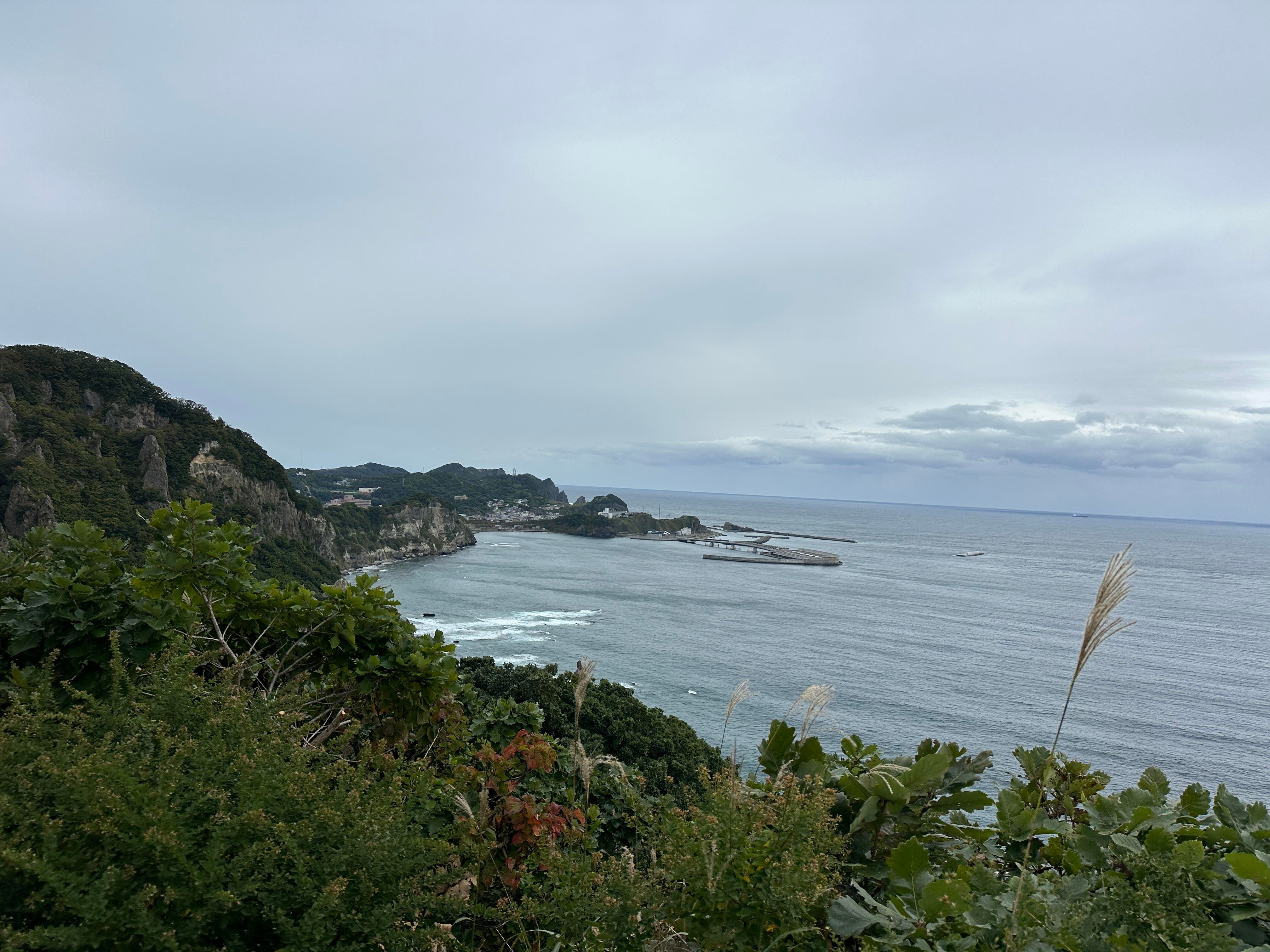
Wait, where is the Muroran city view I read about? I walk to the opposite side of the hill and could see the whole panorama of the city.
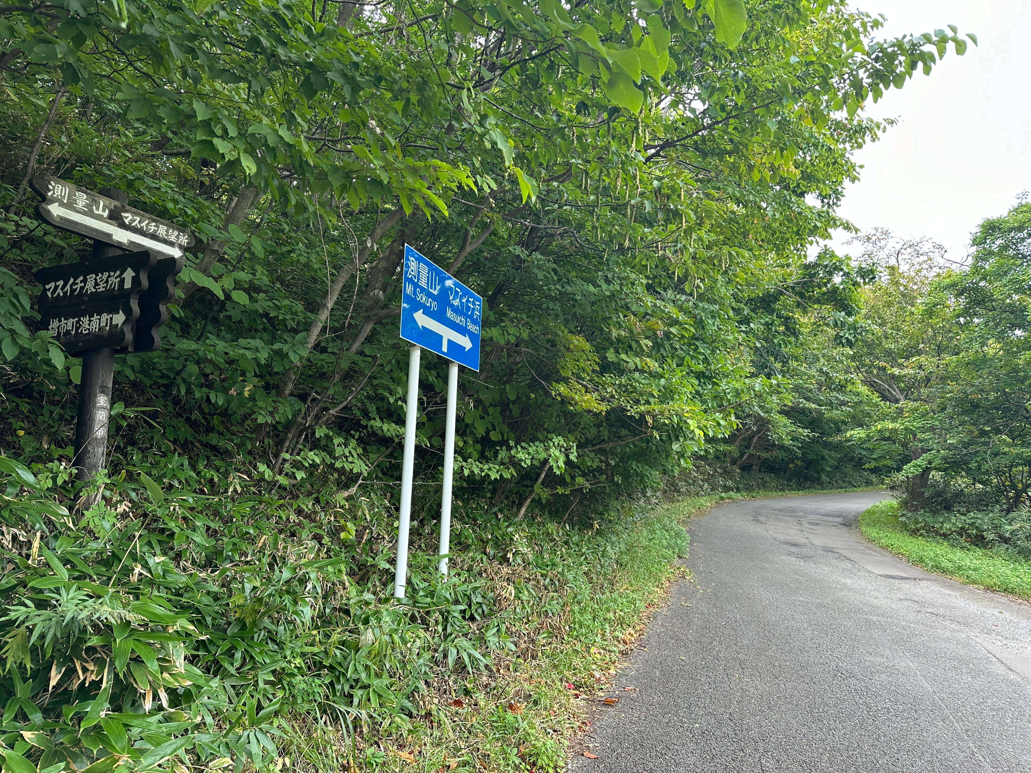
My next destination is Masuichi Beach viewpoint. The place did not come up on Google map, but luckily soon enough I was able to spot the sign.
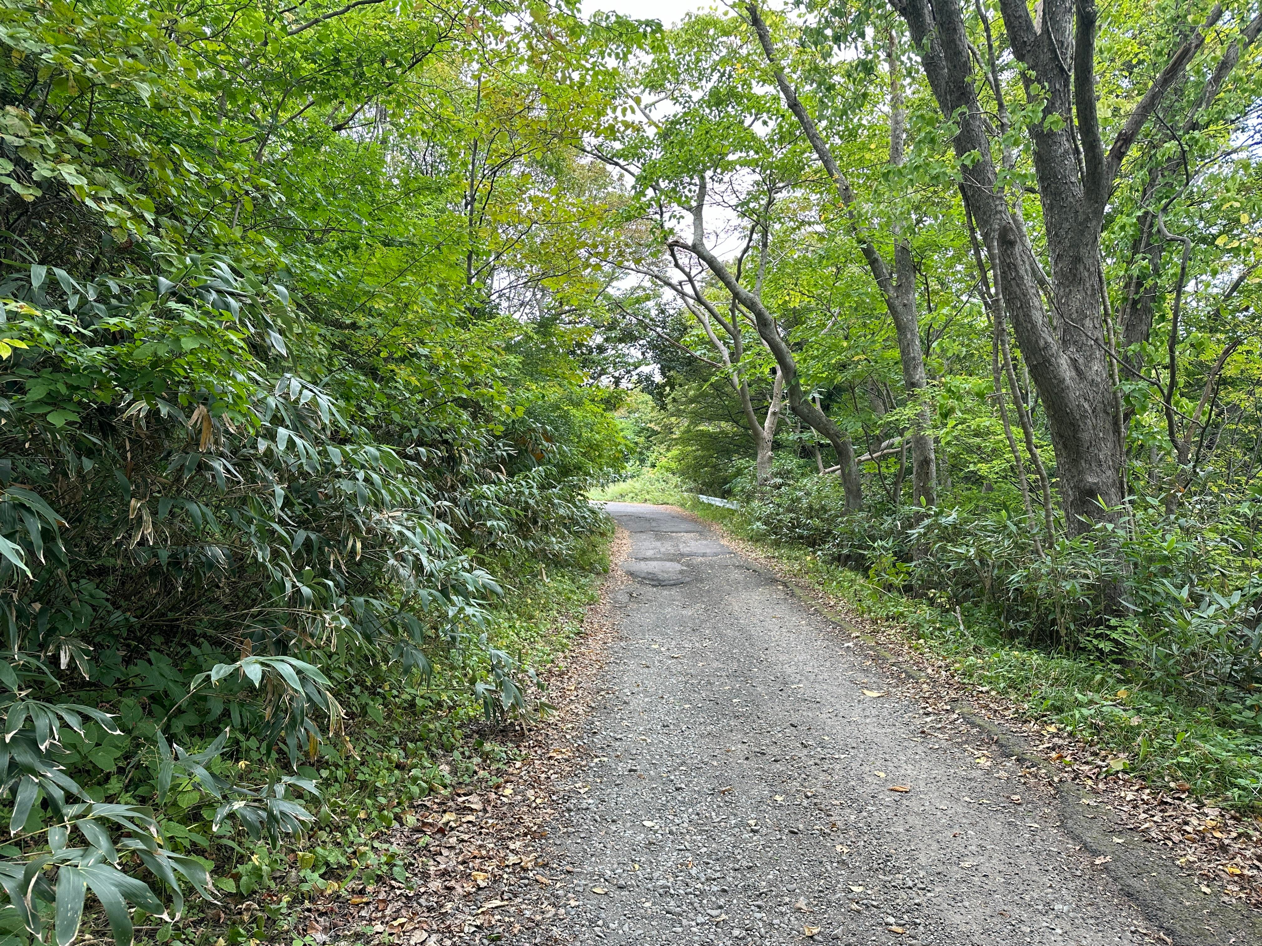
The road is supposed to be shared with cars, but I saw only a few. I did expect to see the bay along the whole walk, but it appeared now and then only. Also, since I was heading to the “beach” I was hoping to enjoy a short swim.
No way. It is not a swim Masuichi “beach”, but rather a Masuichi “coast”.
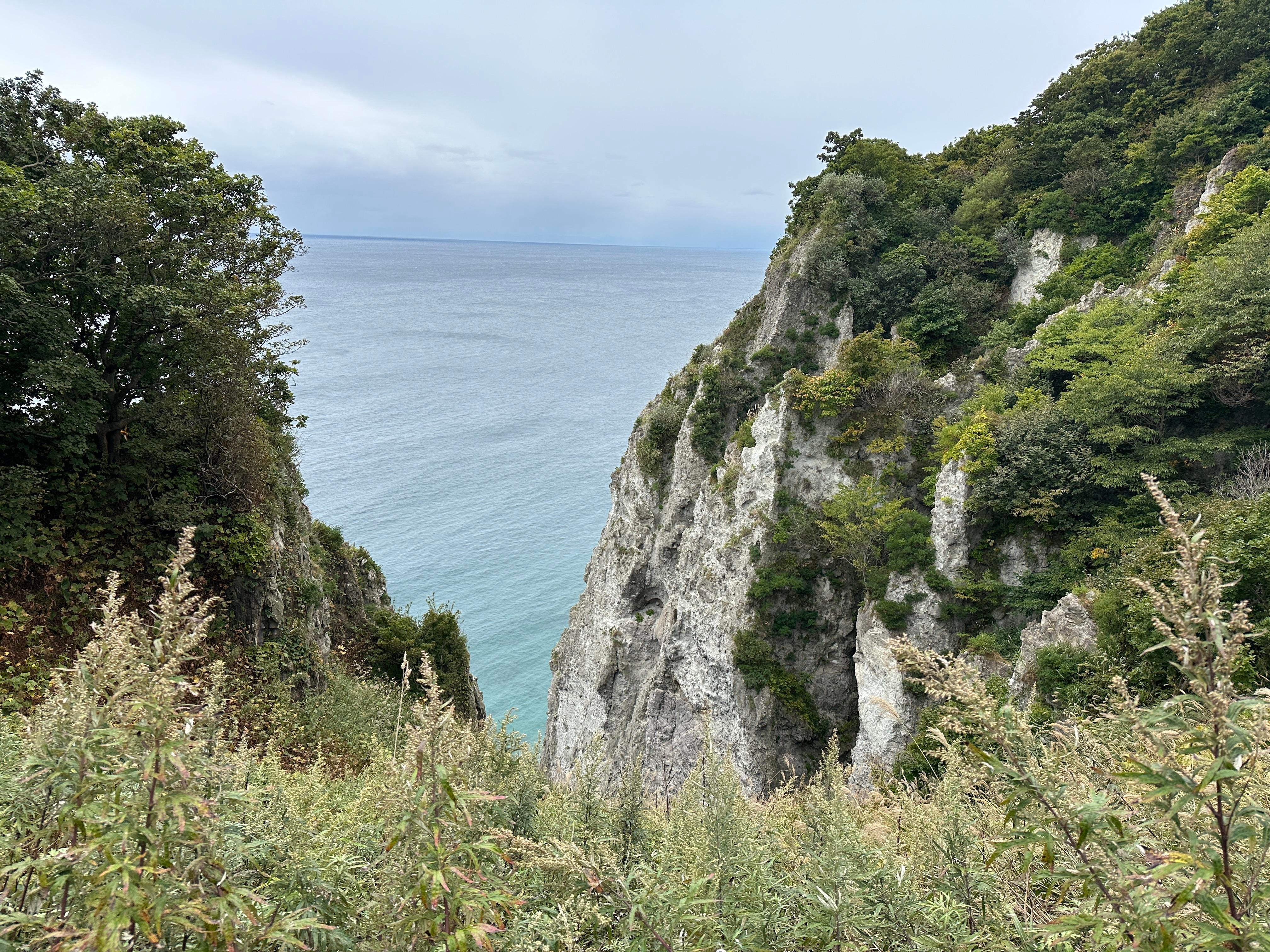
I continue towards Cape Etomo. Interesting rock on the way - Rosoku Ishi (Candle Rock). There are so many in Japan with the same name.
Another 15 minutes’ walk without views and a new opening. It is Hakuramoi Bay. I mentioned in the beginning of the post how capacious the Ainu language is. “Hakuramoi” means “small bay at the bottom of the cliffs”! Wow! Imagine English had such a capacity. For example, you walk into a party and say “Hellomoi” meaning “Hello to all, I will not engage in any discussion about weather or politics but just sip my drink and talk to a few friends I know well”. Nice?!
Continue walking. Seen only 2 cars. This kind of tourism intensity suits me well.
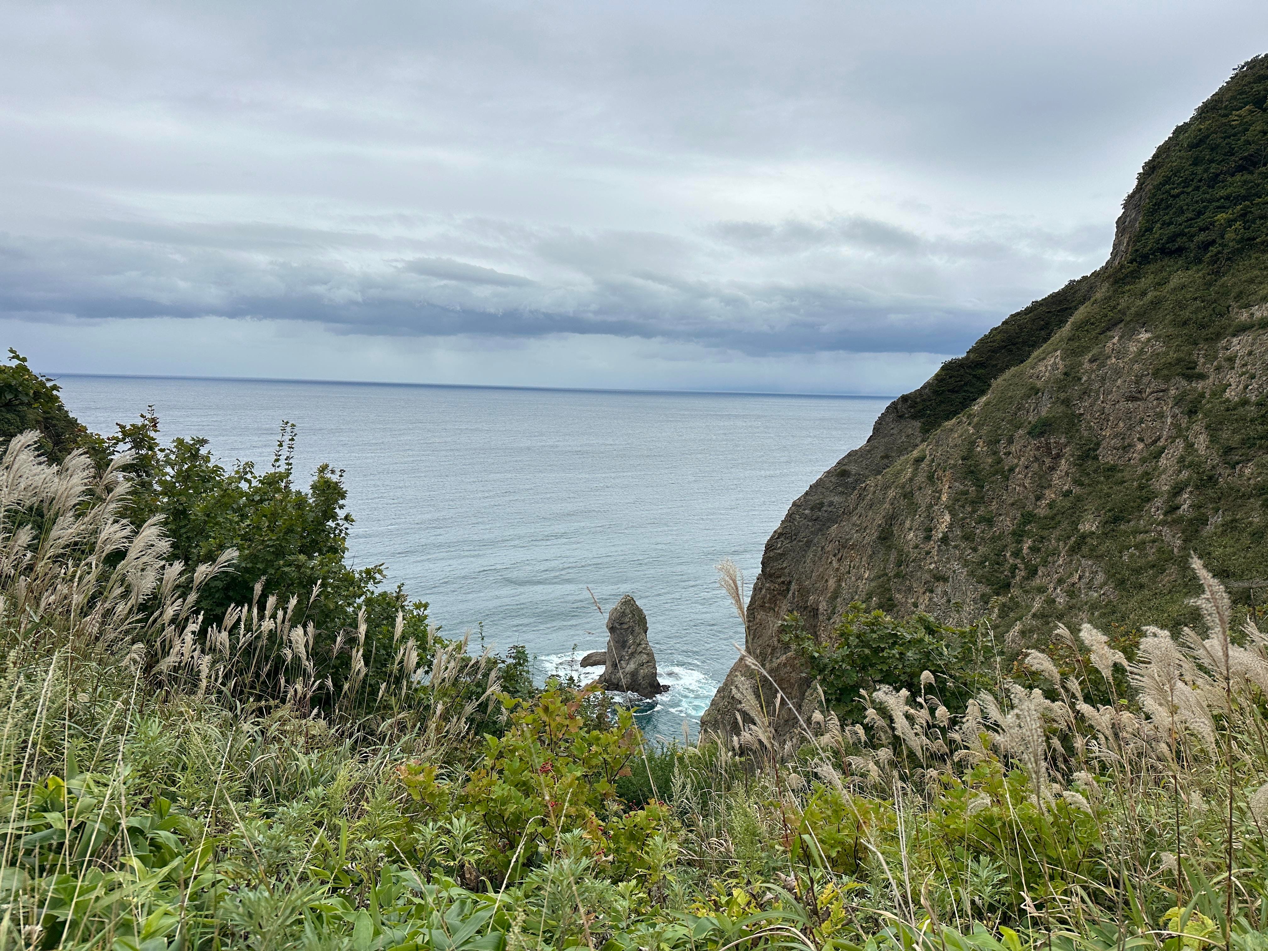
Next is Ginbyobu (Silver Cliff). Apparently if you look from the sea, the sunset paints the cliff into the silver tones.
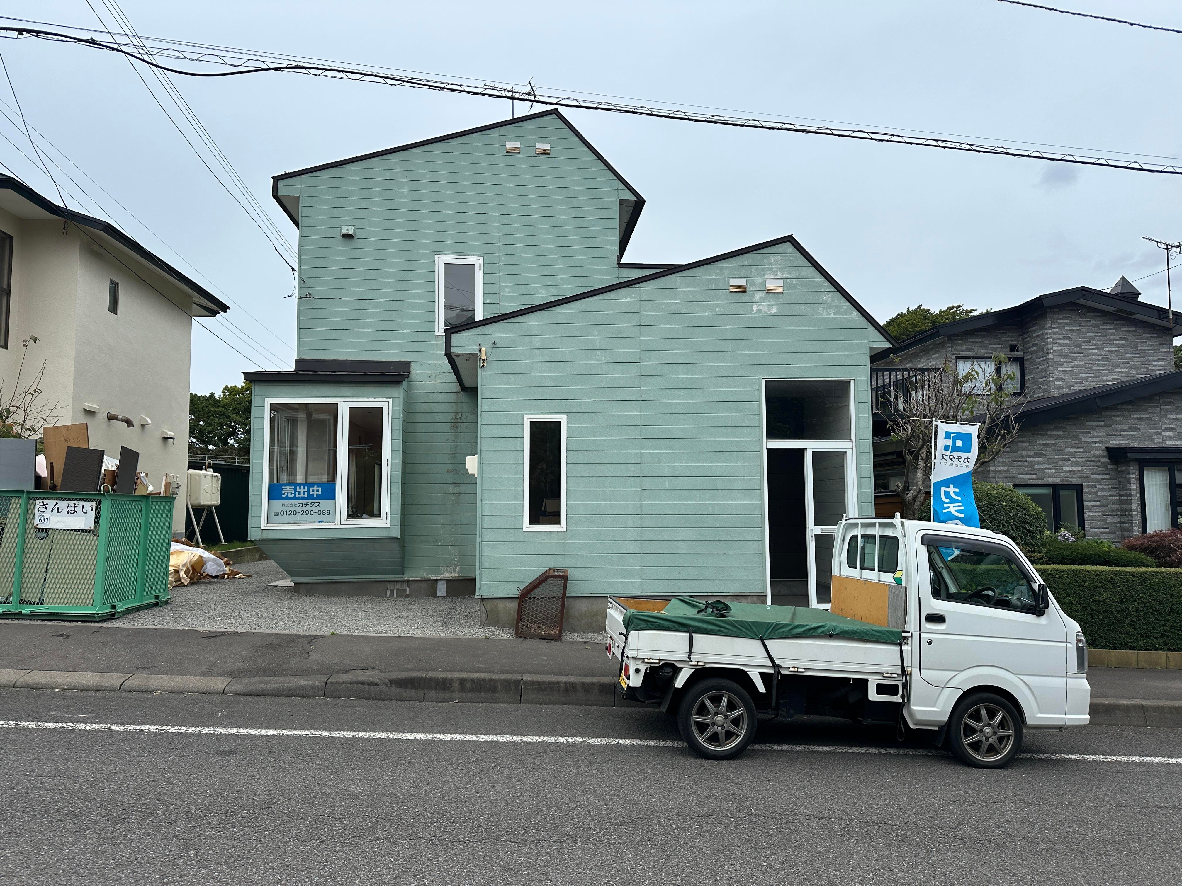
Beautiful. So far, I am happy to have decided to stroll Muroran. Etomo Cape is nearby, and I enter a small neighborhood.
I spot the sign “House for Sale”. As anyone who lived in Australia long enough, I take almost inherent interest in real estate, especially the one with a view (the bay is within 200 metres or so). This duplex in a green color is around 140,000 AUD. Small balcony on the 2nd floor to enjoy bay views.
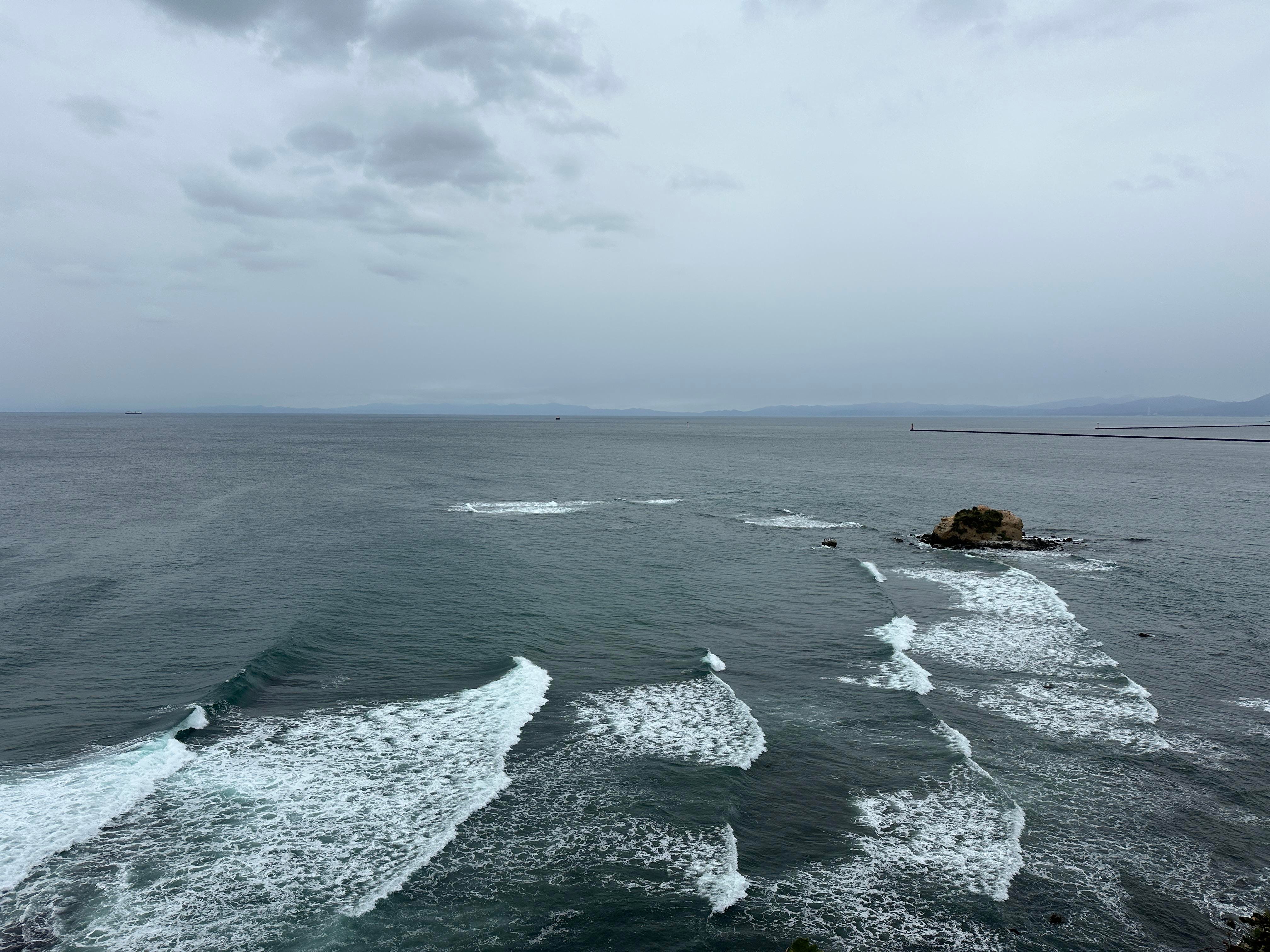
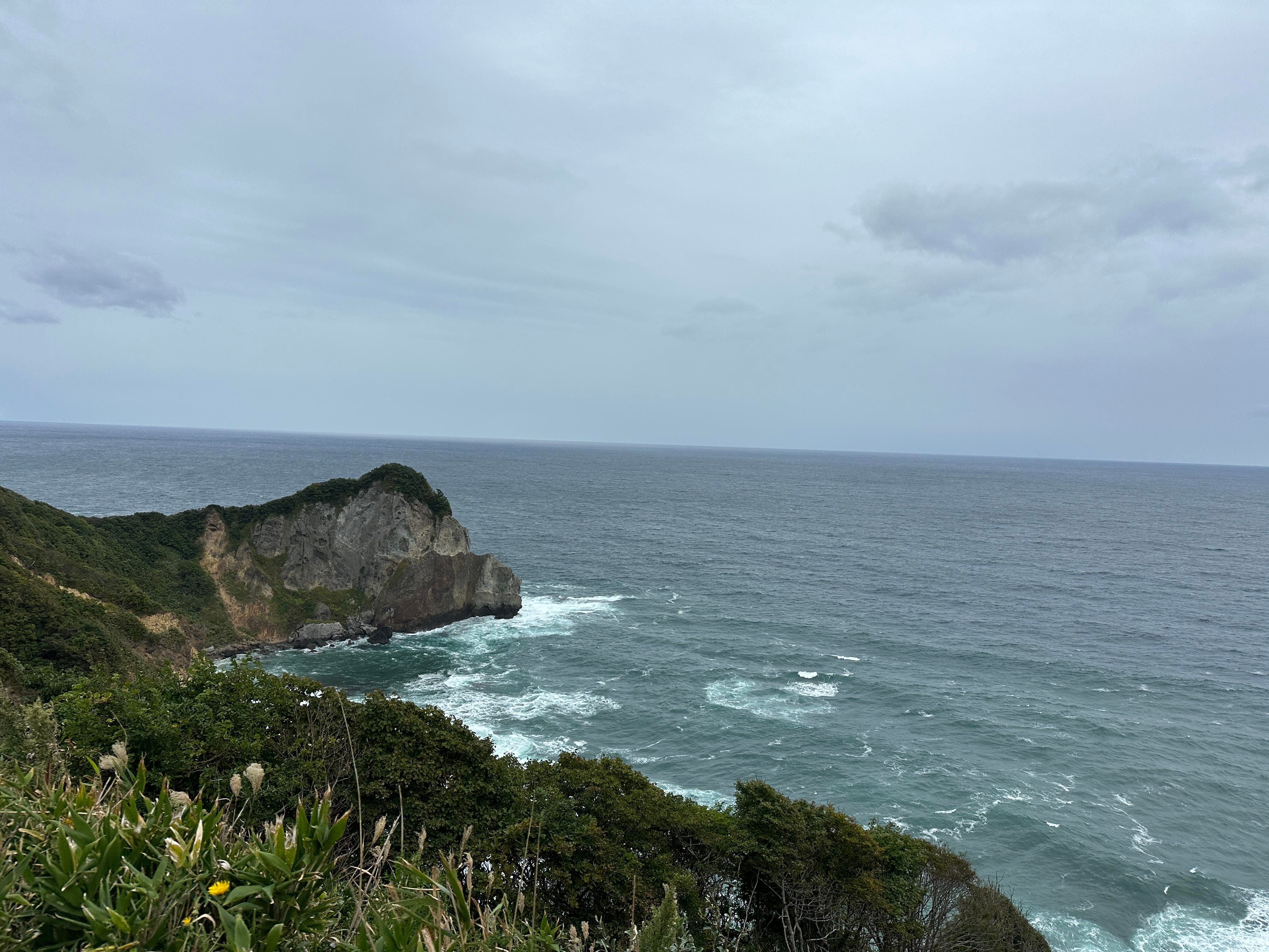
Finally, I arrive at the tip of Cape Etomo. From here I am supposed to see Mount Usu and Showa Shinzan, the area I walked a few days ago. But the weather is gloomy and cloudy. “Denied”.
But I can see small uninhabited island not far away, it is called Daikoku Island, also known as Olsson Island. A Swedish sailor Hans Olsson perished in the accident was buried here at the end of 18th century. Nice place to rest, for sure.
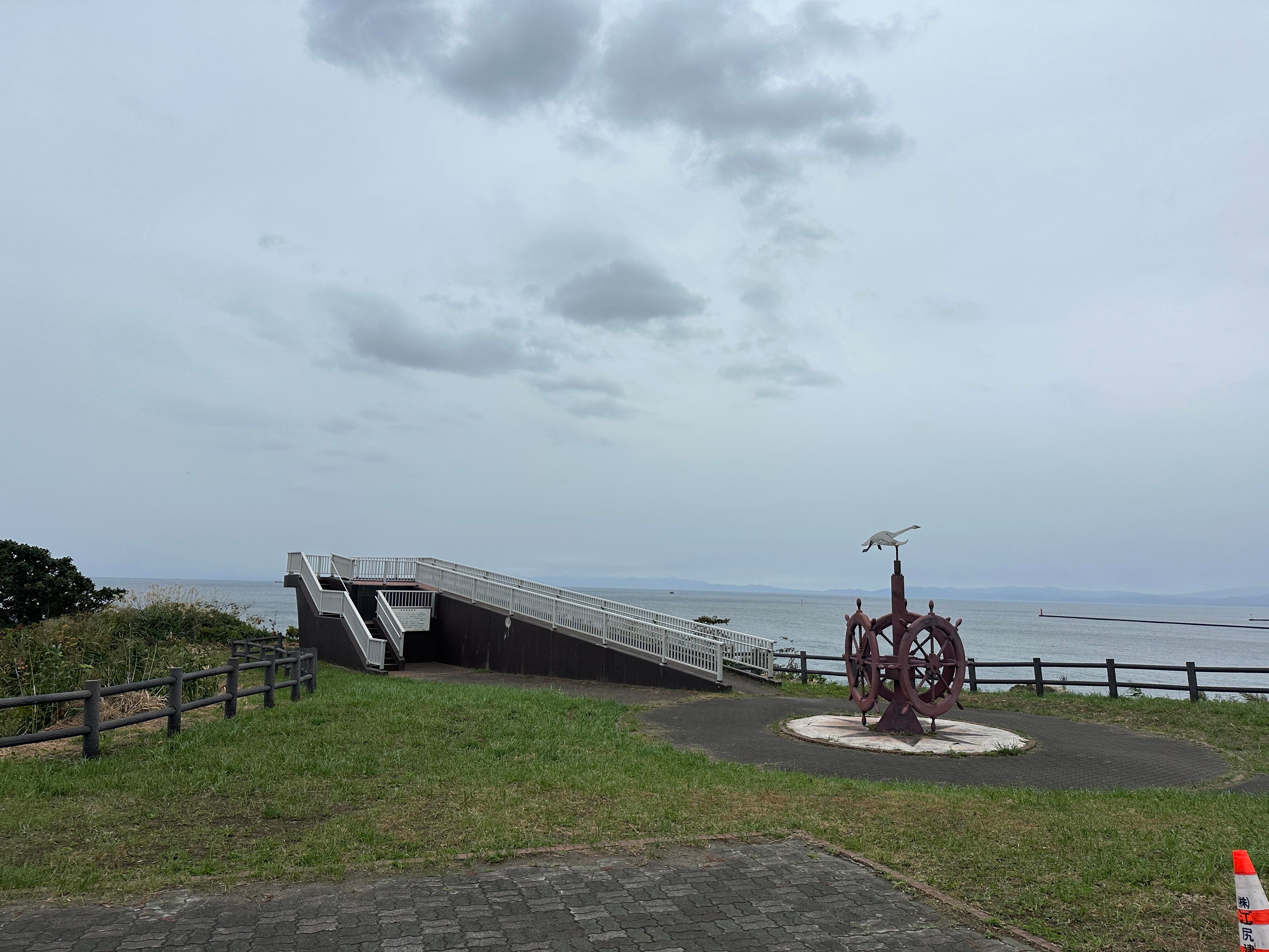
My next destination is Cape Chikyu, on the very south end of Etomo Peninsula. Technically, it is walkable, just two hours from Cape Etomo. But I have to return to my hotel near the Lake Toya and the buses are limited, so I call taxi.
Cape Chikyu is livelier, a lot of couples and solo travelers constantly ringing the Bell of Happiness. Seems to be the most popular tourist spot so far. And the visitors look all happy already, even before they ring the Bell.
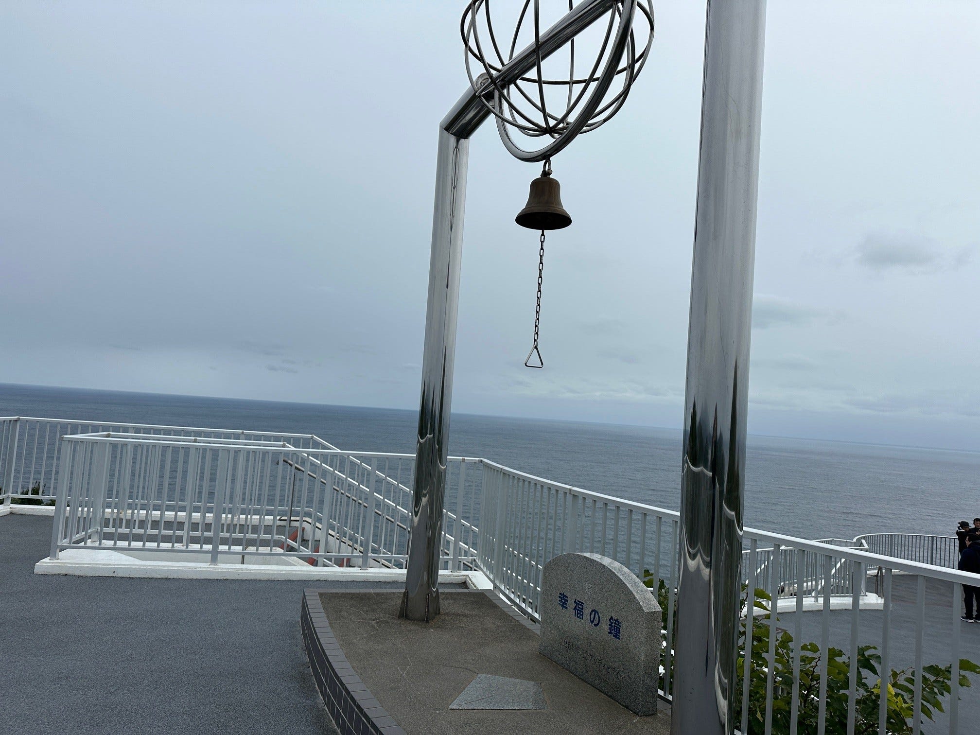
Nearby is another scenic spot, this time it is an upgrade from its silver brother - the Golden Cliff.
Brownishly-red, it radiates gold color for sure.
I want to wander a bit more, but need to catch the last bus, so I sprint walk to the bus terminal.
On the way another interesting spot. This is a small station on local Muroran line called “Bokoi” - Mother’s Love. I truly appreciated the original thinking behind the name.

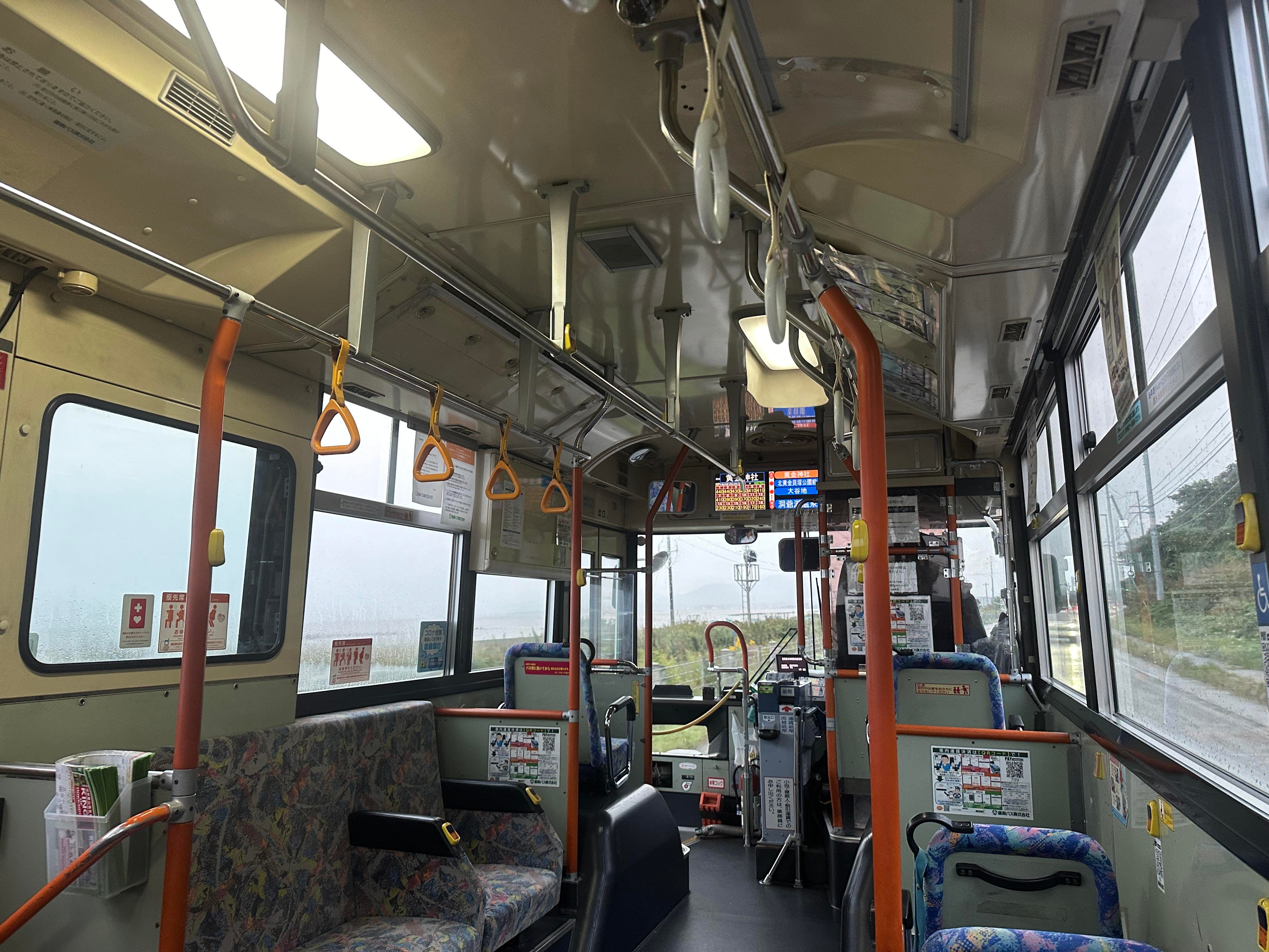
I am puffing heavily but able to catch the bus! The ride is two hours. A very enjoyable two hours looking through the window and practicing reading Japanese characters describing bus stops. It was a fun game. First the characters appear, then comes English reading of them. If you ever tried to study Japanese, you would know that reading geographical names in Japan is a language within a language. So, I challenged myself a bit.
Bye Muroran.
Never visit Hokkaido, it means never was in Muroran. Before it was steel industry center...
Yes, steel is the main industry here now as well.